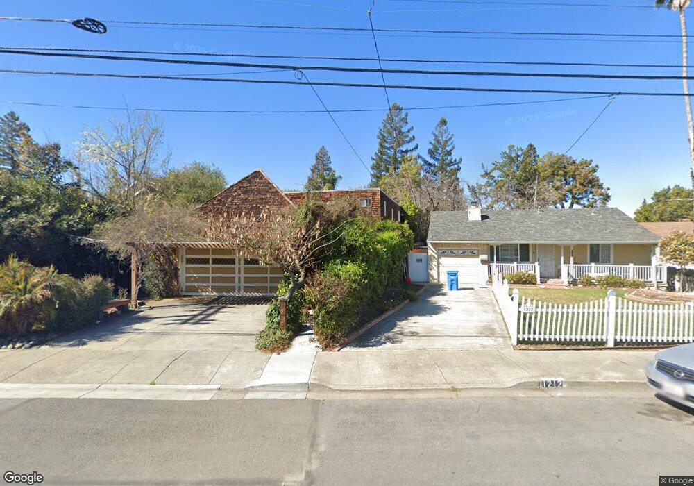
1216 Palm Ave Redwood City, CA 94061
Palm Park NeighborhoodEstimated Value: $1,777,000 - $2,481,000
3
Beds
2
Baths
1,810
Sq Ft
$1,166/Sq Ft
Est. Value
About This Home
This home is located at 1216 Palm Ave, Redwood City, CA 94061 and is currently estimated at $2,110,366, approximately $1,165 per square foot. 1216 Palm Ave is a home located in San Mateo County with nearby schools including Henry Ford Elementary School, John F. Kennedy Middle School, and Woodside High School.
Ownership History
Date
Name
Owned For
Owner Type
Purchase Details
Closed on
Jan 7, 2021
Sold by
Leonard George J and Leonard Simei
Bought by
Leonard George J and Leonard Simei
Current Estimated Value
Home Financials for this Owner
Home Financials are based on the most recent Mortgage that was taken out on this home.
Original Mortgage
$259,500
Interest Rate
2.7%
Mortgage Type
New Conventional
Purchase Details
Closed on
Jun 29, 2017
Sold by
Leonard George J and Leonard Simei
Bought by
Leonard George J and Leonard Simei
Home Financials for this Owner
Home Financials are based on the most recent Mortgage that was taken out on this home.
Original Mortgage
$275,000
Interest Rate
3.95%
Mortgage Type
New Conventional
Purchase Details
Closed on
Dec 20, 1996
Sold by
George Leonard
Bought by
Leonard George J and Leonard Simei
Create a Home Valuation Report for This Property
The Home Valuation Report is an in-depth analysis detailing your home's value as well as a comparison with similar homes in the area
Home Values in the Area
Average Home Value in this Area
Purchase History
| Date | Buyer | Sale Price | Title Company |
|---|---|---|---|
| Leonard George J | -- | Wfg National Title Ins Co | |
| Leonard George J | -- | Wfg National Title Ins Co | |
| Leonard George J | -- | Lawyers Title Company | |
| Leonard George J | -- | Lawyers Title Company | |
| Leonard George J | -- | -- |
Source: Public Records
Mortgage History
| Date | Status | Borrower | Loan Amount |
|---|---|---|---|
| Closed | Leonard George J | $259,500 | |
| Closed | Leonard George J | $275,000 |
Source: Public Records
Tax History Compared to Growth
Tax History
| Year | Tax Paid | Tax Assessment Tax Assessment Total Assessment is a certain percentage of the fair market value that is determined by local assessors to be the total taxable value of land and additions on the property. | Land | Improvement |
|---|---|---|---|---|
| 2025 | $6,961 | $538,876 | $265,237 | $273,639 |
| 2023 | $6,961 | $517,953 | $254,939 | $263,014 |
| 2022 | $6,500 | $507,798 | $249,941 | $257,857 |
| 2021 | $5,374 | $497,842 | $245,041 | $252,801 |
| 2020 | $5,301 | $492,738 | $242,529 | $250,209 |
| 2019 | $5,280 | $483,077 | $237,774 | $245,303 |
| 2018 | $5,140 | $473,606 | $233,112 | $240,494 |
| 2017 | $5,083 | $464,321 | $228,542 | $235,779 |
| 2016 | $5,000 | $455,217 | $224,061 | $231,156 |
| 2015 | $4,811 | $448,380 | $220,696 | $227,684 |
| 2014 | $4,717 | $439,597 | $216,373 | $223,224 |
Source: Public Records
Map
Nearby Homes
- 1506 Kentfield Ave
- 1430 Gordon St Unit C
- 1567 Hawes Ct
- 1625 Kentfield Ave
- 1227 Chantal Way
- 1 Doris Ct
- 1555 Oxford St
- 8 Kentfield Ct
- 1458 Hudson St Unit 202
- 1458 Hudson St Unit 208
- 1458 Hudson St Unit 305
- 1458 Hudson St Unit 111
- 1522 Hudson St
- 1397 Norman St
- 1334 Norman St
- 1105 Oak Ave
- 931 Woodside Rd
- 947 Woodside Rd
- 955 Woodside Rd
- 1148 Saint Francis St
- 1485 Kentfield Ave
- 1220 Palm Ave
- 1212 Palm Ave
- 1481 Kentfield Ave
- 1505 Union Ave
- 1477 Kentfield Ave
- 1219 Palm Ave
- 1211 Palm Ave
- 1146 Palm Ave
- 1513 Union Ave
- 1465 Kentfield Ave
- 1463 Kentfield Ave
- 1503 Palm Ave
- 1476 Kentfield Ave
- 1467 Kentfield Ave
- 1203 Palm Ave
- 1461 Kentfield Ave
- 1464 Kentfield Ave
- 1136 Palm Ave
- 1459 Kentfield Ave