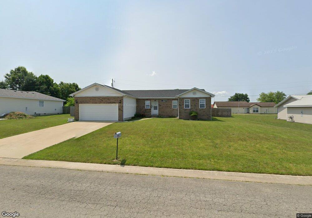
1216 Troutman Dr Lebanon, MO 65536
Estimated Value: $189,000 - $224,000
3
Beds
2
Baths
1,718
Sq Ft
$119/Sq Ft
Est. Value
About This Home
This home is located at 1216 Troutman Dr, Lebanon, MO 65536 and is currently estimated at $204,458, approximately $119 per square foot. 1216 Troutman Dr is a home located in Laclede County with nearby schools including Joe D. Esther Elementary School, Maplecrest Elementary School, and Boswell Elementary School.
Ownership History
Date
Name
Owned For
Owner Type
Purchase Details
Closed on
Jul 5, 2013
Sold by
Reed Kathryn L
Bought by
Mullican Tyler
Current Estimated Value
Home Financials for this Owner
Home Financials are based on the most recent Mortgage that was taken out on this home.
Original Mortgage
$91,315
Outstanding Balance
$65,578
Interest Rate
3.63%
Mortgage Type
FHA
Estimated Equity
$138,880
Create a Home Valuation Report for This Property
The Home Valuation Report is an in-depth analysis detailing your home's value as well as a comparison with similar homes in the area
Home Values in the Area
Average Home Value in this Area
Purchase History
| Date | Buyer | Sale Price | Title Company |
|---|---|---|---|
| Mullican Tyler | -- | None Available |
Source: Public Records
Mortgage History
| Date | Status | Borrower | Loan Amount |
|---|---|---|---|
| Open | Mullican Tyler | $91,315 |
Source: Public Records
Tax History Compared to Growth
Tax History
| Year | Tax Paid | Tax Assessment Tax Assessment Total Assessment is a certain percentage of the fair market value that is determined by local assessors to be the total taxable value of land and additions on the property. | Land | Improvement |
|---|---|---|---|---|
| 2025 | $973 | $19,170 | $0 | $0 |
| 2024 | $973 | $17,060 | $0 | $0 |
| 2023 | $1,002 | $17,060 | $0 | $0 |
| 2022 | $934 | $17,060 | $0 | $0 |
| 2021 | $1,029 | $17,062 | $1,900 | $15,162 |
| 2020 | $1,034 | $17,062 | $1,900 | $15,162 |
| 2019 | $990 | $17,060 | $1,900 | $15,160 |
| 2018 | $929 | $17,060 | $1,900 | $15,160 |
| 2017 | $881 | $17,060 | $0 | $0 |
| 2016 | $881 | $17,060 | $0 | $0 |
| 2015 | $881 | $17,060 | $0 | $0 |
| 2014 | $881 | $17,060 | $0 | $0 |
| 2013 | -- | $17,060 | $0 | $0 |
Source: Public Records
Map
Nearby Homes
- 1215 Glenridge St Unit 5, 6, 7, 8, 9
- TBD Phillips Dr
- 1211 W Elm St
- 1225 Applelane Dr
- 1328 Linda Cir
- 000 U S Route 66
- 1171 W Elm St
- 11 Sunrise Dr
- 1 Ice Cream Way
- 3 Ice Cream Way
- 4 Ice Cream Way
- 2176 Beck Ln
- 1507 Finn Dr
- 1511 Rader Dr
- 0 Ivey Ln Unit MIS25060889
- 2301 Cranberry Ln
- 517 Holly St
- 704 W 2nd St
- 545 W Pierce St
- 406 Perry St
- 1217 Howard Dr
- 1225 Howard Dr
- 1209 Howard Dr
- 1209 Troutman Dr
- 1200 Troutman Dr
- 1 Troutman Dr
- 0 Troutman Dr
- 1201 Troutman Dr
- 1201 Howard Dr
- 1216 Howard Dr
- 1140 Troutman Dr
- 2 Howard
- 1208 Howard Dr
- 1224 Howard Dr
- 1241 Howard Dr
- 1147 Howard Dr
- 1141 Troutman Dr
- 1232 Howard Dr
- 1200 Howard Dr
- 1132 Troutman Dr