1216 White Fir Rd Westwood, CA 96137
Estimated Value: $394,000 - $498,000
3
Beds
3
Baths
1,344
Sq Ft
$327/Sq Ft
Est. Value
About This Home
This home is located at 1216 White Fir Rd, Westwood, CA 96137 and is currently estimated at $438,926, approximately $326 per square foot. 1216 White Fir Rd is a home located in Plumas County.
Ownership History
Date
Name
Owned For
Owner Type
Purchase Details
Closed on
Apr 4, 2007
Sold by
Bowlin Mary Meek
Bought by
Brenner Lloyd R and Brenner Leah N
Current Estimated Value
Home Financials for this Owner
Home Financials are based on the most recent Mortgage that was taken out on this home.
Original Mortgage
$228,000
Outstanding Balance
$137,703
Interest Rate
6.13%
Mortgage Type
Purchase Money Mortgage
Estimated Equity
$301,223
Purchase Details
Closed on
Sep 15, 2004
Sold by
Meek William Harold and The William Harold Meek Jr Tru
Bought by
Bowlin Mary Meek
Create a Home Valuation Report for This Property
The Home Valuation Report is an in-depth analysis detailing your home's value as well as a comparison with similar homes in the area
Home Values in the Area
Average Home Value in this Area
Purchase History
| Date | Buyer | Sale Price | Title Company |
|---|---|---|---|
| Brenner Lloyd R | $285,000 | Chicago Title Co | |
| Bowlin Mary Meek | -- | Chicago Title Co |
Source: Public Records
Mortgage History
| Date | Status | Borrower | Loan Amount |
|---|---|---|---|
| Open | Brenner Lloyd R | $228,000 |
Source: Public Records
Tax History Compared to Growth
Tax History
| Year | Tax Paid | Tax Assessment Tax Assessment Total Assessment is a certain percentage of the fair market value that is determined by local assessors to be the total taxable value of land and additions on the property. | Land | Improvement |
|---|---|---|---|---|
| 2025 | $4,752 | $381,824 | $187,561 | $194,263 |
| 2023 | $4,752 | $295,952 | $114,769 | $181,183 |
| 2022 | $3,591 | $290,149 | $112,519 | $177,630 |
| 2021 | $3,411 | $290,149 | $112,519 | $177,630 |
| 2020 | $3,477 | $286,667 | $112,519 | $174,148 |
| 2019 | $2,929 | $237,364 | $112,519 | $124,845 |
| 2018 | $2,825 | $233,728 | $112,519 | $121,209 |
| 2017 | $2,799 | $227,992 | $110,313 | $117,679 |
| 2016 | $2,576 | $221,352 | $107,100 | $114,252 |
| 2015 | $2,544 | $218,025 | $107,100 | $110,925 |
| 2014 | $2,548 | $218,025 | $107,100 | $110,925 |
Source: Public Records
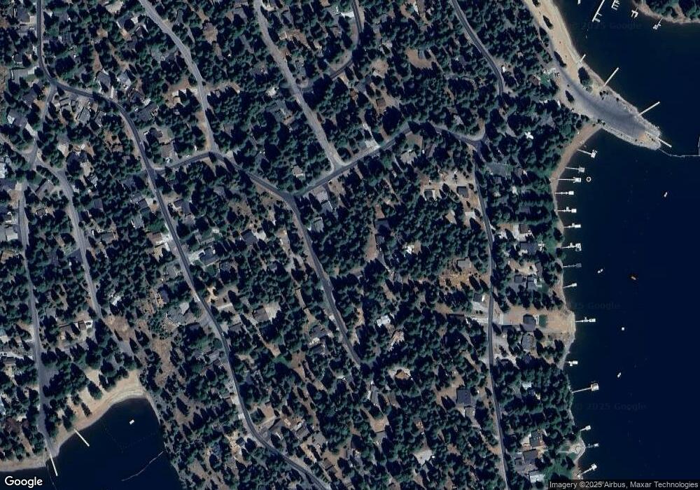
Map
Nearby Homes
- 1216 Lynx Rd
- 1220 Lynx Rd
- 1130 Clifford Dr
- 1155 Lake Ridge Rd
- 1113 Fairway Pines Rd
- 1283 Lassen View Dr
- 945 Lassen View Dr
- 1276 Lassen View Dr
- 1210 Hidden Beach Rd
- 1117 Peninsula Dr
- 1108 Clifford Dr
- 1131 Lake Ridge Rd
- 1260 Peninsula Dr
- 1110 Lake Ridge Rd
- 911 Peninsula Dr
- 910 Clifford Dr
- 911 Clifford Dr
- 814 Lake Ridge Rd
- 1142 Lake Ridge Rd
- 834 Lake Ridge Rd
- 1218 White Fir Rd
- 1218 White Fir Rd
- 1214 White Fir Rd
- 1212 White Fir Rd
- 1220 White Fir Rd
- 1211 Peninsula Dr
- 1208 White Fir Trail
- 1222 White Fir Rd
- 1207 Peninsula Dr
- 1220 White Fir Trail
- 1215 Peninsula Dr
- 1205 Peninsula Dr
- 1228 White Fir Rd
- 1206 White Fir Rd
- 1206 Lynx Rd
- 1204 Lynx Rd
- 1217 Peninsula Dr
- 1202 Lynx Rd
- 1235 White Fir Rd
- 1226 White Fir Rd