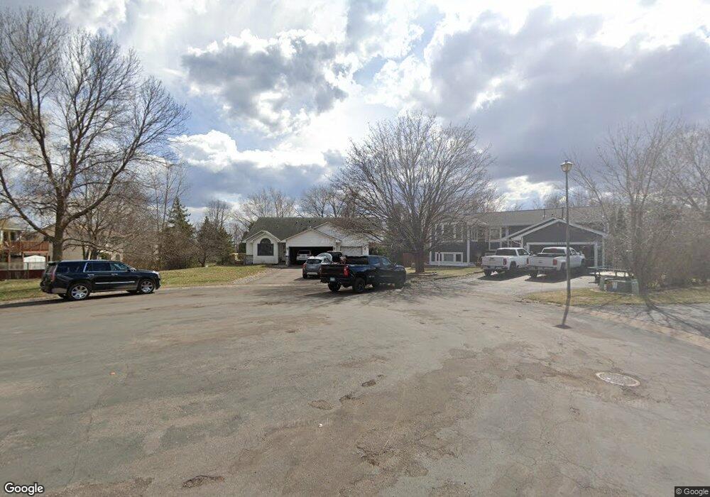
12160 Martin St NW Coon Rapids, MN 55448
Estimated Value: $378,000 - $511,000
6
Beds
3
Baths
2,144
Sq Ft
$216/Sq Ft
Est. Value
About This Home
This home is located at 12160 Martin St NW, Coon Rapids, MN 55448 and is currently estimated at $462,606, approximately $215 per square foot. 12160 Martin St NW is a home located in Anoka County with nearby schools including Lucile Bruner Elementary School, Hoover Elementary School, and Laughlin Junior/Senior High School.
Ownership History
Date
Name
Owned For
Owner Type
Purchase Details
Closed on
Oct 9, 2020
Sold by
Hassebroek Kristie Lea and Schmeltzer Kristie L
Bought by
Hassebroek Gary M
Current Estimated Value
Home Financials for this Owner
Home Financials are based on the most recent Mortgage that was taken out on this home.
Original Mortgage
$258,000
Interest Rate
2.71%
Mortgage Type
New Conventional
Create a Home Valuation Report for This Property
The Home Valuation Report is an in-depth analysis detailing your home's value as well as a comparison with similar homes in the area
Home Values in the Area
Average Home Value in this Area
Purchase History
| Date | Buyer | Sale Price | Title Company |
|---|---|---|---|
| Hassebroek Gary M | -- | Metro Title Services Inc |
Source: Public Records
Mortgage History
| Date | Status | Borrower | Loan Amount |
|---|---|---|---|
| Closed | Hassebroek Gary M | $258,000 |
Source: Public Records
Tax History Compared to Growth
Tax History
| Year | Tax Paid | Tax Assessment Tax Assessment Total Assessment is a certain percentage of the fair market value that is determined by local assessors to be the total taxable value of land and additions on the property. | Land | Improvement |
|---|---|---|---|---|
| 2025 | $5,503 | $444,700 | $89,900 | $354,800 |
| 2024 | $5,503 | $452,500 | $99,300 | $353,200 |
| 2023 | $4,462 | $446,500 | $85,700 | $360,800 |
| 2022 | $3,808 | $449,900 | $73,200 | $376,700 |
| 2021 | $3,792 | $343,100 | $58,400 | $284,700 |
| 2020 | $3,990 | $333,800 | $62,400 | $271,400 |
| 2019 | $3,736 | $335,800 | $66,300 | $269,500 |
| 2018 | $3,513 | $307,000 | $0 | $0 |
| 2017 | $2,945 | $281,300 | $0 | $0 |
| 2016 | $2,991 | $234,100 | $0 | $0 |
| 2015 | -- | $234,100 | $56,100 | $178,000 |
| 2014 | -- | $211,100 | $55,300 | $155,800 |
Source: Public Records
Map
Nearby Homes
- 1727 121st Ln NW
- 2068 124th Ln NW
- 12365 Jay St NW
- 2147 125th Ln NW
- 12010 Eagle St NW
- 12463 Drake St NW
- 1449 119th Ln NW
- 12554 Grouse St NW
- 1930 127th Cir NW
- 1660 Northdale Blvd NW
- 1593 126th Ln NW
- 12760 Raven St NW
- 11444 Hanson Blvd NW
- 12019 Zion St NW
- 11424 Hanson Blvd NW
- 1450 126th Ln NW
- 11350 Jay St NW
- 11409 Quinn St NW
- 11852 Yellow Pine St NW
- 12759 Ibis St NW
- 12168 Martin St NW
- 12128 Martin St NW
- 12114 Martin St NW
- 12100 Martin St NW
- 12165 Martin St NW
- 12157 Martin St NW
- 12149 Martin St NW
- 2000 121st Ln NW
- 12141 Martin St NW
- 12117 Martin St NW
- 12133 Martin St NW
- 12125 Martin St NW
- 12109 Martin St NW
- 12155 Osage St NW
- 12163 Osage St NW
- 2012 121st Ln NW
- 12101 Martin St NW
- 12171 Osage St NW
- 1924 122nd Ave NW
- 1938 122nd Ave NW