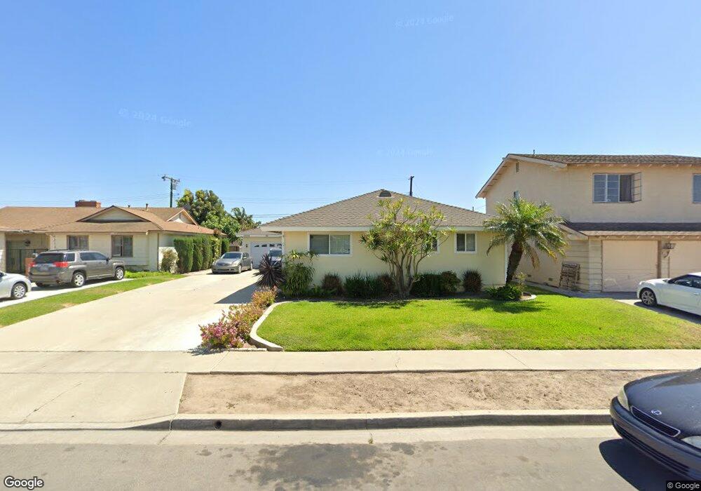
12162 Flint Cir Garden Grove, CA 92843
Estimated Value: $995,000 - $1,282,000
3
Beds
3
Baths
1,708
Sq Ft
$637/Sq Ft
Est. Value
About This Home
This home is located at 12162 Flint Cir, Garden Grove, CA 92843 and is currently estimated at $1,088,402, approximately $637 per square foot. 12162 Flint Cir is a home located in Orange County with nearby schools including Dwight D. Eisenhower Elementary School, Izaak Walton Intermediate School, and Santiago High School.
Ownership History
Date
Name
Owned For
Owner Type
Purchase Details
Closed on
Sep 5, 2025
Sold by
Rost Robert Kenneth and Rost Cristine Lucille
Bought by
Robert K Rost And Cristine L Rost Living Trus and Rost
Current Estimated Value
Purchase Details
Closed on
Feb 18, 1994
Sold by
Robinson Thompson P and Robinson Karen J
Bought by
Rost Robert Kenneth and Rost Cristine Lucille
Create a Home Valuation Report for This Property
The Home Valuation Report is an in-depth analysis detailing your home's value as well as a comparison with similar homes in the area
Home Values in the Area
Average Home Value in this Area
Purchase History
| Date | Buyer | Sale Price | Title Company |
|---|---|---|---|
| Robert K Rost And Cristine L Rost Living Trus | -- | None Listed On Document | |
| Rost Robert Kenneth | $177,000 | Gateway Title |
Source: Public Records
Tax History Compared to Growth
Tax History
| Year | Tax Paid | Tax Assessment Tax Assessment Total Assessment is a certain percentage of the fair market value that is determined by local assessors to be the total taxable value of land and additions on the property. | Land | Improvement |
|---|---|---|---|---|
| 2025 | $4,449 | $350,248 | $177,879 | $172,369 |
| 2024 | $4,449 | $343,381 | $174,391 | $168,990 |
| 2023 | $4,364 | $336,649 | $170,972 | $165,677 |
| 2022 | $4,266 | $330,049 | $167,620 | $162,429 |
| 2021 | $4,206 | $323,578 | $164,333 | $159,245 |
| 2020 | $4,083 | $314,283 | $162,648 | $151,635 |
| 2019 | $4,028 | $308,121 | $159,459 | $148,662 |
| 2018 | $3,930 | $302,080 | $156,332 | $145,748 |
| 2017 | $3,888 | $296,157 | $153,266 | $142,891 |
| 2016 | $3,697 | $290,350 | $150,260 | $140,090 |
| 2015 | $3,648 | $285,989 | $148,003 | $137,986 |
| 2014 | $3,563 | $280,387 | $145,103 | $135,284 |
Source: Public Records
Map
Nearby Homes
- 13111 Rainbow St
- 12342 Quartz Place
- 12152 Trask Ave Unit 29
- 13096 Blackbird St Unit 67
- 13096 Blackbird St Unit 164
- 13096 Blackbird St Unit 11
- 13096 Blackbird St Unit 82
- 12905 Palm St
- 13102 Partridge St Unit 7
- 13102 Partridge St Unit 54
- 12850 Palm St Unit 6
- 13052 Rockinghorse Rd
- 12842 Palm St Unit 108
- 12842 Palm St Unit 204
- 12842 Palm St Unit 301
- 12848 Timber Rd Unit 33
- 12681 Trask Ave
- 12812 Timber Rd Unit 22
- 12861 West St Unit 100
- 13431 Lilly St
- 12172 Flint Cir
- 12152 Flint Cir
- 13272 Rainbow St
- 12182 Flint Cir
- 13282 Rainbow St
- 12181 Pearce Ave
- 12161 Flint Cir
- 12192 Flint Cir
- 12171 Pearce Ave
- 12171 Flint Cir
- 13222 Rainbow St
- 12191 Pearce Ave
- 12181 Flint Cir
- 12121 Flagstone Ave
- 13241 Rainbow St
- 12161 Pearce Ave
- 13231 Rainbow St
- 12202 Flint Cir
- 12211 Pearce Ave
- 12191 Flint Cir