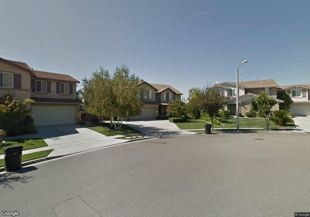
12167 Richifield Dr Rancho Cucamonga, CA 91739
Etiwanda NeighborhoodEstimated Value: $1,523,300 - $1,632,000
5
Beds
5
Baths
4,633
Sq Ft
$341/Sq Ft
Est. Value
About This Home
This home is located at 12167 Richifield Dr, Rancho Cucamonga, CA 91739 and is currently estimated at $1,578,325, approximately $340 per square foot. 12167 Richifield Dr is a home located in San Bernardino County with nearby schools including John L. Golden Elementary, Day Creek Intermediate, and Los Osos High.
Ownership History
Date
Name
Owned For
Owner Type
Purchase Details
Closed on
Aug 17, 2021
Sold by
Mathias David K and Mathias Georgina E
Bought by
Mathias David K and Mathias Georgina E
Current Estimated Value
Purchase Details
Closed on
Aug 18, 2017
Sold by
Sallis Robert E
Bought by
Mathias David K and Mathias Georgina E
Home Financials for this Owner
Home Financials are based on the most recent Mortgage that was taken out on this home.
Original Mortgage
$780,000
Outstanding Balance
$650,322
Interest Rate
3.93%
Mortgage Type
New Conventional
Estimated Equity
$928,003
Purchase Details
Closed on
Jul 1, 2003
Sold by
Rancho 2002 Llc
Bought by
Sallis Robert E and Sallis Kathryn M
Home Financials for this Owner
Home Financials are based on the most recent Mortgage that was taken out on this home.
Original Mortgage
$530,970
Interest Rate
5.37%
Mortgage Type
Purchase Money Mortgage
Create a Home Valuation Report for This Property
The Home Valuation Report is an in-depth analysis detailing your home's value as well as a comparison with similar homes in the area
Home Values in the Area
Average Home Value in this Area
Purchase History
| Date | Buyer | Sale Price | Title Company |
|---|---|---|---|
| Mathias David K | -- | None Available | |
| Mathias David K | $975,000 | Stewart Title | |
| Sallis Robert E | $664,000 | Fidelity |
Source: Public Records
Mortgage History
| Date | Status | Borrower | Loan Amount |
|---|---|---|---|
| Open | Mathias David K | $780,000 | |
| Previous Owner | Sallis Robert E | $530,970 | |
| Closed | Sallis Robert E | $65,000 |
Source: Public Records
Tax History
| Year | Tax Paid | Tax Assessment Tax Assessment Total Assessment is a certain percentage of the fair market value that is determined by local assessors to be the total taxable value of land and additions on the property. | Land | Improvement |
|---|---|---|---|---|
| 2025 | $15,885 | $1,109,384 | $392,551 | $716,833 |
| 2024 | $15,482 | $1,087,631 | $384,854 | $702,777 |
| 2023 | $15,121 | $1,066,305 | $377,308 | $688,997 |
| 2022 | $14,912 | $1,045,397 | $369,910 | $675,487 |
| 2021 | $14,660 | $1,024,899 | $362,657 | $662,242 |
| 2020 | $14,459 | $1,014,390 | $358,938 | $655,452 |
| 2019 | $14,093 | $994,500 | $351,900 | $642,600 |
| 2018 | $14,333 | $975,000 | $345,000 | $630,000 |
| 2017 | $13,377 | $855,211 | $203,276 | $651,935 |
| 2016 | $13,069 | $838,442 | $199,290 | $639,152 |
| 2015 | $12,964 | $825,847 | $196,296 | $629,551 |
| 2014 | $11,861 | $733,000 | $257,000 | $476,000 |
Source: Public Records
Map
Nearby Homes
- 12161 Split Rein Dr
- 5420 Duncaster Place
- 5531 San Carlos Ct
- 12184 Clydesdale Dr
- 5090 Juneau Ct
- 5675 W Overlook Dr
- 5060 Juneau Ct
- 12202 Canyon Meadows Dr
- 12732 Arena Dr
- 6248 Preakness Place
- 12210 Alamo Dr
- 12721 Mediterranean Dr
- 12798 N Rim Way
- 11888 White Mountain Ct
- 4991 Naples Way
- 12615 Encino Ct
- 5810 Etiwanda Ave
- 12498 High Horse Dr
- 6336 Taylor Canyon Place
- 12680 Encino Ct
- 12167 Richfield Dr
- 5572 Middlebury Ct
- 12164 Blackstone Dr
- 12177 Richifield Dr
- 5562 Middlebury Ct
- 12162 Blackstone Dr
- 5565 Middlebury Ct
- 5552 Middlebury Ct
- 12201 Richifield Dr
- 12200 Blackstone Dr
- 5553 Middlebury Ct
- 12163 Blackstone Dr
- 12173 Blackstone Dr
- 5564 Rutland Ct
- 5540 Middlebury Ct
- 12213 Richfield Dr
- 12213 Richifield Dr
- 12212 Blackstone Dr
- 5541 Middlebury Ct
- 12203 Blackstone Dr
Your Personal Tour Guide
Ask me questions while you tour the home.