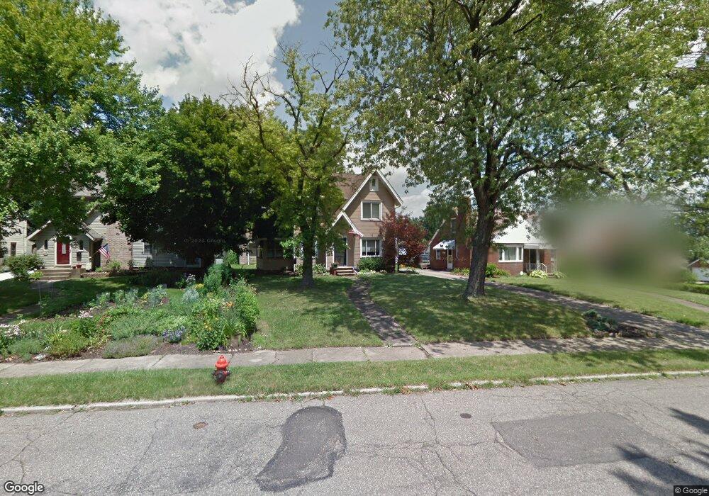
1217 22nd St NE Canton, OH 44714
Colonial Heights NeighborhoodEstimated Value: $151,000 - $218,815
3
Beds
3
Baths
1,601
Sq Ft
$119/Sq Ft
Est. Value
About This Home
This home is located at 1217 22nd St NE, Canton, OH 44714 and is currently estimated at $190,704, approximately $119 per square foot. 1217 22nd St NE is a home located in Stark County with nearby schools including Belle Stone Elementary School, Early Learning Center @ Schreiber, and Youtz Intermediate School.
Ownership History
Date
Name
Owned For
Owner Type
Purchase Details
Closed on
Jan 15, 2018
Sold by
Schmoopy Llc
Bought by
Leon Jeffrey B
Current Estimated Value
Purchase Details
Closed on
May 30, 2014
Sold by
Leon Jeffrey B and Leon Linda J
Bought by
Schmoopy Llc
Purchase Details
Closed on
Jun 14, 1999
Sold by
Peterson Timothy J and Peterson Deborah A
Bought by
Leon Jeffrey B and Leon Linda J
Home Financials for this Owner
Home Financials are based on the most recent Mortgage that was taken out on this home.
Original Mortgage
$81,700
Interest Rate
6.99%
Mortgage Type
Purchase Money Mortgage
Purchase Details
Closed on
Aug 28, 1991
Create a Home Valuation Report for This Property
The Home Valuation Report is an in-depth analysis detailing your home's value as well as a comparison with similar homes in the area
Home Values in the Area
Average Home Value in this Area
Purchase History
| Date | Buyer | Sale Price | Title Company |
|---|---|---|---|
| Leon Jeffrey B | -- | None Available | |
| Schmoopy Llc | -- | None Available | |
| Leon Jeffrey B | $86,000 | -- | |
| -- | $62,500 | -- |
Source: Public Records
Mortgage History
| Date | Status | Borrower | Loan Amount |
|---|---|---|---|
| Previous Owner | Leon Jeffrey B | $81,700 |
Source: Public Records
Tax History Compared to Growth
Tax History
| Year | Tax Paid | Tax Assessment Tax Assessment Total Assessment is a certain percentage of the fair market value that is determined by local assessors to be the total taxable value of land and additions on the property. | Land | Improvement |
|---|---|---|---|---|
| 2025 | $184 | $78,550 | $12,710 | $65,840 |
| 2024 | -- | $78,550 | $12,710 | $65,840 |
| 2023 | $7,698 | $38,360 | $8,190 | $30,170 |
| 2022 | $2,226 | $38,360 | $8,190 | $30,170 |
| 2021 | $2,250 | $38,360 | $8,190 | $30,170 |
| 2020 | $1,963 | $29,960 | $6,580 | $23,380 |
| 2019 | $1,713 | $29,970 | $6,580 | $23,390 |
| 2018 | $1,768 | $29,970 | $6,580 | $23,390 |
| 2017 | $1,833 | $28,290 | $6,230 | $22,060 |
| 2016 | $1,839 | $28,290 | $6,230 | $22,060 |
| 2015 | $1,851 | $28,290 | $6,230 | $22,060 |
| 2014 | $48 | $30,180 | $6,650 | $23,530 |
| 2013 | $984 | $30,180 | $6,650 | $23,530 |
Source: Public Records
Map
Nearby Homes
- 2219 Rowland Ave NE
- 1220 25th St NE
- 0 Rowland Ave NE Unit 5089960
- 1513 22nd St NE
- 908 22nd St NE
- 1321 Warrick Place NE
- 2510 Gross Ave NE
- 1115 Colonial Blvd NE
- 918 19th St NE
- 2315 Maple Ave NE
- 1202 28th St NE
- 1734 Rowland Ave NE
- 1126 18th St NE
- 2310 Maple Ave NE
- 2100 Maple Ave NE
- 0 Dover Ave NE
- 1607 18th St NE
- 000 Rowland Ave NE
- 1638 Warrick Place NE
- 1219 17th St NE
- 1213 22nd St NE
- 1223 22nd St NE
- 1229 22nd St NE
- 1201 22nd St NE
- 2225 Rowland Ave NE
- 2205 Rowland Ave NE
- 2303 Rowland Ave NE
- 1127 22nd St NE
- 1212 24th St NE
- 0000 Rowland Ave NE
- 1206 24th St NE
- 1212 22nd St NE
- 1206 22nd St NE
- 1202 24th St NE
- 1302 23rd St NE
- 1202 22nd St NE
- 2208 Rowland Ave NE
- 1230 22nd St NE
- 1121 22nd St NE
- 1224 24th St NE