1217 Brentwood Pointe Unit 1217 Brentwood, TN 37027
Berrys Chapel NeighborhoodEstimated Value: $382,354 - $472,000
3
Beds
3
Baths
1,449
Sq Ft
$300/Sq Ft
Est. Value
About This Home
This home is located at 1217 Brentwood Pointe Unit 1217, Brentwood, TN 37027 and is currently estimated at $434,589, approximately $299 per square foot. 1217 Brentwood Pointe Unit 1217 is a home located in Williamson County with nearby schools including Johnson Elementary School, Freedom Intermediate School, and Freedom Middle School.
Ownership History
Date
Name
Owned For
Owner Type
Purchase Details
Closed on
May 28, 2013
Sold by
Page Martha W
Bought by
Mackrell Charis
Current Estimated Value
Home Financials for this Owner
Home Financials are based on the most recent Mortgage that was taken out on this home.
Original Mortgage
$148,000
Outstanding Balance
$104,950
Interest Rate
3.42%
Mortgage Type
New Conventional
Estimated Equity
$329,639
Purchase Details
Closed on
Nov 5, 2003
Sold by
Turner Martha C and Gaunce Martha Turner
Bought by
Page Martha W
Home Financials for this Owner
Home Financials are based on the most recent Mortgage that was taken out on this home.
Original Mortgage
$124,062
Interest Rate
6%
Mortgage Type
Purchase Money Mortgage
Create a Home Valuation Report for This Property
The Home Valuation Report is an in-depth analysis detailing your home's value as well as a comparison with similar homes in the area
Home Values in the Area
Average Home Value in this Area
Purchase History
| Date | Buyer | Sale Price | Title Company |
|---|---|---|---|
| Mackrell Charis | $185,000 | Bridgehouse Title | |
| Page Martha W | $138,000 | -- |
Source: Public Records
Mortgage History
| Date | Status | Borrower | Loan Amount |
|---|---|---|---|
| Open | Mackrell Charis | $148,000 | |
| Previous Owner | Page Martha W | $124,062 |
Source: Public Records
Tax History Compared to Growth
Tax History
| Year | Tax Paid | Tax Assessment Tax Assessment Total Assessment is a certain percentage of the fair market value that is determined by local assessors to be the total taxable value of land and additions on the property. | Land | Improvement |
|---|---|---|---|---|
| 2024 | $1,900 | $67,100 | $16,250 | $50,850 |
| 2023 | $1,826 | $67,100 | $16,250 | $50,850 |
| 2022 | $1,826 | $67,100 | $16,250 | $50,850 |
| 2021 | $1,826 | $67,100 | $16,250 | $50,850 |
| 2020 | $1,616 | $50,100 | $12,000 | $38,100 |
| 2019 | $1,616 | $50,100 | $12,000 | $38,100 |
| 2018 | $1,581 | $50,100 | $12,000 | $38,100 |
| 2017 | $1,556 | $50,100 | $12,000 | $38,100 |
| 2016 | $0 | $50,100 | $12,000 | $38,100 |
| 2015 | -- | $44,300 | $11,250 | $33,050 |
| 2014 | -- | $44,300 | $11,250 | $33,050 |
Source: Public Records
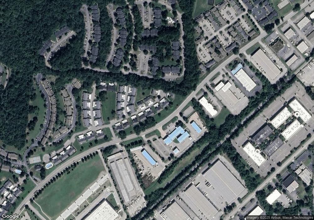
Map
Nearby Homes
- 1612 Brentwood Pointe
- 921 Brentwood Point
- 1833 Brentwood Pointe
- 1815 Brentwood Pointe
- 9008 Sunrise Cir
- 1526 Brentwood Pointe Unit 1526
- 1145 Brentwood Point Unit 1145
- 8009 Sunrise Cir Unit 8009
- 1123 Brentwood Point Unit 1123
- 8008 Sunrise Cir Unit 8008
- 6041 Sunrise Cir Unit 6041
- 6018 Sunrise Cir Unit 6018
- 540 Franklin Rd
- 509 Elk Hollow Ct
- 7024 Moores Ln
- 302 Flowerwood Ct Unit 3A
- 517 Franklin Rd
- 1604 Rosewood Ct Unit 3
- 129 E Hill St
- 121 E Hill St
- 1214 Brentwood Pointe
- 1242 Brentwood Point Unit 1242
- 1240 Brentwood Point Unit 1240
- 1239 Brentwood Point
- 1229 Brentwood Point
- 1229 Brentwood Point
- 1230 Brentwood Point Unit 1230
- 1238 Brentwood Point
- 1210 Brentwood Point Unit 1210
- 1209 Brentwood Point Unit 1209
- 1209 Brentwood Point Unit 1209
- 1207 Brentwood Point Unit 1207
- 1211 Brentwood Point Unit 1211
- 1211 Brentwood Point
- 1231 Brentwood Pointe
- 1231 Brentwood Point Unit 1231
- 1231 Brentwood Pointe Unit 1231
- 1208 Brentwood Point Unit 1208
- 1237 Brentwood Point Unit 1237
- 1228 Brentwood Point