Estimated Value: $14,000 - $193,000
4
Beds
1
Bath
1,348
Sq Ft
$51/Sq Ft
Est. Value
About This Home
This home is located at 1217 Colorado Ave, Logan, OH 43138 and is currently estimated at $69,089, approximately $51 per square foot. 1217 Colorado Ave is a home located in Hocking County with nearby schools including Central Elementary School, St. John the Evangelist School, and Logan Christian School.
Ownership History
Date
Name
Owned For
Owner Type
Purchase Details
Closed on
Apr 25, 2025
Sold by
1St Class Properties Llc
Bought by
Habitat For Humanity Of Southeast Ohio
Current Estimated Value
Purchase Details
Closed on
Nov 26, 2024
Sold by
Smith Teresa L
Bought by
1St Class Properties Llc
Create a Home Valuation Report for This Property
The Home Valuation Report is an in-depth analysis detailing your home's value as well as a comparison with similar homes in the area
Home Values in the Area
Average Home Value in this Area
Purchase History
| Date | Buyer | Sale Price | Title Company |
|---|---|---|---|
| Habitat For Humanity Of Southeast Ohio | $15,000 | None Listed On Document | |
| Habitat For Humanity Of Southeast Ohio | $15,000 | None Listed On Document | |
| 1St Class Properties Llc | $8,000 | None Listed On Document | |
| 1St Class Properties Llc | $8,000 | None Listed On Document | |
| 1St Class Properties Llc | $8,000 | None Listed On Document |
Source: Public Records
Tax History Compared to Growth
Tax History
| Year | Tax Paid | Tax Assessment Tax Assessment Total Assessment is a certain percentage of the fair market value that is determined by local assessors to be the total taxable value of land and additions on the property. | Land | Improvement |
|---|---|---|---|---|
| 2024 | $350 | $8,680 | $7,700 | $980 |
| 2023 | $350 | $21,230 | $7,700 | $13,530 |
| 2022 | $858 | $21,230 | $7,700 | $13,530 |
| 2021 | $681 | $15,610 | $5,250 | $10,360 |
| 2020 | $681 | $15,610 | $5,250 | $10,360 |
| 2019 | $681 | $15,610 | $5,250 | $10,360 |
| 2018 | $640 | $14,910 | $4,550 | $10,360 |
| 2017 | $603 | $14,910 | $4,550 | $10,360 |
| 2016 | $599 | $14,910 | $4,550 | $10,360 |
| 2015 | $637 | $15,260 | $4,550 | $10,710 |
| 2014 | $637 | $15,260 | $4,550 | $10,710 |
| 2013 | $639 | $15,260 | $4,550 | $10,710 |
Source: Public Records
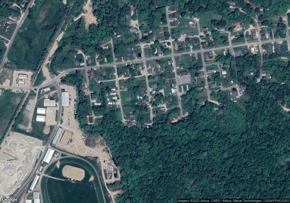
Map
Nearby Homes
- 1353 Colorado Ave
- 1138 Ohio Ave
- 1368 Indiana Ave
- 165 N Homer Ave
- 714 E 2nd St
- 598 E Main St
- 586 E Main St
- 571 E Main St
- 565 E Main St
- 156 Zanesville Ave
- 288 Walnut Dr
- 1300 Dannie Dr
- 582 N Walnut St
- 424 N Walnut St
- 687 N Walnut St
- 862 Walnut Dowler Rd
- State Route 328
- 578 N Market St
- 0 Clay Bank Rd
- 104 North St
- 1243 Colorado Ave
- 1179 Colorado Ave
- 1206 Colorado Ave
- 1216 Colorado Ave
- 1194 Utah Ave
- 1248 Utah Ave
- 1234 Colorado Ave
- 1178 Utah Ave
- 0 Utah Ave
- 1240 Colorado Ave
- 1165 Colorado Ave
- 1256 Colorado Ave
- 1264 Utah Ave
- 1233 Utah Ave
- 1239 Kansas Ave
- 1249 Kansas Ave
- 1041 Ohio Ave
- 1029 Ohio Ave
- 1255 Utah Ave
- 1179 Kansas Ave