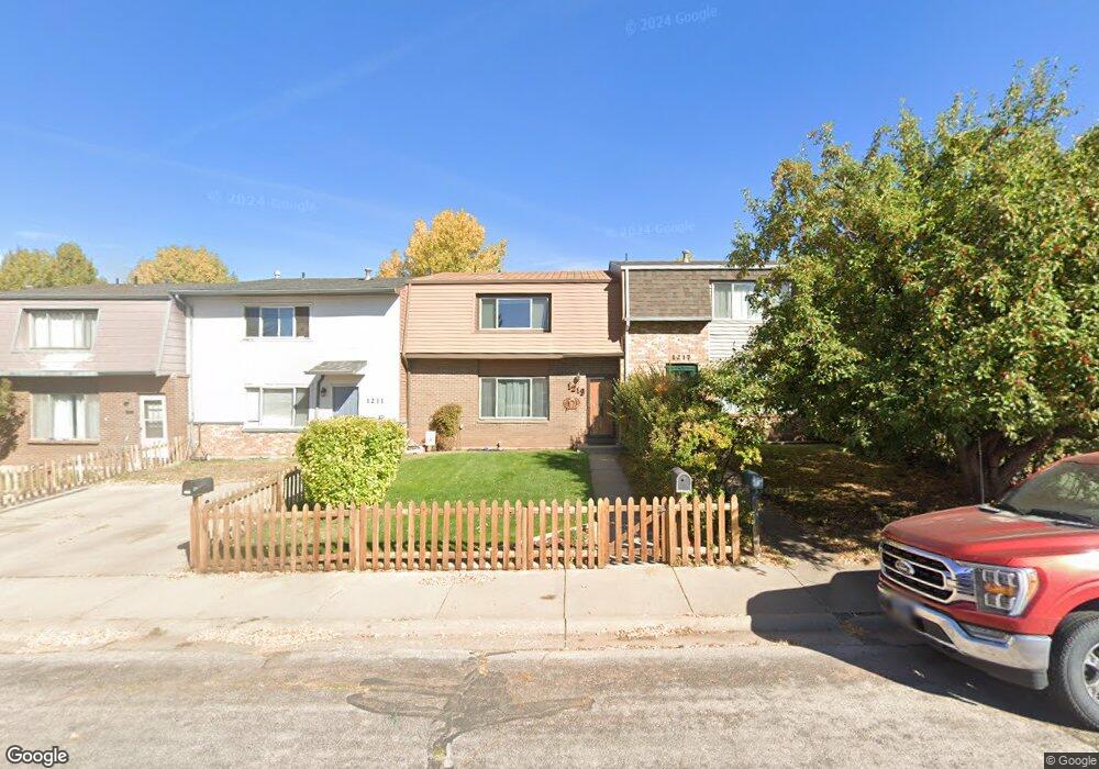
1217 Downey St Laramie, WY 82072
Estimated Value: $234,014 - $292,000
3
Beds
2
Baths
1,728
Sq Ft
$152/Sq Ft
Est. Value
About This Home
This home is located at 1217 Downey St, Laramie, WY 82072 and is currently estimated at $263,007, approximately $152 per square foot. 1217 Downey St is a home located in Albany County with nearby schools including Slade Elementary School, Laramie Middle School, and Laramie High School.
Ownership History
Date
Name
Owned For
Owner Type
Purchase Details
Closed on
Apr 20, 2021
Sold by
Branson Andrew R
Bought by
Austin Russell W and Austin Kathleen J
Current Estimated Value
Home Financials for this Owner
Home Financials are based on the most recent Mortgage that was taken out on this home.
Original Mortgage
$162,000
Outstanding Balance
$146,383
Interest Rate
3.05%
Mortgage Type
New Conventional
Estimated Equity
$116,624
Purchase Details
Closed on
Feb 1, 2006
Sold by
Belin Gwen A and Jares Janet L
Bought by
Branson Andrew R
Home Financials for this Owner
Home Financials are based on the most recent Mortgage that was taken out on this home.
Original Mortgage
$124,500
Interest Rate
6.24%
Mortgage Type
Commercial
Create a Home Valuation Report for This Property
The Home Valuation Report is an in-depth analysis detailing your home's value as well as a comparison with similar homes in the area
Home Values in the Area
Average Home Value in this Area
Purchase History
| Date | Buyer | Sale Price | Title Company |
|---|---|---|---|
| Austin Russell W | -- | First American Title | |
| Branson Andrew R | -- | -- |
Source: Public Records
Mortgage History
| Date | Status | Borrower | Loan Amount |
|---|---|---|---|
| Open | Austin Russell W | $162,000 | |
| Previous Owner | Branson Andrew R | $124,500 |
Source: Public Records
Tax History Compared to Growth
Tax History
| Year | Tax Paid | Tax Assessment Tax Assessment Total Assessment is a certain percentage of the fair market value that is determined by local assessors to be the total taxable value of land and additions on the property. | Land | Improvement |
|---|---|---|---|---|
| 2021 | $1,166 | $18,971 | $2,153 | $16,818 |
| 2020 | $947 | $15,971 | $2,040 | $13,931 |
| 2019 | $1,109 | $15,187 | $1,201 | $13,986 |
| 2018 | $826 | $14,321 | $1,201 | $13,120 |
| 2017 | $772 | $13,572 | $1,201 | $12,371 |
| 2016 | $863 | $14,818 | $1,201 | $13,617 |
| 2015 | $1,020 | $13,978 | $1,290 | $12,688 |
| 2014 | $765 | $13,484 | $0 | $0 |
Source: Public Records
Map
Nearby Homes
- 1320 Beaufort St
- 1402 Mitchell St
- 1725 E Beaufort St
- 1520 W Hill Rd
- 2167 N 16th St
- 721 Mill St
- 716 Mitchell St
- 1515 Beaufort St
- 727 Beaufort St
- 2458 N 9th St Unit B22
- 2458 N 9th St Unit B 61
- 535 Mitchell St Unit C-5
- 1675 N 6th St Unit 1
- 1257 N 15th St Unit H
- 1259 N 15th St Unit G
- 1251 N 15th St Unit J
- 507 Mitchell St Unit J-6
- 517 Reynolds St
- 1215 E Baker St
- 530 Beaufort St Unit 135
- 1213 Downey St
- 1219 Downey St
- 1221 Downey St
- 1211 Downey St
- 1223 Downey St
- 1207 Downey St
- 1225 Downey St
- 1205 Downey St
- 1227 Downey St
- 1201 Downey St
- 1214 Renshaw St
- 1121 Downey St
- 1202 Renshaw St
- 1229 Downey St
- 1208 Renshaw St
- 1222 Downey St
- 1119 Downey St
- 1964 N 13th St Unit A
- 1964 N 13th St
- 1122 Renshaw St