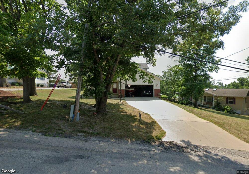
1217 Hillside Dr NW Cedar Rapids, IA 52405
Estimated Value: $286,000 - $313,000
3
Beds
3
Baths
1,852
Sq Ft
$161/Sq Ft
Est. Value
About This Home
This home is located at 1217 Hillside Dr NW, Cedar Rapids, IA 52405 and is currently estimated at $297,690, approximately $160 per square foot. 1217 Hillside Dr NW is a home located in Linn County with nearby schools including Kentucky Tech - Ashland Reg Tech Center, Ponderosa Elementary School, and Madison Elementary School.
Ownership History
Date
Name
Owned For
Owner Type
Purchase Details
Closed on
May 18, 2011
Sold by
Lenhardt Paul A
Bought by
Straub Steve A and Straub Stacey L
Current Estimated Value
Home Financials for this Owner
Home Financials are based on the most recent Mortgage that was taken out on this home.
Original Mortgage
$164,350
Outstanding Balance
$114,373
Interest Rate
4.91%
Mortgage Type
New Conventional
Estimated Equity
$183,317
Purchase Details
Closed on
Feb 14, 2007
Sold by
Foster Daniel W and Foster Catherine L
Bought by
Lenhardt Paul A
Home Financials for this Owner
Home Financials are based on the most recent Mortgage that was taken out on this home.
Original Mortgage
$178,900
Interest Rate
6.4%
Mortgage Type
Purchase Money Mortgage
Purchase Details
Closed on
Jan 12, 2000
Sold by
Littrell Martin W and Littrell Susann R
Bought by
West Leonard M and West Kay F
Create a Home Valuation Report for This Property
The Home Valuation Report is an in-depth analysis detailing your home's value as well as a comparison with similar homes in the area
Home Values in the Area
Average Home Value in this Area
Purchase History
| Date | Buyer | Sale Price | Title Company |
|---|---|---|---|
| Straub Steve A | $172,500 | None Available | |
| Lenhardt Paul A | $178,500 | None Available | |
| West Leonard M | -- | -- |
Source: Public Records
Mortgage History
| Date | Status | Borrower | Loan Amount |
|---|---|---|---|
| Open | Straub Steve A | $164,350 | |
| Previous Owner | Lenhardt Paul A | $178,900 |
Source: Public Records
Tax History Compared to Growth
Tax History
| Year | Tax Paid | Tax Assessment Tax Assessment Total Assessment is a certain percentage of the fair market value that is determined by local assessors to be the total taxable value of land and additions on the property. | Land | Improvement |
|---|---|---|---|---|
| 2025 | $4,546 | $296,900 | $44,000 | $252,900 |
| 2024 | $4,736 | $285,600 | $35,600 | $250,000 |
| 2023 | $4,736 | $267,400 | $35,600 | $231,800 |
| 2022 | $4,250 | $233,400 | $29,300 | $204,100 |
| 2021 | $4,532 | $214,100 | $29,300 | $184,800 |
| 2020 | $4,532 | $214,000 | $29,300 | $184,700 |
| 2019 | $4,180 | $202,400 | $29,300 | $173,100 |
| 2018 | $4,060 | $202,400 | $29,300 | $173,100 |
| 2017 | $4,288 | $205,400 | $29,300 | $176,100 |
| 2016 | $4,084 | $192,100 | $29,300 | $162,800 |
| 2015 | $3,776 | $177,461 | $29,307 | $148,154 |
| 2014 | $3,776 | $177,461 | $29,307 | $148,154 |
| 2013 | $3,696 | $177,461 | $29,307 | $148,154 |
Source: Public Records
Map
Nearby Homes
- 1322 Woodside Dr NW
- 3313 Crestwood Dr NW
- 912 29th St NW
- 2623 Iris Ave NW
- 2825 Schultz Dr NW
- 3312 G Ave NW
- 2801 Schultz Dr NW
- 623 27th St NW
- 615 27th St NW
- 949 Westwood Dr NW
- 1613 Southview Dr NW
- 1410 Adair Ct SW Unit Lot 2
- 2520 N Ave NW
- 327* Edgewood Rd NW
- 425 28th St NW
- 3507 E Ave NW Unit F
- 3509 E Ave NW Unit D
- 451 23rd St NW
- 1733 Hillside Dr NW
- 327 NW Edgewood Rd Unit 324, 330, 336, 342 C
- 1207 Hillside Dr NW
- 1227 Hillside Dr NW
- 2925 Westwood Dr NW
- 1125 Hillside Dr NW
- 2939 Westwood Dr NW
- 1210 Hillside Dr NW
- 2933 Westwood Dr NW
- 1124 Hillside Dr NW
- 1202 Hillside Dr NW
- 2917 Westwood Dr NW
- 3101 Westwood Dr NW
- 1115 Hillside Dr NW
- 2911 Westwood Dr NW
- 3006 Westwood Dr NW
- 3002 Westwood Dr NW
- 2901 Westwood Dr NW
- 2930 Westwood Dr NW
- 3100 Westwood Dr NW
- 3115 Westwood Dr NW
- 3000 Waveland Dr NW