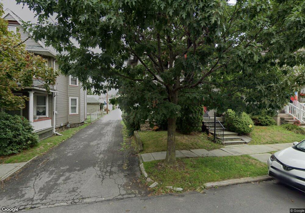
1217 Myrtle St Scranton, PA 18510
Hill Section NeighborhoodEstimated Value: $122,713 - $250,000
4
Beds
2
Baths
1,732
Sq Ft
$122/Sq Ft
Est. Value
About This Home
This home is located at 1217 Myrtle St, Scranton, PA 18510 and is currently estimated at $211,178, approximately $121 per square foot. 1217 Myrtle St is a home located in Lackawanna County with nearby schools including William Prescott School, Northeast Scranton Intermediate School, and Scranton High School.
Ownership History
Date
Name
Owned For
Owner Type
Purchase Details
Closed on
Dec 11, 2008
Sold by
Tellie Carole M
Bought by
Davenport Barbara A
Current Estimated Value
Home Financials for this Owner
Home Financials are based on the most recent Mortgage that was taken out on this home.
Original Mortgage
$95,000
Outstanding Balance
$61,334
Interest Rate
6.17%
Mortgage Type
New Conventional
Estimated Equity
$149,844
Create a Home Valuation Report for This Property
The Home Valuation Report is an in-depth analysis detailing your home's value as well as a comparison with similar homes in the area
Home Values in the Area
Average Home Value in this Area
Purchase History
| Date | Buyer | Sale Price | Title Company |
|---|---|---|---|
| Davenport Barbara A | $125,000 | Keystone Abst Serv Inc Scran |
Source: Public Records
Mortgage History
| Date | Status | Borrower | Loan Amount |
|---|---|---|---|
| Open | Davenport Barbara A | $95,000 |
Source: Public Records
Tax History
| Year | Tax Paid | Tax Assessment Tax Assessment Total Assessment is a certain percentage of the fair market value that is determined by local assessors to be the total taxable value of land and additions on the property. | Land | Improvement |
|---|---|---|---|---|
| 2025 | $4,179 | $13,000 | $2,050 | $10,950 |
| 2024 | $3,819 | $13,000 | $2,050 | $10,950 |
| 2023 | $3,819 | $13,000 | $2,050 | $10,950 |
| 2022 | $3,734 | $13,000 | $2,050 | $10,950 |
| 2021 | $3,734 | $13,000 | $2,050 | $10,950 |
| 2020 | $3,665 | $13,000 | $2,050 | $10,950 |
| 2019 | $3,447 | $13,000 | $2,050 | $10,950 |
| 2018 | $3,447 | $13,000 | $2,050 | $10,950 |
| 2017 | $3,386 | $13,000 | $2,050 | $10,950 |
| 2016 | $1,030 | $13,000 | $2,050 | $10,950 |
| 2015 | $2,212 | $13,000 | $2,050 | $10,950 |
| 2014 | -- | $13,000 | $2,050 | $10,950 |
Source: Public Records
Map
Nearby Homes
- 917 Taylor Ave
- 1018 N Webster Ave
- 1406 Ash St
- 1028 N Webster Ave
- 825 827 Quincy Ave Unit 825-827
- 718 Taylor Ave
- 929 Ridge Ave
- 1014 1016 Quincy Ave
- 1017 Prescott Ave
- 723-725 Prescott Ave
- 1017 Quincy Ave
- 1050 Prescott Ave
- 829 Monroe Ave
- 1105 Quincy Ave
- 900 Wheeler Ave
- 7 Oakwood Place
- 802 Madison Ave
- 819 Poplar St
- 550 Clay Ave Unit 8C
- 817 Madison Ave
- 1219 Myrtle St
- 1215 Myrtle St
- 1213 Myrtle St
- 901 Taylor Ave
- 911 Taylor Ave
- 907 Taylor Ave
- 1216 Myrtle St
- 1218 Myrtle St
- 913 Taylor Ave
- 1214 Myrtle St
- 902 N Webster Ave
- 912 N Webster Ave
- 841 Taylor Ave
- 908 N Webster Ave
- 1212 Myrtle St
- 914 N Webster Ave
- 837 Taylor Ave Unit 839
- 916 N Webster Ave
- 835 Taylor Ave
- 919 Taylor Ave
Your Personal Tour Guide
Ask me questions while you tour the home.