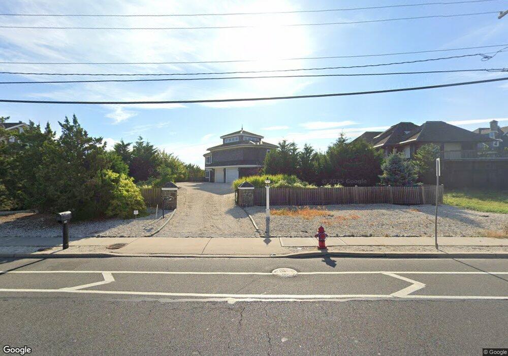
1217 Ocean Ave Mantoloking, NJ 08738
Estimated Value: $4,835,000 - $6,998,000
4
Beds
5
Baths
3,704
Sq Ft
$1,600/Sq Ft
Est. Value
About This Home
This home is located at 1217 Ocean Ave, Mantoloking, NJ 08738 and is currently estimated at $5,926,969, approximately $1,600 per square foot. 1217 Ocean Ave is a home located in Ocean County with nearby schools including G Harold Antrim Elementary School, Point Pleasant Beach High School, and St. Peter School.
Ownership History
Date
Name
Owned For
Owner Type
Purchase Details
Closed on
Dec 2, 2004
Sold by
Lester Maxwell and Lester Mary P
Bought by
Hartzband Mark A and Hartzband Lisa
Current Estimated Value
Home Financials for this Owner
Home Financials are based on the most recent Mortgage that was taken out on this home.
Original Mortgage
$1,500,000
Interest Rate
5.24%
Mortgage Type
Fannie Mae Freddie Mac
Create a Home Valuation Report for This Property
The Home Valuation Report is an in-depth analysis detailing your home's value as well as a comparison with similar homes in the area
Home Values in the Area
Average Home Value in this Area
Purchase History
| Date | Buyer | Sale Price | Title Company |
|---|---|---|---|
| Hartzband Mark A | $3,500,000 | -- |
Source: Public Records
Mortgage History
| Date | Status | Borrower | Loan Amount |
|---|---|---|---|
| Closed | Hartzband Mark A | $1,500,000 | |
| Closed | Hartzband Mark A | $1,250,000 |
Source: Public Records
Tax History Compared to Growth
Tax History
| Year | Tax Paid | Tax Assessment Tax Assessment Total Assessment is a certain percentage of the fair market value that is determined by local assessors to be the total taxable value of land and additions on the property. | Land | Improvement |
|---|---|---|---|---|
| 2025 | $41,741 | $4,864,900 | $2,945,300 | $1,919,600 |
| 2024 | $39,660 | $4,864,900 | $2,945,300 | $1,919,600 |
| 2023 | $34,030 | $4,860,300 | $2,945,300 | $1,915,000 |
| 2022 | $34,030 | $4,861,400 | $2,945,300 | $1,916,100 |
| 2021 | $34,224 | $4,861,400 | $2,945,300 | $1,916,100 |
| 2020 | $34,613 | $4,861,400 | $2,945,300 | $1,916,100 |
| 2019 | $26,358 | $3,754,700 | $2,945,300 | $809,400 |
| 2018 | $25,983 | $3,754,700 | $2,945,300 | $809,400 |
| 2017 | $26,170 | $3,754,700 | $2,945,300 | $809,400 |
| 2016 | $22,447 | $3,234,400 | $2,945,300 | $289,100 |
| 2015 | $21,252 | $3,111,500 | $2,945,300 | $166,200 |
| 2014 | $19,509 | $3,111,500 | $2,945,300 | $166,200 |
Source: Public Records
Map
Nearby Homes
- 1207 Ocean Ave
- 1201 Ocean Ave
- 1318 Ocean Ave
- 1097 Barnegat Ln
- 1063 Ocean Ave
- 1519 Runyon Ln
- 1027 Ocean Ave
- 122 Squan Beach Dr
- 233 Curtis Point Dr
- 982 Barnegat Ln
- 978 East Ave
- 150 Sunset Ln
- 954 Barnegat Ln
- 275 Curtis Point Dr
- 940 Barnegat Ln
- 920 East Ave
- 304 Schooner Ln
- 829 East Ave
- 53 Driftwood Dr
- 47 Nina Ct
- 1215 Ocean Ave
- 1221 Ocean Ave
- 1211 Ocean Ave
- 1225 Ocean Ave
- 1229 Ocean Ave
- 1212 Ocean Ave
- 1220 Ocean Ave
- 1208 Ocean Ave
- 1224 Ocean Ave
- 0 Route 35 Unit 21847686
- 0 Route 35 Unit 21842377
- 0 Route 35 Unit 21510502
- 0 Route 35 Unit 21342184
- 131 Route 35
- 1235 Ocean Ave
- 1228 Ocean Ave
- 1204 Ocean Ave
- 1200 Ocean Ave
- 1215 Bay Ave
- 1219 Bay Ave