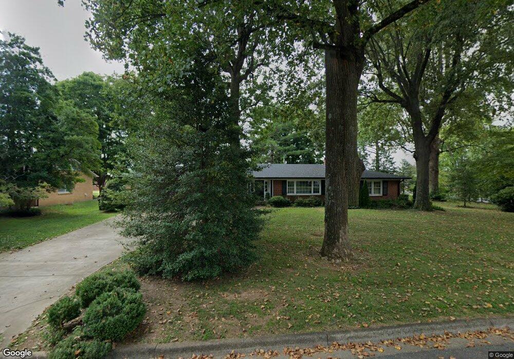
1217 Poplar Dr Lawrenceburg, TN 38464
Estimated Value: $254,407 - $349,000
--
Bed
3
Baths
2,171
Sq Ft
$140/Sq Ft
Est. Value
About This Home
This home is located at 1217 Poplar Dr, Lawrenceburg, TN 38464 and is currently estimated at $303,852, approximately $139 per square foot. 1217 Poplar Dr is a home located in Lawrence County with nearby schools including Ingram Sowell Elementary School, Lawrenceburg Public Elementary School, and David Crockett Elementary School.
Ownership History
Date
Name
Owned For
Owner Type
Purchase Details
Closed on
Aug 21, 2013
Sold by
Winston Properties Inc
Bought by
Shaw Jan
Current Estimated Value
Purchase Details
Closed on
Dec 17, 2012
Sold by
Kerstiens Edward B Revocab
Bought by
Winston Properties Inc
Purchase Details
Closed on
Aug 24, 2005
Bought by
Kerstiens Edward B Rev Liv Trst and Kerstiens Bernadine B
Purchase Details
Closed on
Sep 22, 1958
Bought by
Kerstein Edward and Kerstein Bernadine
Create a Home Valuation Report for This Property
The Home Valuation Report is an in-depth analysis detailing your home's value as well as a comparison with similar homes in the area
Home Values in the Area
Average Home Value in this Area
Purchase History
| Date | Buyer | Sale Price | Title Company |
|---|---|---|---|
| Shaw Jan | -- | -- | |
| Winston Properties Inc | $125,000 | -- | |
| Kerstiens Edward B Rev Liv Trst | -- | -- | |
| Kerstein Edward | -- | -- |
Source: Public Records
Tax History Compared to Growth
Tax History
| Year | Tax Paid | Tax Assessment Tax Assessment Total Assessment is a certain percentage of the fair market value that is determined by local assessors to be the total taxable value of land and additions on the property. | Land | Improvement |
|---|---|---|---|---|
| 2025 | $1,773 | $57,050 | $0 | $0 |
| 2024 | $1,773 | $57,050 | $5,000 | $52,050 |
| 2023 | $1,773 | $57,050 | $5,000 | $52,050 |
| 2022 | $1,773 | $57,050 | $5,000 | $52,050 |
| 2021 | $1,282 | $29,175 | $2,500 | $26,675 |
| 2020 | $1,282 | $29,175 | $2,500 | $26,675 |
| 2019 | $1,282 | $29,175 | $2,500 | $26,675 |
| 2018 | $1,282 | $29,175 | $2,500 | $26,675 |
| 2017 | $1,282 | $29,175 | $2,500 | $26,675 |
| 2016 | $1,282 | $29,175 | $2,500 | $26,675 |
| 2015 | $1,214 | $29,175 | $2,500 | $26,675 |
| 2014 | $1,225 | $29,425 | $2,500 | $26,925 |
Source: Public Records
Map
Nearby Homes
- 309 Ellingson St
- 1215 Poplar Dr
- 1221 Poplar Dr
- 310 Ellingson St
- 1213 Poplar Dr
- 1218 Poplar Dr
- 308 Ellingson St
- 1214 Poplar Dr
- 1220 Poplar Dr
- 306 Ellingson St
- 1211 Poplar Dr
- 321 Weakley Creek Rd
- 304 Ellingson St
- 319 Weakley Creek Rd
- 1210 Poplar Dr
- 325 Weakley Creek Rd
- 1209 Poplar Dr
- 1208 Poplar Dr
- 1207 Poplar Dr
- 1238 1st Ave