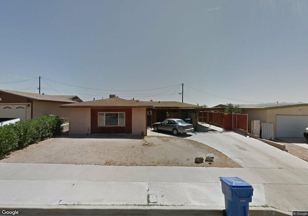
1217 Roberta Ct Barstow, CA 92311
Estimated Value: $330,348 - $463,000
3
Beds
3
Baths
2,393
Sq Ft
$155/Sq Ft
Est. Value
About This Home
This home is located at 1217 Roberta Ct, Barstow, CA 92311 and is currently estimated at $370,087, approximately $154 per square foot. 1217 Roberta Ct is a home located in San Bernardino County with nearby schools including Barstow Junior High School, Barstow High School, and Mojave River Academy - Silver Mountain.
Ownership History
Date
Name
Owned For
Owner Type
Purchase Details
Closed on
Nov 29, 1994
Sold by
Sprague Glen Alan and Sprague Marny J
Bought by
Sprague Glen Alan and Sprague Marny J
Current Estimated Value
Home Financials for this Owner
Home Financials are based on the most recent Mortgage that was taken out on this home.
Original Mortgage
$59,700
Interest Rate
8.9%
Create a Home Valuation Report for This Property
The Home Valuation Report is an in-depth analysis detailing your home's value as well as a comparison with similar homes in the area
Home Values in the Area
Average Home Value in this Area
Purchase History
| Date | Buyer | Sale Price | Title Company |
|---|---|---|---|
| Sprague Glen Alan | -- | Chicago Title Company |
Source: Public Records
Mortgage History
| Date | Status | Borrower | Loan Amount |
|---|---|---|---|
| Closed | Sprague Glen Alan | $59,700 |
Source: Public Records
Tax History
| Year | Tax Paid | Tax Assessment Tax Assessment Total Assessment is a certain percentage of the fair market value that is determined by local assessors to be the total taxable value of land and additions on the property. | Land | Improvement |
|---|---|---|---|---|
| 2025 | $1,692 | $155,811 | $21,341 | $134,470 |
| 2024 | $1,660 | $152,756 | $20,923 | $131,833 |
| 2023 | $1,624 | $149,761 | $20,513 | $129,248 |
| 2022 | $1,616 | $146,825 | $20,111 | $126,714 |
| 2021 | $1,567 | $143,946 | $19,717 | $124,229 |
| 2020 | $1,569 | $142,470 | $19,515 | $122,955 |
| 2019 | $1,485 | $139,676 | $19,132 | $120,544 |
| 2018 | $1,558 | $136,937 | $18,757 | $118,180 |
| 2017 | $1,406 | $134,252 | $18,389 | $115,863 |
| 2016 | $1,388 | $131,619 | $18,028 | $113,591 |
| 2015 | $1,358 | $129,642 | $17,757 | $111,885 |
| 2014 | $1,347 | $127,102 | $17,409 | $109,693 |
Source: Public Records
Map
Nearby Homes
- 917 Ann St
- 937 E Elizabeth St
- 1148 E Virginia Way
- 312 Grove Ave
- 905 E Elizabeth St
- 840 E Virginia Way
- 36631 Western Whip Ct
- 36630 Western Whip Ct
- 928 Kelly Dr
- 912 Kelly Dr
- 841 Armory Rd
- 1 Armory Rd
- 42424148 Armory Rd
- 820 Lillian Dr
- 700 Agnes Dr
- 660 Kathleen Dr
- 611 Lillian Dr
- 411 Mcbroom Ave
- 610 Agnes Dr
- 620 Kathleen Dr
Your Personal Tour Guide
Ask me questions while you tour the home.