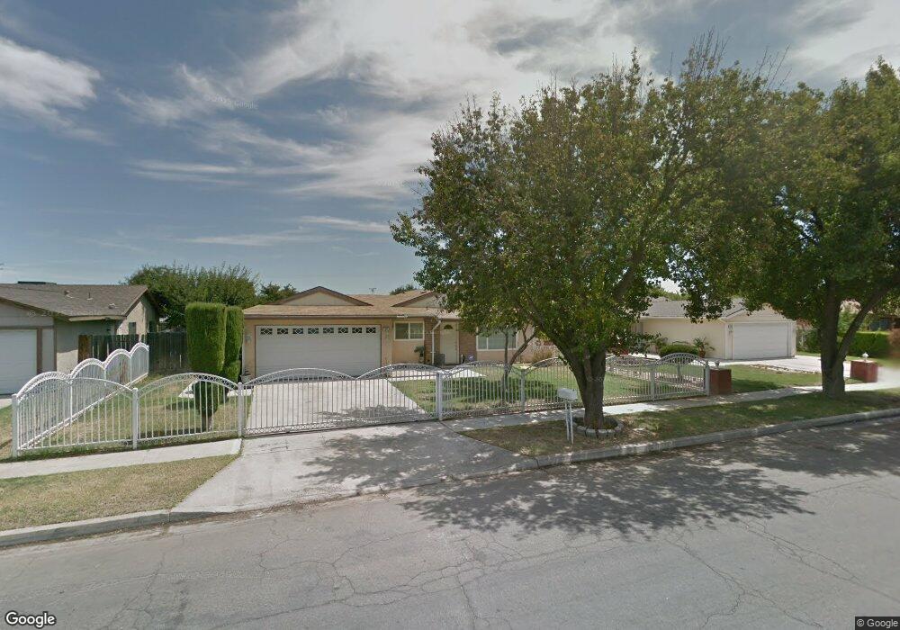
1217 S Ila Ave Fresno, CA 93706
Edison NeighborhoodEstimated Value: $237,000 - $283,800
4
Beds
2
Baths
1,232
Sq Ft
$213/Sq Ft
Est. Value
About This Home
This home is located at 1217 S Ila Ave, Fresno, CA 93706 and is currently estimated at $262,700, approximately $213 per square foot. 1217 S Ila Ave is a home located in Fresno County with nearby schools including Columbia Elementary School, Rutherford B. Gaston Sr. Middle, and Edison High School.
Ownership History
Date
Name
Owned For
Owner Type
Purchase Details
Closed on
Aug 15, 2006
Sold by
Valenzuela Patricia Renee
Bought by
Valenzuela Patricia Renee
Current Estimated Value
Home Financials for this Owner
Home Financials are based on the most recent Mortgage that was taken out on this home.
Original Mortgage
$115,000
Outstanding Balance
$66,112
Interest Rate
5.99%
Mortgage Type
Balloon
Estimated Equity
$196,588
Purchase Details
Closed on
Jan 13, 1994
Sold by
Valenzuela Juan I
Bought by
Valenzuela Christine F
Create a Home Valuation Report for This Property
The Home Valuation Report is an in-depth analysis detailing your home's value as well as a comparison with similar homes in the area
Home Values in the Area
Average Home Value in this Area
Purchase History
| Date | Buyer | Sale Price | Title Company |
|---|---|---|---|
| Valenzuela Patricia Renee | -- | Alliance Title Company | |
| Valenzuela Christine F | -- | -- |
Source: Public Records
Mortgage History
| Date | Status | Borrower | Loan Amount |
|---|---|---|---|
| Open | Valenzuela Patricia Renee | $115,000 |
Source: Public Records
Tax History Compared to Growth
Tax History
| Year | Tax Paid | Tax Assessment Tax Assessment Total Assessment is a certain percentage of the fair market value that is determined by local assessors to be the total taxable value of land and additions on the property. | Land | Improvement |
|---|---|---|---|---|
| 2025 | $1,123 | $95,422 | $17,728 | $77,694 |
| 2023 | $1,100 | $91,719 | $17,041 | $74,678 |
| 2022 | $1,083 | $89,921 | $16,707 | $73,214 |
| 2021 | $1,052 | $88,159 | $16,380 | $71,779 |
| 2020 | $1,047 | $87,256 | $16,213 | $71,043 |
| 2019 | $1,005 | $85,546 | $15,896 | $69,650 |
| 2018 | $982 | $83,870 | $15,585 | $68,285 |
| 2017 | $964 | $82,227 | $15,280 | $66,947 |
| 2016 | $931 | $80,616 | $14,981 | $65,635 |
| 2015 | $916 | $79,406 | $14,756 | $64,650 |
| 2014 | $895 | $77,851 | $14,467 | $63,384 |
Source: Public Records
Map
Nearby Homes
- 511 S Teilman Ave
- 50 S Hughes Ave
- 924 W Myers Ave
- 618 S Hughes Ave
- 1800 W Dan Ronquillo Dr
- 0 Moc: Mission Ranch Unit 629384
- 0 Whitesbridge Ave Unit N. of W. Church Ave.
- 410 S Hughes Ave
- 356 W Strother Ave
- 939 S Arthur Ave
- 255 W Hawes Ave
- 5 E Oleander Ave
- 209 W Eden Ave
- 119 W Eden Ave
- 23 E Strother Ave
- 54 E Kearney Blvd
- 3017 W Oleander Ave
- 430 S Thorne Ave
- 1667 S Plumas St
- 236 E Whitesbridge Ave
- 1207 S Ila Ave
- 1227 S Ila Ave
- 1161 S Ila Ave
- 1237 S Ila Ave
- 1220 S Ila Ave
- 1210 S Ila Ave
- 1151 S Ila Ave
- 1230 S Ila Ave
- 1247 S Ila Ave
- 1158 S Ila Ave
- 1413 W Oleander Ave
- 1240 S Ila Ave
- 1141 S Ila Ave
- 1209 S Warren Ave
- 1219 S Warren Ave
- 1148 S Ila Ave
- 1157 S Warren Ave
- 1229 S Warren Ave
- 1456 W Oleander Ave
- 1131 S Ila Ave