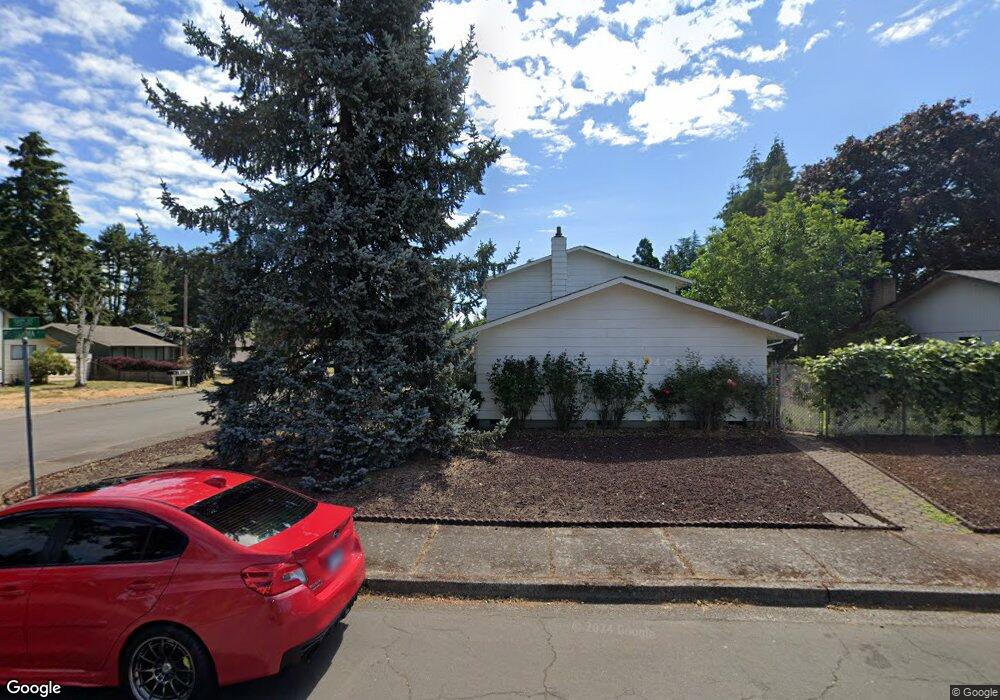
1217 Sequoia Ave Springfield, OR 97477
West Springfield NeighborhoodEstimated Value: $417,450 - $449,000
4
Beds
2
Baths
1,660
Sq Ft
$263/Sq Ft
Est. Value
About This Home
This home is located at 1217 Sequoia Ave, Springfield, OR 97477 and is currently estimated at $436,613, approximately $263 per square foot. 1217 Sequoia Ave is a home located in Lane County with nearby schools including Centennial Elementary School, Hamlin Middle School, and Springfield High School.
Ownership History
Date
Name
Owned For
Owner Type
Purchase Details
Closed on
Jul 14, 2020
Sold by
Cratty Alan S and Cratty Elizabeth
Bought by
Cratty Alan S and Cratty Elizabeth
Current Estimated Value
Purchase Details
Closed on
Oct 3, 2000
Sold by
Baarstad Verne A
Bought by
Cratty Alan S and Cratty Elizabeth
Home Financials for this Owner
Home Financials are based on the most recent Mortgage that was taken out on this home.
Original Mortgage
$114,100
Outstanding Balance
$40,758
Interest Rate
8.01%
Estimated Equity
$395,855
Create a Home Valuation Report for This Property
The Home Valuation Report is an in-depth analysis detailing your home's value as well as a comparison with similar homes in the area
Home Values in the Area
Average Home Value in this Area
Purchase History
| Date | Buyer | Sale Price | Title Company |
|---|---|---|---|
| Cratty Alan S | -- | None Available | |
| Cratty Alan S | $153,500 | Western Pioneer Title Co |
Source: Public Records
Mortgage History
| Date | Status | Borrower | Loan Amount |
|---|---|---|---|
| Open | Cratty Alan S | $114,100 |
Source: Public Records
Tax History
| Year | Tax Paid | Tax Assessment Tax Assessment Total Assessment is a certain percentage of the fair market value that is determined by local assessors to be the total taxable value of land and additions on the property. | Land | Improvement |
|---|---|---|---|---|
| 2025 | $4,525 | $246,766 | -- | -- |
| 2024 | $4,452 | $239,579 | -- | -- |
| 2023 | $4,452 | $232,601 | $0 | $0 |
| 2022 | $4,123 | $225,827 | $0 | $0 |
| 2021 | $4,049 | $219,250 | $0 | $0 |
| 2020 | $3,931 | $212,865 | $0 | $0 |
| 2019 | $3,813 | $206,666 | $0 | $0 |
| 2018 | $3,594 | $194,803 | $0 | $0 |
| 2017 | $3,456 | $194,803 | $0 | $0 |
| 2016 | $3,383 | $189,129 | $0 | $0 |
| 2015 | $3,287 | $183,620 | $0 | $0 |
| 2014 | $3,237 | $178,272 | $0 | $0 |
Source: Public Records
Map
Nearby Homes
- 1074 Hamilton St
- 804 W N St
- 1130 Anderson Ln
- 835 Anderson Ln
- 930 Prescott Ln
- 428 W Centennial Blvd
- 952 Summit Blvd
- 1505 Canal St
- 535 Pacific Ave
- 552 W D St
- 898 Lochaven Ave
- 451 Lochaven Ave
- 1233 1st St
- 364 Scotts Glen Dr
- 446 Kodiak St
- 3579 Oxbow Way
- 207 W D St
- 3360 Chevy Chase St
- 2150 Laura St Unit 119
- 2150 Laura St Unit 111
- 1223 Sequoia Ave
- 1175 Sequoia Ave
- 1279 Sequoia Ave
- 1224 Sequoia Ave
- 1242 Sequoia Ave
- 1188 Sequoia Ave
- 1267 Sequoia Ave
- 1170 W Centennial Blvd
- 1229 Sequoia Ave
- 1266 Sequoia Ave
- 1162 Sequoia Ave
- 1141 Sequoia Ave
- 1285 Sequoia Ave
- 1235 Sequoia Ave
- 1278 Sequoia Ave
- 1166 W Centennial Blvd
- 1247 Sequoia Ave
- 1155 Aspen St
Your Personal Tour Guide
Ask me questions while you tour the home.