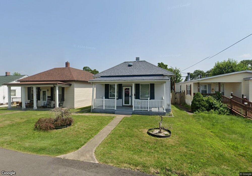
1217 Stock St Pittsburgh, PA 15207
Lincoln Place NeighborhoodEstimated Value: $67,000 - $155,000
2
Beds
1
Bath
840
Sq Ft
$131/Sq Ft
Est. Value
About This Home
This home is located at 1217 Stock St, Pittsburgh, PA 15207 and is currently estimated at $109,783, approximately $130 per square foot. 1217 Stock St is a home located in Allegheny County with nearby schools including Pittsburgh Mifflin K-8, Pittsburgh Allderdice High School, and Walnut Grove Christian School.
Ownership History
Date
Name
Owned For
Owner Type
Purchase Details
Closed on
Mar 7, 2024
Sold by
Skubis John Edward Adr and Skubis Judith M Est
Bought by
Skubis John Edward
Current Estimated Value
Purchase Details
Closed on
Mar 6, 2024
Sold by
Skubis Judy M
Bought by
Skubis John Edward
Purchase Details
Closed on
May 14, 2008
Sold by
Longstreth Stephan L
Bought by
Skubis Judy M
Purchase Details
Closed on
Apr 20, 1996
Sold by
Kudla Donald A and Kudla Anna M
Bought by
Longstreth Stephan L and Longstreth Marian T
Create a Home Valuation Report for This Property
The Home Valuation Report is an in-depth analysis detailing your home's value as well as a comparison with similar homes in the area
Home Values in the Area
Average Home Value in this Area
Purchase History
| Date | Buyer | Sale Price | Title Company |
|---|---|---|---|
| Skubis John Edward | -- | -- | |
| Skubis Judy M | $28,000 | -- | |
| Longstreth Stephan L | $21,900 | -- | |
| Skubis John Edward | -- | -- |
Source: Public Records
Tax History Compared to Growth
Tax History
| Year | Tax Paid | Tax Assessment Tax Assessment Total Assessment is a certain percentage of the fair market value that is determined by local assessors to be the total taxable value of land and additions on the property. | Land | Improvement |
|---|---|---|---|---|
| 2025 | $475 | $20,600 | $11,400 | $9,200 |
| 2024 | $475 | $20,600 | $11,400 | $9,200 |
| 2023 | $475 | $20,600 | $11,400 | $9,200 |
| 2022 | $468 | $20,600 | $11,400 | $9,200 |
| 2021 | $377 | $20,600 | $11,400 | $9,200 |
| 2020 | $466 | $20,600 | $11,400 | $9,200 |
| 2019 | $466 | $20,600 | $11,400 | $9,200 |
| 2018 | $281 | $20,600 | $11,400 | $9,200 |
| 2017 | $466 | $20,600 | $11,400 | $9,200 |
| 2016 | $97 | $20,600 | $11,400 | $9,200 |
| 2015 | $97 | $20,600 | $11,400 | $9,200 |
| 2014 | $456 | $20,600 | $11,400 | $9,200 |
Source: Public Records
Map
Nearby Homes
- 1141 Stock St
- 1105 Stock St
- 1222 Rodgers St
- 5838 Rodgers St
- 5719 Keefe St
- LOT 2 Muldowney Ave
- LOT 1 Muldowney Ave
- 5920 Rodgers St
- 5937 Apdale St
- 5354 Cox Ave
- 1161 Cox Place
- 1204 Mifflin Rd
- 1323 Leaside Dr
- 723 Elwell Ave
- 715 Irwin Run Rd
- 1835 Orchid Place
- 4829 Lougean Ave
- 4803 Aspen St
- 6710 Buchanan Ave
- 6847 Wilson St