1217 Suttle Rd Lancaster, SC 29720
Estimated Value: $198,000 - $364,000
2
Beds
2
Baths
1,680
Sq Ft
$167/Sq Ft
Est. Value
About This Home
This home is located at 1217 Suttle Rd, Lancaster, SC 29720 and is currently estimated at $280,906, approximately $167 per square foot. 1217 Suttle Rd is a home located in Lancaster County with nearby schools including McDonald Green Elementary School, South Middle School, and Lancaster High School.
Ownership History
Date
Name
Owned For
Owner Type
Purchase Details
Closed on
Jun 4, 2025
Sold by
Harris Adrian B and Mingo Juwain Latese
Bought by
Moore Peter L and Moore Mesharon
Current Estimated Value
Purchase Details
Closed on
Nov 17, 2021
Sold by
Mingo Samuel and Mingo Sam
Bought by
Harris Adrian B and Mingo Juwain Latese
Purchase Details
Closed on
Aug 10, 2006
Sold by
Crenshaw Ray W and Moseley Diane C
Bought by
Mingo Samuel
Purchase Details
Closed on
Nov 18, 2003
Sold by
Crenshaw Ray W
Bought by
Crenshaw Ray W and Moseley Diane C
Create a Home Valuation Report for This Property
The Home Valuation Report is an in-depth analysis detailing your home's value as well as a comparison with similar homes in the area
Home Values in the Area
Average Home Value in this Area
Purchase History
| Date | Buyer | Sale Price | Title Company |
|---|---|---|---|
| Moore Peter L | $200,000 | None Listed On Document | |
| Harris Adrian B | -- | None Available | |
| Mingo Samuel | $50,000 | None Available | |
| Crenshaw Ray W | -- | -- |
Source: Public Records
Tax History
| Year | Tax Paid | Tax Assessment Tax Assessment Total Assessment is a certain percentage of the fair market value that is determined by local assessors to be the total taxable value of land and additions on the property. | Land | Improvement |
|---|---|---|---|---|
| 2024 | $2,967 | $8,946 | $3,504 | $5,442 |
| 2023 | $2,963 | $8,946 | $3,504 | $5,442 |
| 2022 | $2,952 | $8,946 | $3,504 | $5,442 |
| 2021 | $2,907 | $8,946 | $3,504 | $5,442 |
| 2020 | $2,829 | $8,724 | $3,504 | $5,220 |
| 2019 | $2,952 | $8,724 | $3,504 | $5,220 |
| 2018 | $2,841 | $8,724 | $3,504 | $5,220 |
| 2017 | $2,666 | $0 | $0 | $0 |
| 2016 | $2,631 | $0 | $0 | $0 |
| 2015 | $2,401 | $0 | $0 | $0 |
| 2014 | $2,401 | $0 | $0 | $0 |
| 2013 | $2,401 | $0 | $0 | $0 |
Source: Public Records
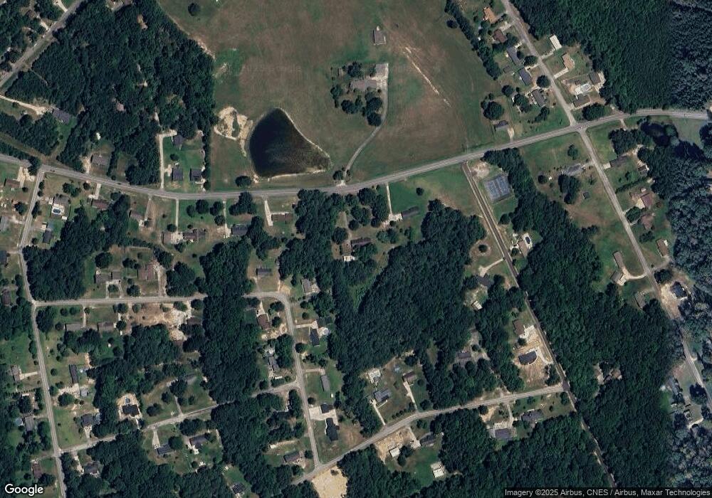
Map
Nearby Homes
- 2895 Courtside Dr
- 1182 Merribrook Ln
- 1186 Merribrook Ln
- 1139 Merribrook Ln
- 2908 Woodland Way
- 5114 Sedgefield Dr
- 5142 Sedgefield Dr
- 1411 Foxbrook Cir
- 1976 McIlwain Rd
- 2599 State Road S-29-503
- 2131 Robert H Kirk Rd
- 2375 Ellison Cir
- TBD Sunnyside Dr Unit 14 & 15
- 2417 Lynwood Dr
- 2526 Country Club Dr
- 2470 Country Club Dr
- 2644 Downey Dr
- Lot 24 Avalon Ln Unit 24
- 2166 Reeves Rd
- 2795 Cane Mill Rd
- 1197 Suttle Rd
- 1264 Foxfire Dr
- 1241 Suttle Rd
- 1272 Foxfire Dr
- 1244 Foxfire Dr
- 1247 Suttle Rd
- 1255 Foxfire Dr
- 2842 Courtside Dr
- 1228 Foxfire Dr
- 1150 Wrenwood Dr
- 1160 Wrenwood Dr
- 1128 Wrenwood Dr
- 1239 Foxfire Dr
- 1204 Suttle Rd
- 2839 Courtside Dr
- 1269 Blair Ct
- 1273 Suttle Rd
- 1218 Foxfire Dr
- 1272 Suttle Rd
- 1297 Foxfire Dr
Your Personal Tour Guide
Ask me questions while you tour the home.