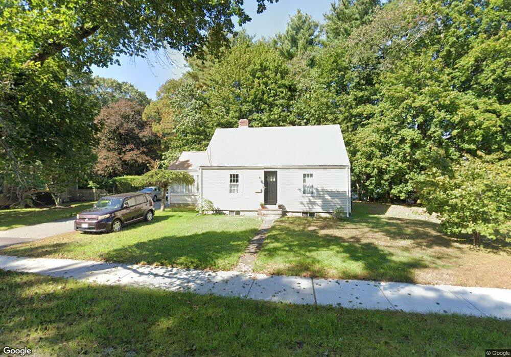
1217 Washington St Walpole, MA 02081
Estimated Value: $538,000 - $599,000
2
Beds
2
Baths
1,224
Sq Ft
$458/Sq Ft
Est. Value
About This Home
This home is located at 1217 Washington St, Walpole, MA 02081 and is currently estimated at $560,317, approximately $457 per square foot. 1217 Washington St is a home located in Norfolk County with nearby schools including Boyden School, Eleanor N. Johnson Middle School, and Walpole High School.
Ownership History
Date
Name
Owned For
Owner Type
Purchase Details
Closed on
Dec 1, 1995
Sold by
Conlon Kevin P
Bought by
Frattasio Adam and Frattasio Kathleen M
Current Estimated Value
Home Financials for this Owner
Home Financials are based on the most recent Mortgage that was taken out on this home.
Original Mortgage
$112,000
Interest Rate
7.37%
Mortgage Type
Purchase Money Mortgage
Purchase Details
Closed on
Aug 16, 1990
Sold by
Valentine Tr Mary P
Bought by
Conlon Kevin P
Create a Home Valuation Report for This Property
The Home Valuation Report is an in-depth analysis detailing your home's value as well as a comparison with similar homes in the area
Home Values in the Area
Average Home Value in this Area
Purchase History
| Date | Buyer | Sale Price | Title Company |
|---|---|---|---|
| Frattasio Adam | $140,000 | -- | |
| Conlon Kevin P | $125,000 | -- |
Source: Public Records
Mortgage History
| Date | Status | Borrower | Loan Amount |
|---|---|---|---|
| Open | Conlon Kevin P | $50,000 | |
| Open | Conlon Kevin P | $164,000 | |
| Closed | Conlon Kevin P | $150,000 | |
| Closed | Frattasio Adam | $112,000 |
Source: Public Records
Tax History
| Year | Tax Paid | Tax Assessment Tax Assessment Total Assessment is a certain percentage of the fair market value that is determined by local assessors to be the total taxable value of land and additions on the property. | Land | Improvement |
|---|---|---|---|---|
| 2025 | $6,350 | $494,900 | $275,000 | $219,900 |
| 2024 | $6,175 | $467,100 | $264,400 | $202,700 |
| 2023 | $6,073 | $437,200 | $229,900 | $207,300 |
| 2022 | $5,748 | $397,500 | $212,900 | $184,600 |
| 2021 | $5,423 | $365,400 | $200,900 | $164,500 |
| 2020 | $5,474 | $365,200 | $189,500 | $175,700 |
| 2019 | $5,299 | $350,900 | $182,300 | $168,600 |
| 2018 | $4,825 | $316,000 | $175,500 | $140,500 |
| 2017 | $4,663 | $304,200 | $168,700 | $135,500 |
| 2016 | $4,430 | $284,700 | $162,200 | $122,500 |
| 2015 | $4,274 | $272,200 | $154,300 | $117,900 |
| 2014 | $4,128 | $261,900 | $154,300 | $107,600 |
Source: Public Records
Map
Nearby Homes
- 37 Alice Ave
- 6 Eleanor Rd
- 635 Old Post Rd Unit 303
- 635 Old Post Rd Unit 302
- 635 Old Post Rd Unit 210
- 635 Old Post Rd Unit 2-203
- 145 South St Unit 5
- 0 U S Route 1
- 11 Clark Ave
- 50 Riverside Place
- 3 Stone Hill Terrace
- 1549 Washington St Unit A
- 224 School St Unit 9
- 222 School St Unit 9
- 1110 Main St
- 1391 Main St Unit 308
- 1391 Main St Unit 306
- 1391 Main St Unit 304
- 32 Rainbow Pond Dr Unit B1
- 28 Eastover Rd Unit 28
- 1219 Washington St
- 485 Common St
- 487 Common St
- 457 Common St
- 1225 Washington St
- 1220 Washington St
- 455 Common St
- 495 Common St
- 1231 Washington St
- 448 Common St
- 2 Hidden Ln
- 1230 Washington St
- 486 Common St
- 1184 Washington St
- 1 Hidden Ln
- 440 Common St
- 488 Common St
- 451 Common St
- 432 Common St
- 1245 Washington St
Your Personal Tour Guide
Ask me questions while you tour the home.