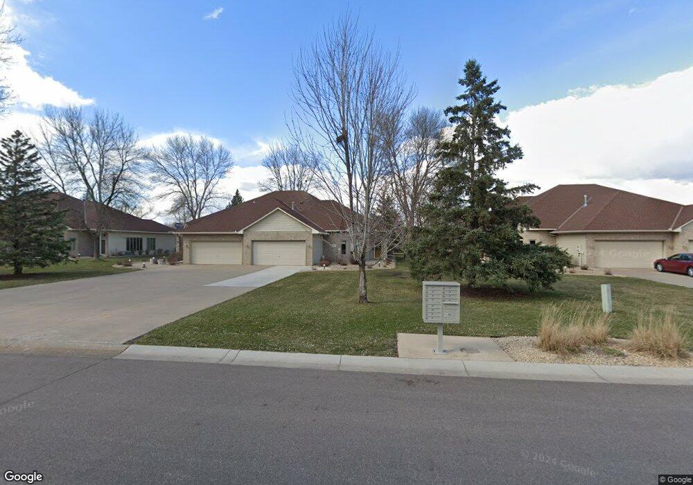
12170 Bluebird Cir NW Coon Rapids, MN 55448
Estimated Value: $456,000 - $480,000
2
Beds
2
Baths
2,200
Sq Ft
$214/Sq Ft
Est. Value
About This Home
This home is located at 12170 Bluebird Cir NW, Coon Rapids, MN 55448 and is currently estimated at $470,711, approximately $213 per square foot. 12170 Bluebird Cir NW is a home located in Anoka County with nearby schools including Lucile Bruner Elementary School, Sand Creek Elementary School, and Laughlin Junior/Senior High School.
Ownership History
Date
Name
Owned For
Owner Type
Purchase Details
Closed on
Aug 26, 2021
Sold by
Merrill Virginia M and Virginia M Merrill Trust
Bought by
Helland Clark R and Helland Cathlyn E
Current Estimated Value
Home Financials for this Owner
Home Financials are based on the most recent Mortgage that was taken out on this home.
Original Mortgage
$176,000
Interest Rate
2.88%
Mortgage Type
New Conventional
Purchase Details
Closed on
Aug 23, 2019
Sold by
Merrill Virginia M
Bought by
Merrill Virginia M and Virginia M Merrill Trust
Purchase Details
Closed on
Sep 23, 2015
Sold by
Merrill Kenneth F and Merrill Virginia M
Bought by
Merrill Kenneth F and Merrill Virginia M
Create a Home Valuation Report for This Property
The Home Valuation Report is an in-depth analysis detailing your home's value as well as a comparison with similar homes in the area
Home Values in the Area
Average Home Value in this Area
Purchase History
| Date | Buyer | Sale Price | Title Company |
|---|---|---|---|
| Helland Clark R | $426,000 | Edina Realty Title Inc | |
| Merrill Virginia M | -- | None Available | |
| Merrill Virginia M | -- | None Available | |
| Merrill Kenneth F | -- | None Available |
Source: Public Records
Mortgage History
| Date | Status | Borrower | Loan Amount |
|---|---|---|---|
| Previous Owner | Helland Clark R | $176,000 |
Source: Public Records
Tax History Compared to Growth
Tax History
| Year | Tax Paid | Tax Assessment Tax Assessment Total Assessment is a certain percentage of the fair market value that is determined by local assessors to be the total taxable value of land and additions on the property. | Land | Improvement |
|---|---|---|---|---|
| 2025 | $4,680 | $431,500 | $93,500 | $338,000 |
| 2024 | $4,680 | $437,400 | $88,000 | $349,400 |
| 2023 | $3,722 | $386,700 | $71,500 | $315,200 |
| 2022 | $3,562 | $377,500 | $72,600 | $304,900 |
| 2021 | $3,719 | $316,000 | $52,800 | $263,200 |
| 2020 | $3,789 | $321,800 | $44,000 | $277,800 |
| 2019 | $3,574 | $313,500 | $44,000 | $269,500 |
| 2018 | $3,482 | $286,300 | $0 | $0 |
| 2017 | $3,239 | $269,400 | $0 | $0 |
| 2016 | $3,318 | $244,900 | $0 | $0 |
| 2015 | -- | $244,900 | $50,000 | $194,900 |
| 2014 | -- | $203,500 | $34,000 | $169,500 |
Source: Public Records
Map
Nearby Homes
- 12010 Eagle St NW
- 1449 119th Ln NW
- 12463 Drake St NW
- 11852 Yellow Pine St NW
- 11923 Wintergreen St NW
- 1625 124th Ave NW
- 1727 121st Ln NW
- 12488 Unity St NW
- 1450 126th Ln NW
- 899 123rd Ln NW
- 12365 Jay St NW
- 1593 126th Ln NW
- 12554 Grouse St NW
- 12796 Bluebird St NW
- 1234 128th Cir NW
- 1660 Northdale Blvd NW
- 12357 Magnolia St NW
- 633 Sand Creek Dr NW
- 1520 129th Ave NW
- 2068 124th Ln NW
- 12166 Bluebird Cir NW
- 12176 Bluebird Cir NW
- 12182 Bluebird Cir NW
- 12162 Bluebird Cir NW
- 12156 Bluebird Cir NW
- 12188 Bluebird Cir NW
- 12194 Bluebird Cir NW
- 12175 Bluebird Cir NW
- 12191 Bluebird Cir NW
- 12147 Bluebird Cir NW
- 12150 Bluebird Cir NW
- 12189 Bluebird Cir NW
- 12144 Bluebird Cir NW
- 12133 Bluebird Cir NW
- 12179 Bluebird Cir NW
- 12138 Bluebird Cir NW
- 12183 Bluebird Cir NW
- 12187 Bluebird Cir NW
- 12134 Bluebird Cir NW
- 12121 Bluebird Cir NW