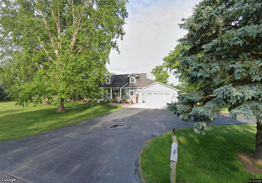
12172 S 1100 W Wanatah, IN 46390
Estimated Value: $380,000 - $430,000
2
Beds
1
Bath
1,428
Sq Ft
$279/Sq Ft
Est. Value
About This Home
This home is located at 12172 S 1100 W, Wanatah, IN 46390 and is currently estimated at $397,964, approximately $278 per square foot. 12172 S 1100 W is a home located in LaPorte County.
Ownership History
Date
Name
Owned For
Owner Type
Purchase Details
Closed on
Nov 3, 2011
Sold by
Bailey Gerald A
Bought by
Santacaterina Marcia A
Current Estimated Value
Purchase Details
Closed on
Aug 26, 2010
Sold by
Bailey Gerald A
Bought by
Santacaterina Marcia A
Home Financials for this Owner
Home Financials are based on the most recent Mortgage that was taken out on this home.
Original Mortgage
$106,564
Interest Rate
4.6%
Mortgage Type
FHA
Purchase Details
Closed on
Nov 5, 2009
Sold by
Bailey Gerald A and Bailey Susan K
Bought by
Bailey Gerald A and Bailey Susan K
Create a Home Valuation Report for This Property
The Home Valuation Report is an in-depth analysis detailing your home's value as well as a comparison with similar homes in the area
Home Values in the Area
Average Home Value in this Area
Purchase History
| Date | Buyer | Sale Price | Title Company |
|---|---|---|---|
| Santacaterina Marcia A | -- | Meridian Title Corp | |
| Santacaterina Marcia A | -- | Meridian Title Corp | |
| Bailey Gerald A | -- | None Available |
Source: Public Records
Mortgage History
| Date | Status | Borrower | Loan Amount |
|---|---|---|---|
| Previous Owner | Santacaterina Marcia A | $106,564 |
Source: Public Records
Tax History Compared to Growth
Tax History
| Year | Tax Paid | Tax Assessment Tax Assessment Total Assessment is a certain percentage of the fair market value that is determined by local assessors to be the total taxable value of land and additions on the property. | Land | Improvement |
|---|---|---|---|---|
| 2024 | $3,706 | $275,600 | $40,000 | $235,600 |
| 2022 | $3,796 | $248,200 | $30,000 | $218,200 |
| 2021 | $3,796 | $236,700 | $30,000 | $206,700 |
| 2020 | $3,562 | $236,700 | $30,000 | $206,700 |
| 2019 | $3,333 | $228,900 | $27,500 | $201,400 |
| 2018 | $2,879 | $201,300 | $27,500 | $173,800 |
| 2017 | $2,665 | $195,100 | $27,500 | $167,600 |
| 2016 | $2,443 | $184,100 | $27,500 | $156,600 |
| 2014 | $1,714 | $128,800 | $27,500 | $101,300 |
Source: Public Records
Map
Nearby Homes
- 207 N Washington St
- 106 N Illinois St Unit 266
- 104 W Cross St
- 305 N Ohio St
- 116 Sprunger Dr
- 105 Earl St
- 627 Fieldcrest Cir
- 0 W Hwy 30 Unit GNR545374
- 9552 S Bigelow Mill Rd
- 627 E 300 S
- 421 Amy Rose Ln
- 83 Kaper Ln
- 87 Kaper Ln
- 6465 W 1100 S
- 0 Porters Vale Blvd Unit GNR544918
- 0 St Road 2 Unit GNR544911
- 168 Jamestown Ave
- W 800 S V L
- 0 Parcel B 325 E
- 0 Parcel A 325 E
- 509 W First St
- 12202 S 1100 W
- 12222 S 1100 W
- 12011 S 1100 W
- 11002 W Us Highway 30
- 12012 S 1100 W
- 1092 Kabert Dr Unit 241785
- 1092 Kabert Dr Unit 275295
- 1092 Kabert Dr
- 0 S 1100 W
- 10800 W Us Highway 30
- 10770 W Us Highway 30
- 11901 S 1100 W
- 102 Mayfield St
- 11151 W Us Highway 30
- 11151 W Us Highway 30
- 106 Mayfield St
- 101 Mayfield St
- 10720 W Us Highway 30
- 11201 W Us Highway 30