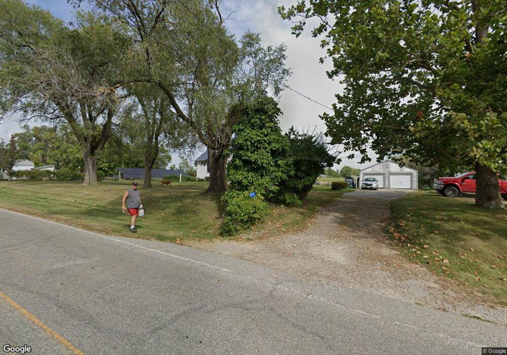
12175 120th Ave Ottumwa, IA 52501
Estimated Value: $305,543 - $371,000
4
Beds
2
Baths
2,524
Sq Ft
$129/Sq Ft
Est. Value
About This Home
This home is located at 12175 120th Ave, Ottumwa, IA 52501 and is currently estimated at $325,886, approximately $129 per square foot. 12175 120th Ave is a home located in Wapello County with nearby schools including Eisenhower Elementary School, Evans Middle School, and Ottumwa High School.
Ownership History
Date
Name
Owned For
Owner Type
Purchase Details
Closed on
Jul 31, 2025
Sold by
Kaiser Karen M and Merchant Karen M
Bought by
Brownlee Shane and Brownlee Ashley
Current Estimated Value
Home Financials for this Owner
Home Financials are based on the most recent Mortgage that was taken out on this home.
Original Mortgage
$279,000
Outstanding Balance
$278,761
Interest Rate
6.77%
Mortgage Type
New Conventional
Estimated Equity
$47,125
Purchase Details
Closed on
May 16, 2007
Sold by
Estate Of Beatrice Jane Cook
Bought by
Kaiser Dale W and Kaiser Karen M
Create a Home Valuation Report for This Property
The Home Valuation Report is an in-depth analysis detailing your home's value as well as a comparison with similar homes in the area
Home Values in the Area
Average Home Value in this Area
Purchase History
| Date | Buyer | Sale Price | Title Company |
|---|---|---|---|
| Brownlee Shane | $310,000 | None Listed On Document | |
| Brownlee Shane | $310,000 | None Listed On Document | |
| Kaiser Dale W | $125,000 | None Available |
Source: Public Records
Mortgage History
| Date | Status | Borrower | Loan Amount |
|---|---|---|---|
| Open | Brownlee Shane | $279,000 | |
| Closed | Brownlee Shane | $279,000 |
Source: Public Records
Tax History Compared to Growth
Tax History
| Year | Tax Paid | Tax Assessment Tax Assessment Total Assessment is a certain percentage of the fair market value that is determined by local assessors to be the total taxable value of land and additions on the property. | Land | Improvement |
|---|---|---|---|---|
| 2025 | $2,034 | $150,290 | $31,080 | $119,210 |
| 2024 | $2,034 | $133,340 | $23,420 | $109,920 |
| 2023 | $1,674 | $133,340 | $23,420 | $109,920 |
| 2022 | $1,490 | $104,440 | $17,380 | $87,060 |
| 2021 | $1,508 | $88,820 | $18,340 | $70,480 |
| 2020 | $1,504 | $91,140 | $19,370 | $71,770 |
| 2019 | $1,510 | $99,420 | $0 | $0 |
| 2018 | $1,478 | $99,420 | $0 | $0 |
| 2017 | $1,478 | $98,900 | $0 | $0 |
| 2016 | $2,114 | $155,174 | $0 | $0 |
| 2015 | $2,118 | $155,174 | $0 | $0 |
| 2014 | $2,118 | $155,174 | $0 | $0 |
Source: Public Records
Map
Nearby Homes
- 463 E Rochester Rd
- 11994 118th Ave
- 307 E Rochester Rd
- 0 E Rochester Rd
- 444 Crestview Ave
- 2438 N Jefferson St
- 2540 Kenwood St
- 2633 Clearview St
- 45 Brookwood Ct
- 211 Elmdale Ave
- 2620 Marilyn Rd
- 10 Bell Dr
- 418 Carter Ave
- 31 Weaver Dr
- 74 Schwartz Dr
- 409 Grandview Ave
- 2009 N Jefferson St
- 627 Edwards Dr
- 11995 Rutledge Rd
- 5 Birchwood Heights Dr
- 11915 Angle Rd
- 11909 Angle Rd
- 12182 120th Ave
- 12160 120th Ave
- 11781 Angle Rd
- 447 E Rochester Rd
- 439 E Rochester Rd
- 472 E Rochester Rd
- 464 E Rochester Rd
- 431 E Rochester Rd
- 0 120th Ave
- 460 E Rochester Rd
- 11731 Angle Rd
- 409 E Rochester Rd
- 432 E Rochester Rd
- 424 E Rochester Rd
- 11728 Angle Rd
- 407 E Rochester Rd
- 11719 Angle Rd
- 395 E Rochester Rd