12177 Mcpherson St NE Lowell, MI 49331
Estimated Value: $266,000 - $491,000
--
Bed
--
Bath
2,440
Sq Ft
$169/Sq Ft
Est. Value
About This Home
This home is located at 12177 Mcpherson St NE, Lowell, MI 49331 and is currently estimated at $411,372, approximately $168 per square foot. 12177 Mcpherson St NE is a home located in Kent County with nearby schools including Murray Lake Elementary School, Lowell Middle School, and Lowell Senior High School.
Ownership History
Date
Name
Owned For
Owner Type
Purchase Details
Closed on
Mar 17, 2011
Sold by
Poll Michael and Poll Angela
Bought by
Bieri Paul
Current Estimated Value
Home Financials for this Owner
Home Financials are based on the most recent Mortgage that was taken out on this home.
Original Mortgage
$49,000
Outstanding Balance
$18,722
Interest Rate
5.09%
Mortgage Type
Purchase Money Mortgage
Estimated Equity
$392,650
Purchase Details
Closed on
Apr 21, 2010
Sold by
Poll Michael and Poll Angela
Bought by
Federal Home Loan Mortgage Corp
Purchase Details
Closed on
May 8, 1992
Create a Home Valuation Report for This Property
The Home Valuation Report is an in-depth analysis detailing your home's value as well as a comparison with similar homes in the area
Home Values in the Area
Average Home Value in this Area
Purchase History
| Date | Buyer | Sale Price | Title Company |
|---|---|---|---|
| Bieri Paul | $70,000 | Town & Country Title Agency | |
| Federal Home Loan Mortgage Corp | $51,750 | None Available | |
| -- | $10,000 | -- |
Source: Public Records
Mortgage History
| Date | Status | Borrower | Loan Amount |
|---|---|---|---|
| Open | Bieri Paul | $49,000 |
Source: Public Records
Tax History Compared to Growth
Tax History
| Year | Tax Paid | Tax Assessment Tax Assessment Total Assessment is a certain percentage of the fair market value that is determined by local assessors to be the total taxable value of land and additions on the property. | Land | Improvement |
|---|---|---|---|---|
| 2025 | $2,321 | $198,000 | $0 | $0 |
| 2024 | $2,321 | $182,800 | $0 | $0 |
| 2023 | $2,220 | $158,800 | $0 | $0 |
| 2022 | $2,976 | $140,300 | $0 | $0 |
| 2021 | $2,900 | $136,300 | $0 | $0 |
| 2020 | $2,042 | $129,300 | $0 | $0 |
| 2019 | $2,766 | $117,100 | $0 | $0 |
| 2018 | $2,711 | $113,500 | $0 | $0 |
| 2017 | $2,638 | $99,200 | $0 | $0 |
| 2016 | $2,539 | $88,000 | $0 | $0 |
| 2015 | -- | $88,000 | $0 | $0 |
| 2013 | -- | $87,800 | $0 | $0 |
Source: Public Records
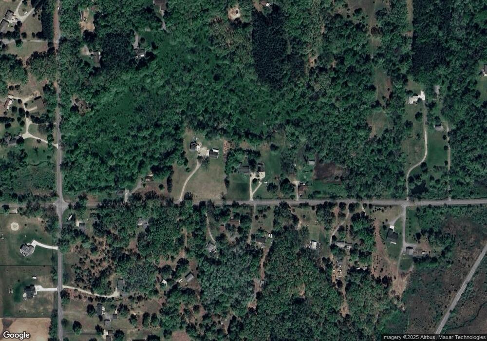
Map
Nearby Homes
- 12180 Downes St NE
- 699 Lincoln Lake Ave NE
- 12812 Triple Oak Dr NE Unit 1
- 12845 Triple Oak Unit 14
- 511 Headwaters Dr NE
- 13227 Beckwith Dr NE
- 13164 Beckwith Dr NE
- 12548 Alder Meadow Ct NE
- 12151 Vergennes St
- 59 Radny Dr
- 11770 Alden Ct NE Unit 23
- 2525 Biggs Ave NE
- 12053 Alden Ct NE
- 3101 Lincoln Lake Ave NE
- 3039 Rabbit Run NE
- 13959 Covered Bridge Rd NE
- 12052 Alden Ct NE
- 11650 Lally St NE
- 2900 Murray Lake Ave NE
- 14111 Thompson Dr NE
- 12155 Mcpherson St NE
- 12150 Mcpherson St NE
- 12213 Mcpherson St NE
- 12166 Mcpherson St NE
- 12214 Mcpherson St NE
- 12140 Mcpherson St NE
- 12220 Mcpherson St NE
- 12262 Mcpherson St NE
- 12076 Mcpherson St NE
- 12110 Mcpherson St NE
- 12256 Mcpherson St NE
- 12055 Mcpherson St NE
- 12260 Mcpherson St NE
- 1366 Alden Nash Ave NE
- 12300 Mcpherson St NE
- 1426 Alden Nash Ave NE
- 1130 Alden Nash Ave NE
- 1180 Alden Nash Ave NE
- 1180 Alden Nash Ave NE
- 1280 Alden Nash Ave NE