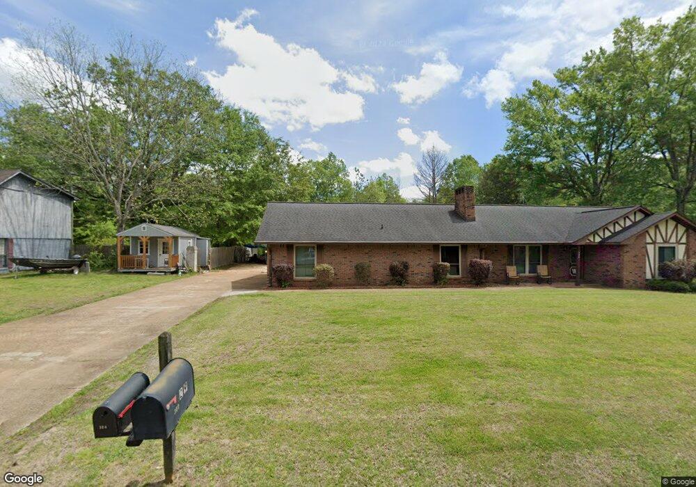
1218 Mapleview Rd West Point, MS 39773
Estimated Value: $220,487 - $320,000
4
Beds
--
Bath
2,297
Sq Ft
$114/Sq Ft
Est. Value
About This Home
This home is located at 1218 Mapleview Rd, West Point, MS 39773 and is currently estimated at $261,622, approximately $113 per square foot. 1218 Mapleview Rd is a home located in Clay County with nearby schools including East Side Elementary School, West Clay Elementary School, and Church Hill Elementary School.
Ownership History
Date
Name
Owned For
Owner Type
Purchase Details
Closed on
Feb 4, 2021
Sold by
Coleman Peggy G and Green Jack
Bought by
Weaver Michael A and Weaver Theresa R
Current Estimated Value
Home Financials for this Owner
Home Financials are based on the most recent Mortgage that was taken out on this home.
Original Mortgage
$198,500
Outstanding Balance
$175,745
Interest Rate
2.65%
Mortgage Type
VA
Estimated Equity
$85,877
Purchase Details
Closed on
Jan 24, 2005
Sold by
Green Nell M
Bought by
Coleman Peggy G and Reynolds Patricia A
Create a Home Valuation Report for This Property
The Home Valuation Report is an in-depth analysis detailing your home's value as well as a comparison with similar homes in the area
Purchase History
| Date | Buyer | Sale Price | Title Company |
|---|---|---|---|
| Weaver Michael A | -- | -- | |
| Coleman Peggy G | -- | -- |
Source: Public Records
Mortgage History
| Date | Status | Borrower | Loan Amount |
|---|---|---|---|
| Open | Weaver Michael A | $198,500 |
Source: Public Records
Tax History
| Year | Tax Paid | Tax Assessment Tax Assessment Total Assessment is a certain percentage of the fair market value that is determined by local assessors to be the total taxable value of land and additions on the property. | Land | Improvement |
|---|---|---|---|---|
| 2025 | $804 | $17,600 | $2,500 | $15,100 |
| 2024 | $804 | $17,600 | $2,500 | $15,100 |
| 2023 | $1,892 | $14,645 | $2,500 | $12,145 |
| 2022 | $648 | $14,645 | $2,500 | $12,145 |
| 2021 | $1,194 | $21,967 | $3,750 | $18,217 |
| 2020 | $382 | $14,534 | $2,500 | $12,034 |
| 2019 | $364 | $14,534 | $2,500 | $12,034 |
| 2018 | $348 | $14,534 | $2,500 | $12,034 |
| 2017 | $348 | $14,534 | $2,500 | $12,034 |
| 2016 | $335 | $14,534 | $2,500 | $12,034 |
| 2015 | $283 | $13,237 | $2,500 | $10,737 |
| 2014 | $267 | $13,237 | $2,500 | $10,737 |
| 2013 | $267 | $13,237 | $2,500 | $10,737 |
Source: Public Records
Map
Nearby Homes
- 264 Mapleview Rd
- 161 Mapleview Rd
- 389 Mapleview Rd
- Lot 2 Waverly Rd
- Lot 6 Waverly Rd
- Lot 5 Waverly Rd
- Lot 3 Waverly Rd
- Lot 10 Waverly Rd
- Lot 8 Waverly Rd
- Lot 7 Waverly Rd
- Lot 9 Waverly Rd
- Lot 4 Waverly Rd
- Lot 11 Waverly Rd
- 15 David St
- 3986 E Church Hill Rd
- 44 Torbert Dr
- 405 S Eshman Ave
- 1046 E Brame Ave
- 472 S Eshman Ave
- 278 Converse Dr
- 342 Mapleview Rd
- 1226 Mapleview Rd
- 304 Mapleview Rd
- 309 Mapleview Rd
- 1219 Mapleview Rd
- 1206 Mapleview Rd
- 1230 Mapleview Rd
- 341 Mapleview Rd
- 1239 Mapleview Rd
- 1241 Mapleview Rd
- 378 Mapleview Rd
- 1229 Mapleview Rd
- 1236 Mapleview Rd
- 1339 Elm Crest Cove
- 60 Elm Crest Cove
- 1325 Elm Crest Cove
- 1316 Oak Dr
- 1334 Elm Crest Cove
- 402 Mapleview Rd
- 219 Mapleview Rd
Your Personal Tour Guide
Ask me questions while you tour the home.