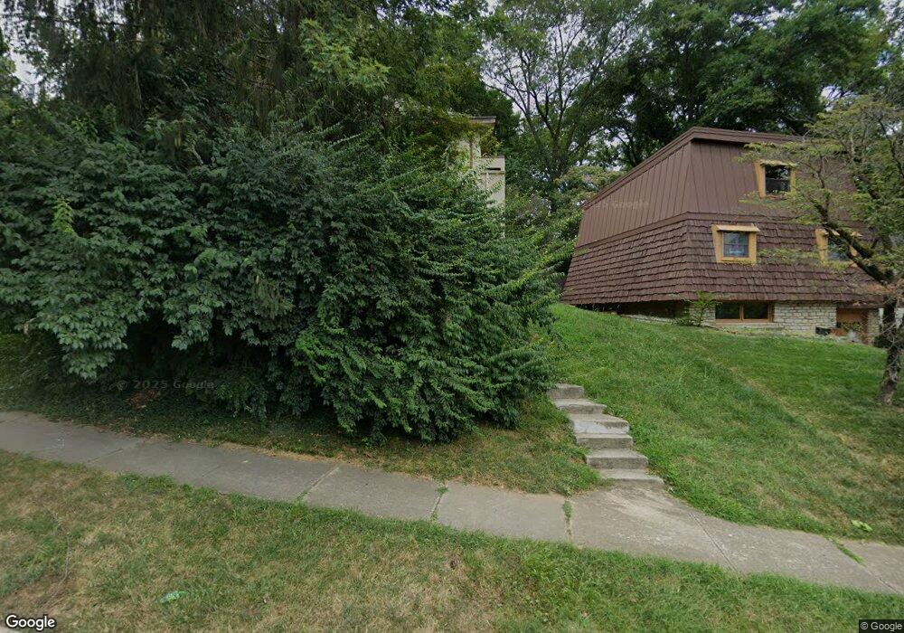
1218 Mulford Rd Columbus, OH 43212
Estimated Value: $461,000 - $690,000
4
Beds
1
Bath
1,795
Sq Ft
$330/Sq Ft
Est. Value
About This Home
This home is located at 1218 Mulford Rd, Columbus, OH 43212 and is currently estimated at $592,350, approximately $330 per square foot. 1218 Mulford Rd is a home located in Franklin County with nearby schools including Robert Louis Stevenson Elementary School, Larson Middle School, and Grandview Heights High School.
Ownership History
Date
Name
Owned For
Owner Type
Purchase Details
Closed on
Sep 19, 1996
Sold by
Arnold Robert A
Bought by
John D Petric
Current Estimated Value
Home Financials for this Owner
Home Financials are based on the most recent Mortgage that was taken out on this home.
Original Mortgage
$97,300
Outstanding Balance
$8,578
Interest Rate
8.5%
Mortgage Type
New Conventional
Estimated Equity
$583,772
Purchase Details
Closed on
Jan 29, 1992
Purchase Details
Closed on
Jan 19, 1990
Create a Home Valuation Report for This Property
The Home Valuation Report is an in-depth analysis detailing your home's value as well as a comparison with similar homes in the area
Home Values in the Area
Average Home Value in this Area
Purchase History
| Date | Buyer | Sale Price | Title Company |
|---|---|---|---|
| John D Petric | $162,250 | -- | |
| -- | $102,000 | -- | |
| -- | $105,000 | -- |
Source: Public Records
Mortgage History
| Date | Status | Borrower | Loan Amount |
|---|---|---|---|
| Open | John D Petric | $97,300 |
Source: Public Records
Tax History Compared to Growth
Tax History
| Year | Tax Paid | Tax Assessment Tax Assessment Total Assessment is a certain percentage of the fair market value that is determined by local assessors to be the total taxable value of land and additions on the property. | Land | Improvement |
|---|---|---|---|---|
| 2024 | $11,624 | $199,300 | $110,150 | $89,150 |
| 2023 | $10,182 | $199,290 | $110,145 | $89,145 |
| 2022 | $8,614 | $143,570 | $67,620 | $75,950 |
| 2021 | $8,096 | $143,570 | $67,620 | $75,950 |
| 2020 | $8,031 | $143,570 | $67,620 | $75,950 |
| 2019 | $7,781 | $123,100 | $67,620 | $55,480 |
| 2018 | $7,371 | $123,100 | $67,620 | $55,480 |
| 2017 | $7,255 | $123,100 | $67,620 | $55,480 |
| 2016 | $6,995 | $101,610 | $52,290 | $49,320 |
| 2015 | $6,995 | $101,610 | $52,290 | $49,320 |
| 2014 | $7,017 | $101,610 | $52,290 | $49,320 |
| 2013 | $3,083 | $92,365 | $47,530 | $44,835 |
Source: Public Records
Map
Nearby Homes
- 932 Mcclain Rd
- 945 Quay Ave Unit 945E
- 945 Quay Ave Unit G
- 1081 W 3rd Ave
- 943 Timberman Rd
- 1225 Eastview Ave
- 1240 Oxley Rd
- 1242 Oxley Rd
- 1083 W 3rd Ave
- 1095 W 3rd Ave
- 1093 W 3rd Ave
- 1068 Edgehill Rd
- 1124 Edgehill Rd
- 922 Northwest Blvd
- 910-912 Northwest Blvd
- 866-870 Northwest Blvd
- 907 Williams Ave
- 828 Bobcat Ave Unit 204
- 828 Bobcat Ave Unit 205
- 1378 Morning Ave
- 1228 Mulford Rd
- 1232 Mulford Rd
- 1009 Palmer Rd
- 1240 Mulford Rd
- 1015 Palmer Rd
- 1272 Mulford Ave
- 1297 Mulford Ave
- 1217 Mulford Rd
- 995 Palmer 1217 Mulford Rd
- 1246 Mulford Rd
- 995 Palmer Rd
- 1017 Palmer Rd
- 1250 Mulford Rd
- 1060 Virginia Ave
- 1058 Virginia Ave
- 0 Palmer Rd
- 1241 Mulford Rd
- 1054 Virginia Ave
- 1185 W 1st Ave
- 1256 Mulford Rd