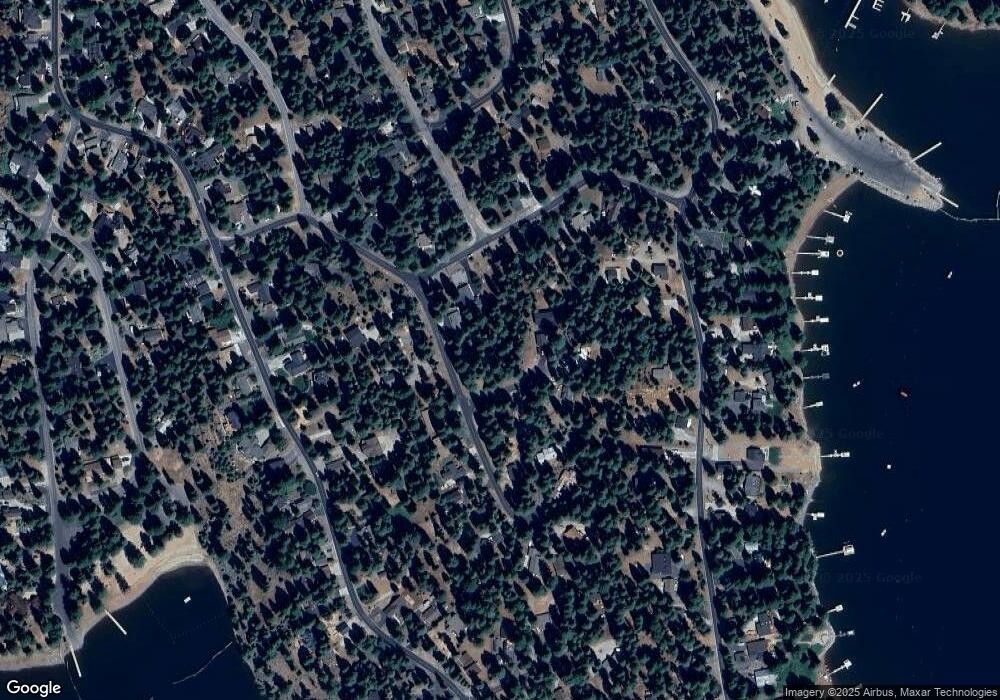
1218 White Fir Rd Westwood, CA 96137
Estimated Value: $373,653 - $495,000
3
Beds
2
Baths
1,512
Sq Ft
$287/Sq Ft
Est. Value
About This Home
This home is located at 1218 White Fir Rd, Westwood, CA 96137 and is currently estimated at $434,663, approximately $287 per square foot. 1218 White Fir Rd is a home located in Plumas County.
Ownership History
Date
Name
Owned For
Owner Type
Purchase Details
Closed on
Dec 18, 2024
Sold by
Behrendt David K
Bought by
Behrendt Michelle
Current Estimated Value
Purchase Details
Closed on
Dec 22, 2014
Sold by
Behrendt Michelle
Bought by
Behrendt David K
Home Financials for this Owner
Home Financials are based on the most recent Mortgage that was taken out on this home.
Original Mortgage
$80,000
Interest Rate
3.96%
Mortgage Type
New Conventional
Create a Home Valuation Report for This Property
The Home Valuation Report is an in-depth analysis detailing your home's value as well as a comparison with similar homes in the area
Home Values in the Area
Average Home Value in this Area
Purchase History
| Date | Buyer | Sale Price | Title Company |
|---|---|---|---|
| Behrendt Michelle | -- | Cal Sierra Title | |
| Behrendt David K | -- | Cal Sierra Title Company | |
| Behrendt David K | $165,000 | Cal Sierra Title Company |
Source: Public Records
Mortgage History
| Date | Status | Borrower | Loan Amount |
|---|---|---|---|
| Previous Owner | Behrendt David K | $80,000 |
Source: Public Records
Tax History Compared to Growth
Tax History
| Year | Tax Paid | Tax Assessment Tax Assessment Total Assessment is a certain percentage of the fair market value that is determined by local assessors to be the total taxable value of land and additions on the property. | Land | Improvement |
|---|---|---|---|---|
| 2025 | $2,680 | $198,296 | $48,070 | $150,226 |
| 2023 | $2,680 | $190,598 | $46,204 | $144,394 |
| 2022 | $2,470 | $186,862 | $45,299 | $141,563 |
| 2021 | $2,262 | $183,199 | $44,411 | $138,788 |
| 2020 | $2,308 | $181,321 | $43,956 | $137,365 |
| 2019 | $2,267 | $177,767 | $43,095 | $134,672 |
| 2018 | $2,182 | $174,282 | $42,250 | $132,032 |
| 2017 | $2,172 | $170,866 | $41,422 | $129,444 |
| 2016 | $2,021 | $167,516 | $40,610 | $126,906 |
| 2015 | $1,997 | $165,000 | $40,000 | $125,000 |
| 2014 | $1,095 | $77,420 | $17,329 | $60,091 |
Source: Public Records
Map
Nearby Homes
- 1216 Lynx Rd
- 1220 Lynx Rd
- 1130 Clifford Dr
- 1155 Lake Ridge Rd
- 1210 Hidden Beach Rd
- 1283 Lassen View Dr
- 945 Lassen View Dr
- 1276 Lassen View Dr
- 1113 Fairway Pines Rd
- 1117 Peninsula Dr
- 1260 Peninsula Dr
- 1108 Clifford Dr
- 1131 Lake Ridge Rd
- 1110 Lake Ridge Rd
- 911 Peninsula Dr
- 910 Clifford Dr
- 911 Clifford Dr
- 814 Lake Ridge Rd
- 1142 Lake Ridge Rd
- 834 Lake Ridge Rd
- 1218 White Fir Rd
- 1220 White Fir Rd
- 1216 White Fir Rd
- 1222 White Fir Rd
- 1228 White Fir Rd
- 1220 White Fir Trail
- 1215 Peninsula Dr
- 1211 Peninsula Dr
- 1208 White Fir Trail
- 1214 White Fir Rd
- 1217 Peninsula Dr
- 1230 White Fir Rd
- 1226 White Fir Rd
- 1212 White Fir Rd
- 1232 White Fir Rd
- 1219 Peninsula Dr
- 1206 White Fir Rd
- 1207 Peninsula Dr
- 1235 White Fir Rd
- 1234 White Fir Rd
