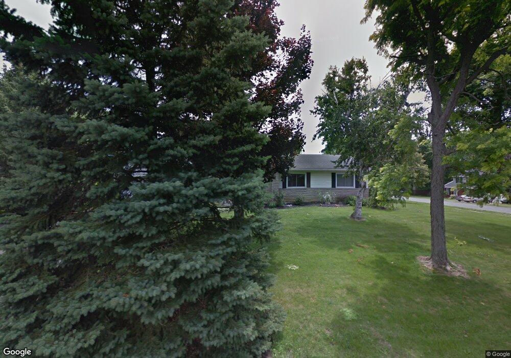
12180 Pamela Dr Kenton, OH 43326
Estimated Value: $232,999 - $284,000
4
Beds
3
Baths
1,492
Sq Ft
$175/Sq Ft
Est. Value
About This Home
This home is located at 12180 Pamela Dr, Kenton, OH 43326 and is currently estimated at $261,000, approximately $174 per square foot. 12180 Pamela Dr is a home located in Hardin County with nearby schools including Kenton Elementary School, Kenton Middle School, and Kenton High School.
Ownership History
Date
Name
Owned For
Owner Type
Purchase Details
Closed on
Sep 12, 2022
Sold by
Billenstein Jeffry D and Billenstein Leisha A
Bought by
Lightner Nathan
Current Estimated Value
Home Financials for this Owner
Home Financials are based on the most recent Mortgage that was taken out on this home.
Original Mortgage
$154,400
Outstanding Balance
$140,162
Interest Rate
5.22%
Mortgage Type
New Conventional
Estimated Equity
$120,838
Purchase Details
Closed on
Sep 23, 2009
Sold by
Ferguson Josep E and Ferguson Linda K
Bought by
Billenstein Jeffry D and Billenstein Leisha A
Home Financials for this Owner
Home Financials are based on the most recent Mortgage that was taken out on this home.
Original Mortgage
$145,000
Interest Rate
5%
Mortgage Type
Adjustable Rate Mortgage/ARM
Purchase Details
Closed on
Jul 16, 1987
Create a Home Valuation Report for This Property
The Home Valuation Report is an in-depth analysis detailing your home's value as well as a comparison with similar homes in the area
Home Values in the Area
Average Home Value in this Area
Purchase History
| Date | Buyer | Sale Price | Title Company |
|---|---|---|---|
| Lightner Nathan | -- | -- | |
| Billenstein Jeffry D | $145,000 | None Available | |
| -- | $82,000 | -- |
Source: Public Records
Mortgage History
| Date | Status | Borrower | Loan Amount |
|---|---|---|---|
| Open | Lightner Nathan | $154,400 | |
| Previous Owner | Billenstein Jeffry D | $145,000 |
Source: Public Records
Tax History Compared to Growth
Tax History
| Year | Tax Paid | Tax Assessment Tax Assessment Total Assessment is a certain percentage of the fair market value that is determined by local assessors to be the total taxable value of land and additions on the property. | Land | Improvement |
|---|---|---|---|---|
| 2024 | $2,540 | $60,230 | $12,980 | $47,250 |
| 2023 | $2,540 | $60,230 | $12,980 | $47,250 |
| 2022 | $2,434 | $50,020 | $6,350 | $43,670 |
| 2021 | $2,323 | $50,020 | $6,350 | $43,670 |
| 2020 | $2,015 | $50,020 | $6,350 | $43,670 |
| 2019 | $1,575 | $40,540 | $6,050 | $34,490 |
| 2018 | $1,576 | $40,540 | $6,050 | $34,490 |
| 2017 | $1,553 | $40,540 | $6,050 | $34,490 |
| 2016 | $1,503 | $41,290 | $5,920 | $35,370 |
| 2015 | $1,479 | $41,290 | $5,920 | $35,370 |
| 2014 | $762 | $41,290 | $5,920 | $35,370 |
| 2013 | $857 | $44,450 | $5,920 | $38,530 |
Source: Public Records
Map
Nearby Homes
- 11896 Parklane Dr
- 920 Cooper St
- 115 Scioto St
- 1 C Ct
- 79 Broadway St
- 39 Grape St
- 530 E Franklin St
- 513 E Franklin St
- 510 Decatur St
- 508 Decatur St
- 324 Stone Hedge Ln Unit 324
- 509 E Carrol St
- 104 Oak Ln Unit 15
- 121 S High St
- 13450 State Route 292
- 0 N Barron St
- 503 Jennings St
- 777 Maydoll Dr
- 0 Gilmore St
- 639 S Main St
- 12160 Pamela Dr
- 12173 Pamela Dr
- 12193 Pamela Dr
- 12205 Pamela Dr
- 12694 Deborah Dr
- 12146 Pamela Dr
- 12674 Deborah Dr
- 12129 Pamela Dr
- 16326 County Road 144
- 12656 Deborah Dr
- 12235 Pamela Dr
- 12270 Pamela Dr
- 12641 Deborah Dr
- 12107 Pamela Dr
- 16362 County Road 144
- 12257 Pamela Dr
- 12624 Deborah Dr
- 16382 Cr
- 16382 County Road 144