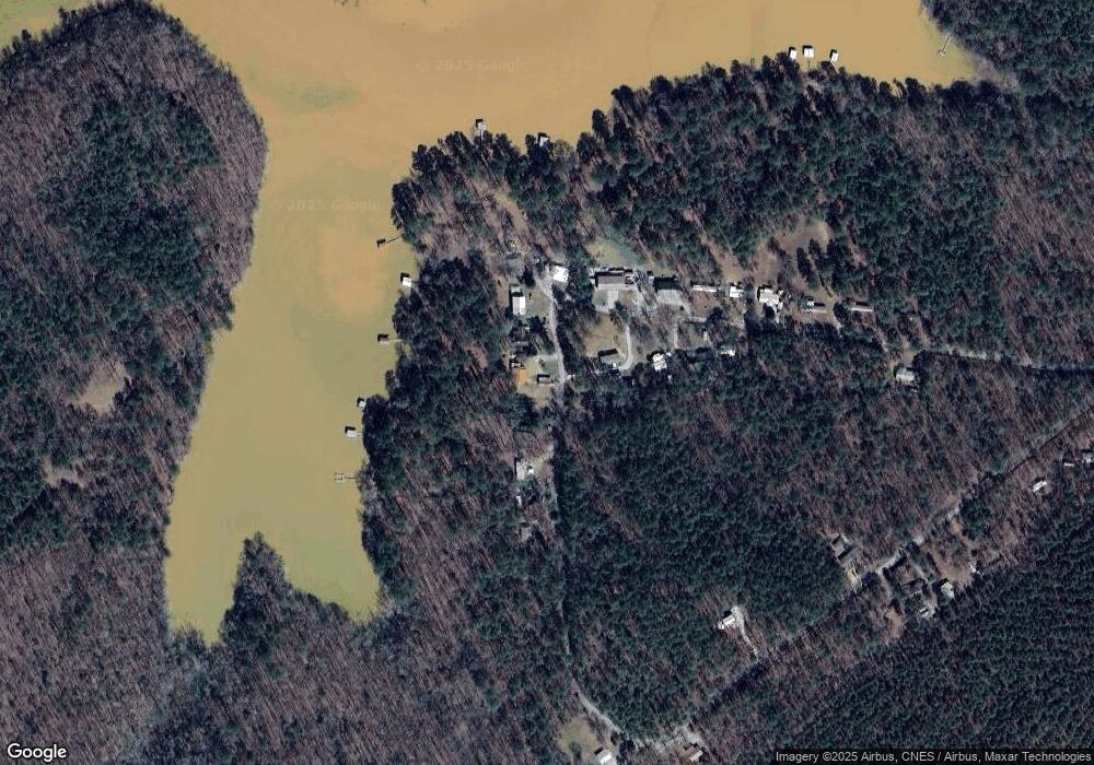
1219 Lbk Cir Tignall, GA 30668
Estimated Value: $248,860 - $391,000
3
Beds
2
Baths
1,797
Sq Ft
$187/Sq Ft
Est. Value
About This Home
This home is located at 1219 Lbk Cir, Tignall, GA 30668 and is currently estimated at $335,715, approximately $186 per square foot. 1219 Lbk Cir is a home located in Lincoln County with nearby schools including Lincoln County Elementary School, Lincoln County Middle School, and Lincoln County High School.
Ownership History
Date
Name
Owned For
Owner Type
Purchase Details
Closed on
Jul 25, 2018
Sold by
Paul Rain
Bought by
Goins Robert Christopher
Current Estimated Value
Purchase Details
Closed on
Jun 4, 2004
Sold by
Rain Gail
Bought by
Rain Paul K
Purchase Details
Closed on
Dec 6, 2001
Sold by
Murphy Murphy J and Murphy Norma J
Bought by
Rain Paul and Rain Gail
Purchase Details
Closed on
Nov 19, 1998
Sold by
Murphy Murphy J and Murphy Norma
Bought by
Murphy Murphy J and Murphy Norma
Purchase Details
Closed on
Aug 3, 1995
Sold by
Suggs Merlin H
Bought by
Murphy J Steve
Purchase Details
Closed on
Nov 14, 1991
Sold by
Allgood Kenneth
Bought by
Suggs Merlin H
Purchase Details
Closed on
Dec 30, 1971
Sold by
Cornell Mrs Annie Lou
Bought by
Allgood Kenneth
Create a Home Valuation Report for This Property
The Home Valuation Report is an in-depth analysis detailing your home's value as well as a comparison with similar homes in the area
Home Values in the Area
Average Home Value in this Area
Purchase History
| Date | Buyer | Sale Price | Title Company |
|---|---|---|---|
| Goins Robert Christopher | -- | -- | |
| Goins Robert Christopher | $129,000 | -- | |
| Rain Paul K | -- | -- | |
| Rain Paul | $78,000 | -- | |
| Murphy Murphy J | -- | -- | |
| Murphy J Steve | $52,500 | -- | |
| Suggs Merlin H | $44,500 | -- | |
| Allgood Kenneth | $1,500 | -- |
Source: Public Records
Tax History Compared to Growth
Tax History
| Year | Tax Paid | Tax Assessment Tax Assessment Total Assessment is a certain percentage of the fair market value that is determined by local assessors to be the total taxable value of land and additions on the property. | Land | Improvement |
|---|---|---|---|---|
| 2025 | $2,253 | $80,132 | $19,200 | $60,932 |
| 2024 | $2,208 | $75,412 | $19,200 | $56,212 |
| 2023 | $1,963 | $66,100 | $19,200 | $46,900 |
| 2022 | $1,832 | $64,700 | $19,200 | $45,500 |
| 2021 | $1,896 | $60,876 | $19,200 | $41,676 |
| 2020 | $1,757 | $47,876 | $19,200 | $28,676 |
| 2019 | $1,763 | $47,876 | $19,200 | $28,676 |
| 2018 | $1,662 | $52,876 | $24,000 | $28,876 |
| 2017 | $1,655 | $52,660 | $24,000 | $28,660 |
| 2016 | $1,762 | $52,660 | $24,000 | $28,660 |
| 2015 | -- | $52,660 | $24,000 | $28,660 |
| 2014 | -- | $57,160 | $24,000 | $33,160 |
| 2013 | -- | $57,160 | $24,000 | $33,160 |
Source: Public Records
Map
Nearby Homes
- Lot 14b Lbk Cir
- LOT 31C Lbk Rd
- 0 Lbk Rd Unit 545965
- 0 Lincolnton Hwy Unit 10656813
- 0 Cade Cir Unit 10610520
- 1485 Broad River Scenic Dr
- Lot 74 Bramlett Cir
- Lot 71 Bramlett Cir
- Lot 75 Bramlett Cir
- 2852 Bramlett Dr
- LOT 74 Bramlett Dr
- 0 Cooter Creek Unit LotWP001 22764301
- 3706 Cooter Creek Rd
- 2786 Chapel Dr
- 0 Windward Harbor Dr Unit 7659681
- 0 Windward Harbor Dr Unit 10616804
- 2734 Windward Harbor Dr
- 2150 Bobby Brown St Pk Rd
- 2150 Bobby Brown State Park Rd
- 2164 Lincolnton Hwy
