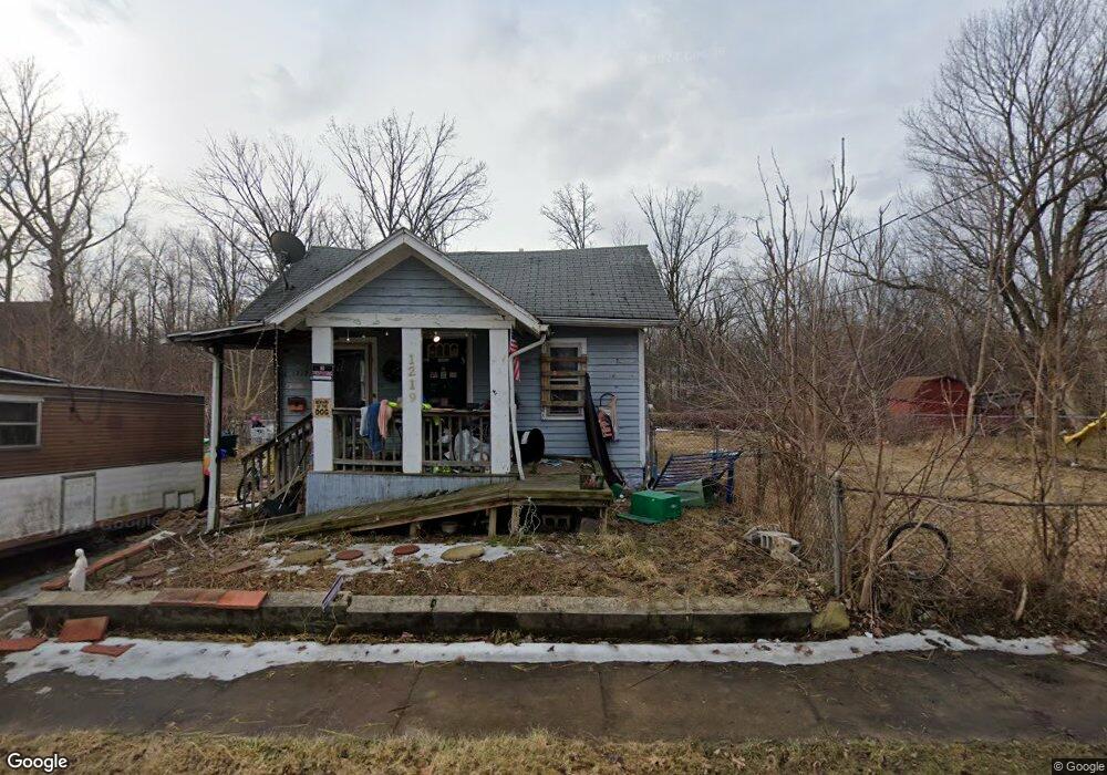
1219 Markham St Flint, MI 48507
Westgate NeighborhoodEstimated Value: $42,000 - $52,572
2
Beds
1
Bath
724
Sq Ft
$65/Sq Ft
Est. Value
About This Home
This home is located at 1219 Markham St, Flint, MI 48507 and is currently estimated at $47,143, approximately $65 per square foot. 1219 Markham St is a home located in Genesee County with nearby schools including Neithercut Elementary School, Flint Southwestern Classical Academy, and International Academy of Flint (K-12).
Ownership History
Date
Name
Owned For
Owner Type
Purchase Details
Closed on
Jul 10, 2017
Sold by
Mclark Michael
Bought by
Payne Amanda
Current Estimated Value
Purchase Details
Closed on
Feb 18, 2016
Sold by
Newsom Rachael I
Bought by
Clark Michael M
Purchase Details
Closed on
Feb 14, 2014
Sold by
Justus Jason Robert Joseph
Bought by
Newsom Rachael Irene
Purchase Details
Closed on
Jul 30, 2010
Sold by
Wiley Carol A and Wandrie Margaret E
Bought by
Justus Jason Robert Joseph
Purchase Details
Closed on
Jan 4, 2002
Sold by
Wandrie Margaret E
Bought by
Wandrie Margaret E and Wiley Carol A
Create a Home Valuation Report for This Property
The Home Valuation Report is an in-depth analysis detailing your home's value as well as a comparison with similar homes in the area
Home Values in the Area
Average Home Value in this Area
Purchase History
| Date | Buyer | Sale Price | Title Company |
|---|---|---|---|
| Payne Amanda | $1,000 | None Available | |
| Clark Michael M | $500 | None Available | |
| Newsom Rachael Irene | -- | None Available | |
| Justus Jason Robert Joseph | -- | None Available | |
| Wandrie Margaret E | -- | -- |
Source: Public Records
Tax History
| Year | Tax Paid | Tax Assessment Tax Assessment Total Assessment is a certain percentage of the fair market value that is determined by local assessors to be the total taxable value of land and additions on the property. | Land | Improvement |
|---|---|---|---|---|
| 2025 | $785 | $15,900 | $0 | $0 |
| 2024 | $718 | $16,600 | $0 | $0 |
| 2023 | $709 | $13,000 | $0 | $0 |
| 2022 | $0 | $10,800 | $0 | $0 |
| 2021 | $732 | $10,100 | $0 | $0 |
| 2020 | $668 | $10,100 | $0 | $0 |
| 2019 | $676 | $10,200 | $0 | $0 |
| 2018 | $1,501 | $8,100 | $0 | $0 |
| 2017 | $984 | $0 | $0 | $0 |
| 2016 | $596 | $0 | $0 | $0 |
| 2015 | -- | $0 | $0 | $0 |
| 2014 | -- | $0 | $0 | $0 |
| 2012 | -- | $8,800 | $0 | $0 |
Source: Public Records
Map
Nearby Homes
- 1210 Pinehurst Ave
- 1122 Markham St
- 1318 Ingleside Ave
- 1234 Huron St
- 1310 Huron St
- 1627 Blackberry Ln
- 1015 Alvord Ave
- 912 Markham St
- 1826 Greenbrook Ln
- 4418 Brunswick Ave
- 846 W Hemphill Rd
- 4502 Huckleberry Ln
- 1247 Catalina Dr
- 1410 Berrywood Ln
- 1028 Campbell St
- 829 Clinton St
- 845 Alvord Ave
- 1130 W Atherton Rd
- Lot 57 Walnut Creek Dr
- 1225 Waldman Ave
- 1229 Markham St
- 1233 Markham St
- 1201 Markham St
- 1218 Markham St
- 1206 Markham St
- 1224 Markham St
- 1230 Markham St
- 1202 Markham St
- 1234 Markham St
- 1255 Markham St
- 1238 Markham St
- 1219 Pinehurst Ave
- 1125 Markham St
- 1305 Markham St
- 1209 Pinehurst Ave
- 1221 Pinehurst Ave
- 1113 Markham St
- 1205 Pinehurst Ave
- 1233 Pinehurst Ave
- 1201 Pinehurst Ave
Your Personal Tour Guide
Ask me questions while you tour the home.