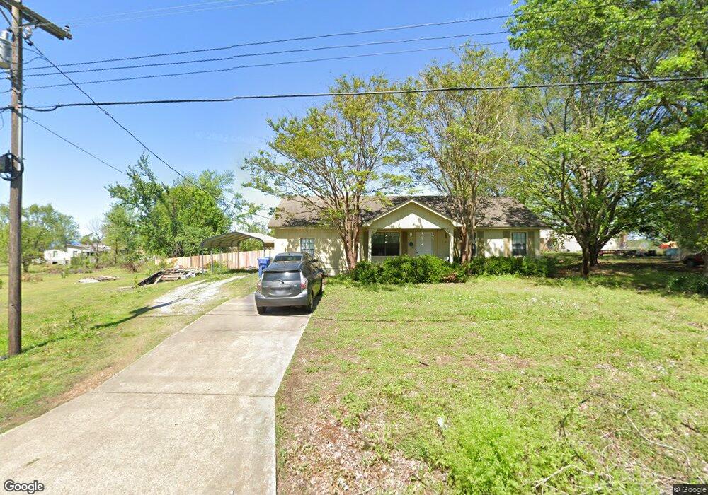
1219 Old Memphis Rd Covington, TN 38019
Estimated Value: $185,000 - $254,000
Studio
2
Baths
1,628
Sq Ft
$137/Sq Ft
Est. Value
About This Home
This home is located at 1219 Old Memphis Rd, Covington, TN 38019 and is currently estimated at $222,443, approximately $136 per square foot. 1219 Old Memphis Rd is a home located in Tipton County with nearby schools including Crestview Elementary School, Crestview Middle School, and Covington High School.
Ownership History
Date
Name
Owned For
Owner Type
Purchase Details
Closed on
Mar 17, 2005
Sold by
Mathis Sherrie R
Bought by
Phillips Amy M
Current Estimated Value
Home Financials for this Owner
Home Financials are based on the most recent Mortgage that was taken out on this home.
Original Mortgage
$82,320
Outstanding Balance
$48,952
Interest Rate
8.55%
Estimated Equity
$173,491
Purchase Details
Closed on
May 27, 1988
Bought by
Mathis Ronald Dale and Sherrie Renee
Purchase Details
Closed on
Apr 28, 1987
Bought by
Curtis-Ballard Builders
Purchase Details
Closed on
Jan 3, 1986
Create a Home Valuation Report for This Property
The Home Valuation Report is an in-depth analysis detailing your home's value as well as a comparison with similar homes in the area
Purchase History
| Date | Buyer | Sale Price | Title Company |
|---|---|---|---|
| Phillips Amy M | $102,900 | -- | |
| Mathis Ronald Dale | $39,500 | -- | |
| Curtis-Ballard Builders | -- | -- | |
| -- | -- | -- |
Source: Public Records
Mortgage History
| Date | Status | Borrower | Loan Amount |
|---|---|---|---|
| Open | Not Available | $82,320 |
Source: Public Records
Tax History
| Year | Tax Paid | Tax Assessment Tax Assessment Total Assessment is a certain percentage of the fair market value that is determined by local assessors to be the total taxable value of land and additions on the property. | Land | Improvement |
|---|---|---|---|---|
| 2025 | $539 | $35,400 | $4,875 | $30,525 |
| 2024 | $539 | $35,400 | $4,875 | $30,525 |
| 2023 | $539 | $35,400 | $4,875 | $30,525 |
| 2022 | $507 | $24,850 | $3,575 | $21,275 |
| 2021 | $507 | $24,850 | $3,575 | $21,275 |
| 2020 | $507 | $24,850 | $3,575 | $21,275 |
| 2019 | $556 | $22,975 | $2,750 | $20,225 |
| 2018 | $556 | $22,975 | $2,750 | $20,225 |
| 2017 | $556 | $22,975 | $2,750 | $20,225 |
| 2016 | $556 | $22,975 | $2,750 | $20,225 |
| 2015 | $555 | $22,975 | $2,750 | $20,225 |
| 2014 | $555 | $22,982 | $0 | $0 |
Source: Public Records
Map
Nearby Homes
- 605 Junior Dr
- 375 Mueller Brass Rd
- 0 Mueller Brass Rd
- 4501 Mueller Brass Rd Unit B
- 273 Daniel Dr
- 414 Hyde Park Cir
- 43 Hastings Way
- 0 Antioch Hwy 51 Rd Unit RTC3137689
- 0 Hwy 179 Hwy Unit 10209247
- 0 Oil Mill Rd Unit 10212149
- 502 James Ave
- 597 Walton Loop
- 527 Sunnyside Rd
- 2847 Holly Grove Rd
- 635 Oakview Ave
- 2030 S Main St
- 505 Lennanwood Ave
- 503 Terrace Dr
- 866 Deen Rd
- 513 Garland Ave
Your Personal Tour Guide
Ask me questions while you tour the home.