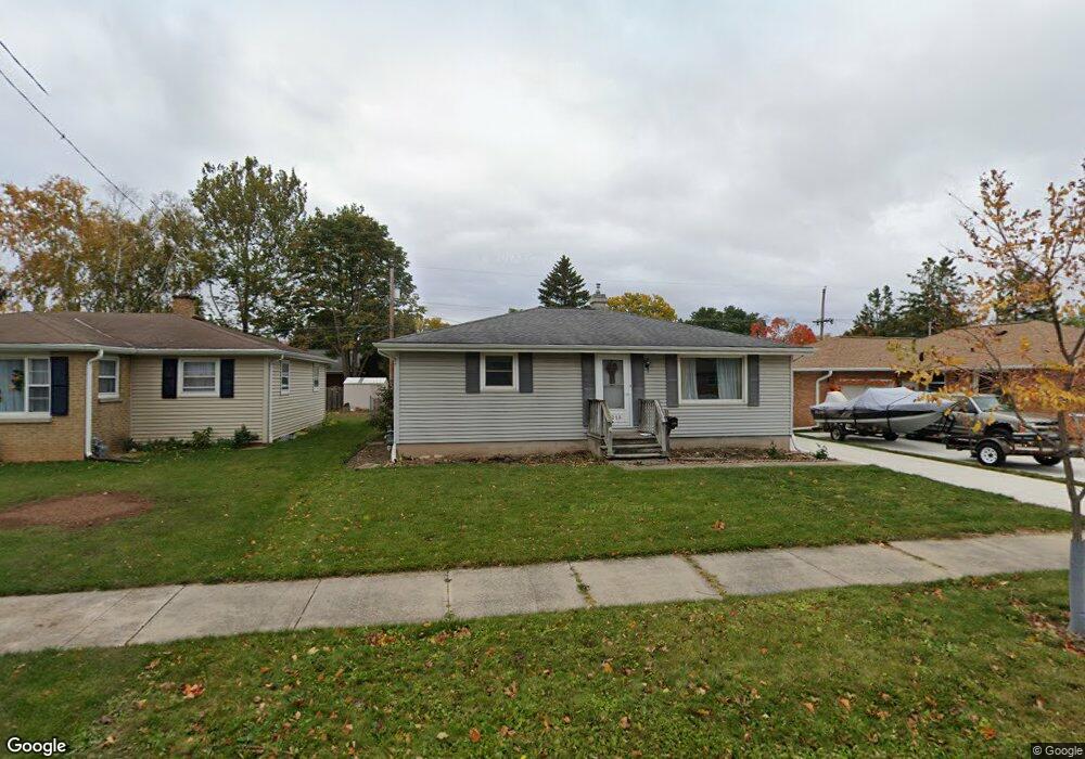
1219 Thrush St Green Bay, WI 54303
Mather Heights NeighborhoodEstimated Value: $248,000 - $270,000
3
Beds
2
Baths
1,140
Sq Ft
$226/Sq Ft
Est. Value
About This Home
This home is located at 1219 Thrush St, Green Bay, WI 54303 and is currently estimated at $257,332, approximately $225 per square foot. 1219 Thrush St is a home located in Brown County with nearby schools including Chappell Elementary School, Franklin Middle School, and West High School.
Ownership History
Date
Name
Owned For
Owner Type
Purchase Details
Closed on
Oct 30, 2002
Sold by
Busse Jason L and Busse Jessica A
Bought by
Mcintosh Scott P and Mcintosh Regina L
Current Estimated Value
Home Financials for this Owner
Home Financials are based on the most recent Mortgage that was taken out on this home.
Original Mortgage
$121,400
Interest Rate
6.23%
Create a Home Valuation Report for This Property
The Home Valuation Report is an in-depth analysis detailing your home's value as well as a comparison with similar homes in the area
Home Values in the Area
Average Home Value in this Area
Purchase History
| Date | Buyer | Sale Price | Title Company |
|---|---|---|---|
| Mcintosh Scott P | $121,400 | Bay Title & Abstract |
Source: Public Records
Mortgage History
| Date | Status | Borrower | Loan Amount |
|---|---|---|---|
| Previous Owner | Mcintosh Scott P | $121,400 |
Source: Public Records
Tax History Compared to Growth
Tax History
| Year | Tax Paid | Tax Assessment Tax Assessment Total Assessment is a certain percentage of the fair market value that is determined by local assessors to be the total taxable value of land and additions on the property. | Land | Improvement |
|---|---|---|---|---|
| 2024 | $3,167 | $145,200 | $17,100 | $128,100 |
| 2023 | $3,126 | $145,200 | $17,100 | $128,100 |
| 2022 | $3,059 | $145,200 | $17,100 | $128,100 |
| 2021 | $3,103 | $111,800 | $13,700 | $98,100 |
| 2020 | $3,052 | $111,800 | $13,700 | $98,100 |
| 2019 | $3,137 | $111,800 | $13,700 | $98,100 |
| 2018 | $2,843 | $111,800 | $13,700 | $98,100 |
| 2017 | $3,151 | $111,800 | $13,700 | $98,100 |
| 2016 | $2,623 | $111,800 | $13,700 | $98,100 |
| 2015 | $2,715 | $111,800 | $13,700 | $98,100 |
| 2014 | $2,473 | $111,800 | $13,700 | $98,100 |
| 2013 | $2,473 | $111,800 | $13,700 | $98,100 |
Source: Public Records
Map
Nearby Homes
- 1037 Royal Blvd
- 1037 Park St
- 1013 N Locust St
- 820 N Platten St
- 819 N Platten St
- 1036 Neville Ave
- 717 Park St
- 710 Royal Blvd
- 709 N Locust St
- 1261 Mather St
- 1193 Bond St
- 412 Saratoga St
- 1095 Minahan St
- 1280 Division St Unit 1282
- 1125 Elmore St
- 1169 Division St
- 614 Columbia Ave
- 1751 Lenwood Ave
- 425 Columbia Ave
- 515 Northern Ave
- 1225 Thrush St
- 1215 Thrush St
- 1211 Thrush St
- 1220 N Platten St
- 1229 Thrush St
- 1216 N Platten St
- 1226 N Platten St
- 1212 N Platten St
- 1228 N Platten St
- 1207 Thrush St
- 1218 Thrush St
- 1224 Thrush St
- 1214 Thrush St
- 1206 N Platten St
- 1347 Syringa Blvd
- 1231 Thrush St Unit 1233
- 1349 Syringa Blvd
- 1230 Thrush St
- 1201 Thrush St
- 1208 Thrush St