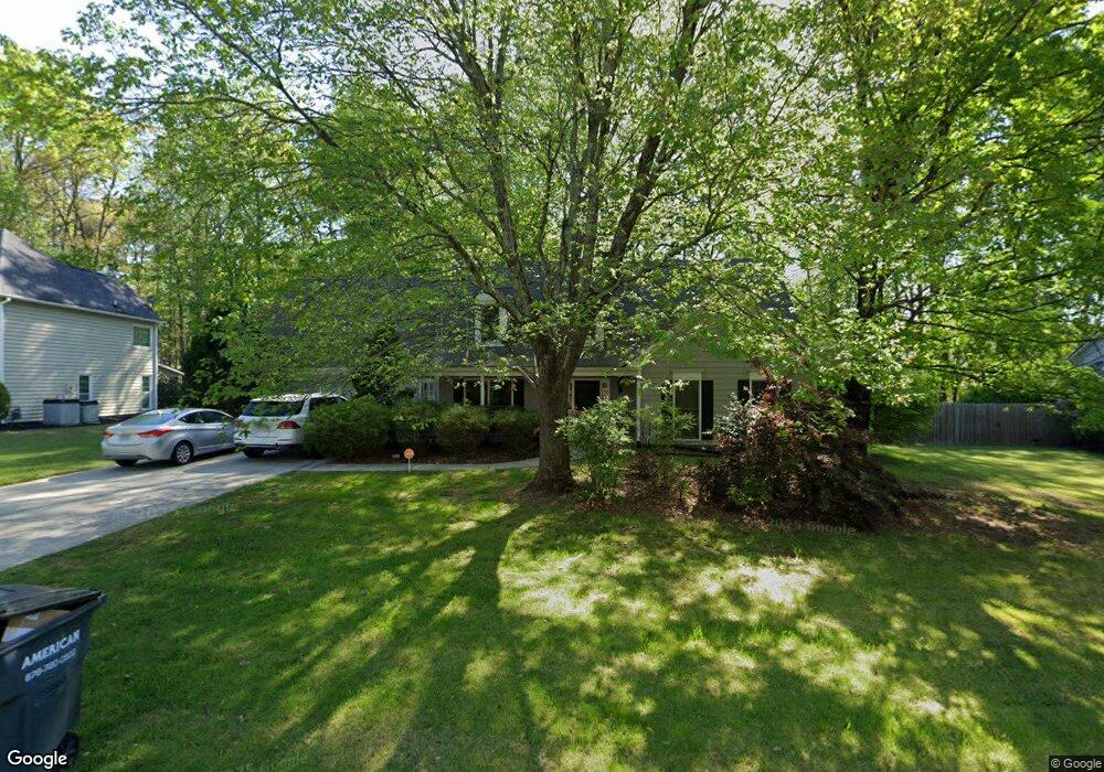
1219 Wynford Colony SW Unit 1 Marietta, GA 30064
West Cobb NeighborhoodEstimated Value: $395,000 - $444,000
3
Beds
3
Baths
2,232
Sq Ft
$190/Sq Ft
Est. Value
About This Home
This home is located at 1219 Wynford Colony SW Unit 1, Marietta, GA 30064 and is currently estimated at $424,251, approximately $190 per square foot. 1219 Wynford Colony SW Unit 1 is a home located in Cobb County with nearby schools including Dowell Elementary School, Lovinggood Middle School, and Hillgrove High School.
Ownership History
Date
Name
Owned For
Owner Type
Purchase Details
Closed on
Dec 4, 2012
Sold by
Waldrip Marjorie
Bought by
Colfin Ai Ga 1 Llc
Current Estimated Value
Purchase Details
Closed on
May 31, 2005
Sold by
Ruden George and Ruden Joan
Bought by
Waldrip Marjorie
Home Financials for this Owner
Home Financials are based on the most recent Mortgage that was taken out on this home.
Original Mortgage
$19,982
Interest Rate
5.66%
Mortgage Type
Stand Alone Refi Refinance Of Original Loan
Create a Home Valuation Report for This Property
The Home Valuation Report is an in-depth analysis detailing your home's value as well as a comparison with similar homes in the area
Home Values in the Area
Average Home Value in this Area
Purchase History
| Date | Buyer | Sale Price | Title Company |
|---|---|---|---|
| Colfin Ai Ga 1 Llc | $135,100 | -- | |
| Waldrip Marjorie | $199,900 | -- |
Source: Public Records
Mortgage History
| Date | Status | Borrower | Loan Amount |
|---|---|---|---|
| Previous Owner | Waldrip Marjorie | $19,982 |
Source: Public Records
Tax History Compared to Growth
Tax History
| Year | Tax Paid | Tax Assessment Tax Assessment Total Assessment is a certain percentage of the fair market value that is determined by local assessors to be the total taxable value of land and additions on the property. | Land | Improvement |
|---|---|---|---|---|
| 2024 | $5,390 | $178,788 | $34,000 | $144,788 |
| 2023 | $4,731 | $156,928 | $34,000 | $122,928 |
| 2022 | $3,553 | $117,060 | $26,000 | $91,060 |
| 2021 | $3,373 | $111,128 | $21,600 | $89,528 |
| 2020 | $3,092 | $101,888 | $21,600 | $80,288 |
| 2019 | $3,092 | $101,888 | $21,600 | $80,288 |
| 2018 | $3,092 | $101,888 | $21,600 | $80,288 |
| 2017 | $2,458 | $85,496 | $21,600 | $63,896 |
| 2016 | $2,458 | $85,496 | $21,600 | $63,896 |
| 2015 | $1,986 | $67,428 | $21,660 | $45,768 |
| 2014 | $2,003 | $67,428 | $0 | $0 |
Source: Public Records
Map
Nearby Homes
- 1234 Wynford Colony SW
- 2866 Wynford Dr SW Unit 2
- 1518 Sage Ridge Dr
- 1237 Wynford Woods SW
- 1209 Wilkes Way SW Unit 1
- 3006 Coffman Ct SW
- 1311 Bustling Ln SW
- 1313 Bustling Ln SW
- 1004 Villa Rica Rd SW
- 2418 Southern Oak Dr SW
- 1567 Vine Leaf Dr
- 2673 Altony Dr SW
- 1765 Dew Place
- 3001 Ashland Ct SW
- 1884 Dovonshire Rd SW
- 1204 Commonwealth Ave SW
- 895 Ovalene Ln SW
- 1214 Bonshaw Trail
- 1221 Wynford Colony SW
- 1217 Wynford Colony SW
- 1220 Wynford Colony SW
- 1216 Wynford Colony S W
- 1216 Wynford Colony SW
- 1223 Wynford Colony SW
- 1215 Wynford Colony SW Unit 1215
- 1215 Wynford Colony SW Unit 1
- 1215 Wynford Colony SW
- 1356 Brody Dr
- 2701 Wynford Ave SW
- 1212 Wynford Colony SW Unit 1
- 1400 W Sandtown Rd SW
- 1225 Wynford Colony SW
- 1213 Wynford Colony SW
- 1362 Brody Dr Unit 11
- 1362 Brody Dr
- 2890 Wynford Dr SW
- 2703 Wynford Ave SW
- 2703 Wynford Ave SW Unit 1