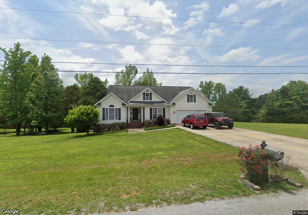
122 Amberwood Dr McMinnville, TN 37110
Estimated Value: $235,323 - $312,000
--
Bed
2
Baths
1,279
Sq Ft
$222/Sq Ft
Est. Value
About This Home
This home is located at 122 Amberwood Dr, McMinnville, TN 37110 and is currently estimated at $283,581, approximately $221 per square foot. 122 Amberwood Dr is a home located in Warren County with nearby schools including Hickory Creek Elementary School, Warren County Middle School, and Warren County High School.
Ownership History
Date
Name
Owned For
Owner Type
Purchase Details
Closed on
Oct 11, 2016
Sold by
Vinson Brian T
Bought by
Brandt Christy Dianne
Current Estimated Value
Purchase Details
Closed on
Jun 11, 2004
Sold by
Agnes Davis
Bought by
Totherow and Denise
Purchase Details
Closed on
Jun 9, 2004
Bought by
Totherow Jim and Totherow Denise
Purchase Details
Closed on
Dec 15, 1997
Bought by
Davis Carlon and Davis Agnes A
Purchase Details
Closed on
Jan 9, 1995
Bought by
Prosser Bob and Prosser David
Purchase Details
Closed on
Dec 22, 1989
Bought by
Davis Carlon and Davis Agnes
Create a Home Valuation Report for This Property
The Home Valuation Report is an in-depth analysis detailing your home's value as well as a comparison with similar homes in the area
Home Values in the Area
Average Home Value in this Area
Purchase History
| Date | Buyer | Sale Price | Title Company |
|---|---|---|---|
| Brandt Christy Dianne | -- | -- | |
| Brandt Christy Dianne | -- | -- | |
| Totherow | $6,750 | -- | |
| Totherow Jim | $6,800 | -- | |
| Davis Carlon | $4,000 | -- | |
| Prosser Bob | $7,000 | -- | |
| Davis Carlon | -- | -- |
Source: Public Records
Tax History Compared to Growth
Tax History
| Year | Tax Paid | Tax Assessment Tax Assessment Total Assessment is a certain percentage of the fair market value that is determined by local assessors to be the total taxable value of land and additions on the property. | Land | Improvement |
|---|---|---|---|---|
| 2025 | $715 | $58,750 | $0 | $0 |
| 2024 | $715 | $36,350 | $4,125 | $32,225 |
| 2023 | $715 | $36,350 | $4,125 | $32,225 |
| 2022 | $715 | $36,350 | $4,125 | $32,225 |
| 2021 | $715 | $36,350 | $4,125 | $32,225 |
| 2020 | $570 | $36,350 | $4,125 | $32,225 |
| 2019 | $651 | $28,975 | $3,600 | $25,375 |
| 2018 | $570 | $28,975 | $3,600 | $25,375 |
| 2017 | $570 | $28,975 | $3,600 | $25,375 |
| 2016 | $570 | $28,975 | $3,600 | $25,375 |
| 2015 | $578 | $28,975 | $3,600 | $25,375 |
| 2014 | $562 | $28,975 | $3,600 | $25,375 |
| 2013 | $562 | $28,175 | $0 | $0 |
Source: Public Records
Map
Nearby Homes
- 84 Amberwood Dr
- 794 C Rody Rd
- 754 C Rody Rd
- 734 C Rody Rd
- 774 C Rody Rd
- 0 Love Rd Unit RTC3015742
- 924 Spring Valley Rd
- 0 Old Nashville Hwy Unit 240679
- 151 Spring Valley Rd
- 88 Castle St
- 70 Castle St
- 75 Cedar Crest Cir
- 308 Oak Tree Dr
- 557 Oak Tree Dr
- 115 Lakeview Trail
- 3510 Bybee Branch Rd
- 199 E Airport Dr
- 119 E Airport Dr
- 742 Laws Rd
- 381 Bethany Rd
- 115 Amberwood Dr
- 166 Amberwood Dr
- 147 Amberwood Dr
- 155 Oak Brook Dr
- 175 Amberwood Dr
- 255 Oak Brook Dr
- 60 Amberwood Dr
- 202 Amberwood Dr
- 205 Amberwood Dr
- 267 Oak Brook Dr
- 53 Oak Brook Dr
- 984 C Rody Rd
- 918 C Rody Rd
- 960 C Rody Rd
- 223 Amberwood Dr
- 896 C Rody Rd
- 574 C Rody Rd
- 1014 C Rody Rd
- 874 C Rody Rd
- 34 Oak Brook Dr