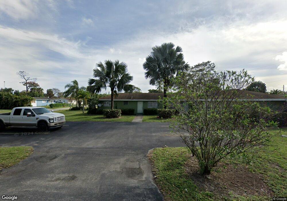
122 Avocado Ave West Palm Beach, FL 33413
Royal Palm Estates NeighborhoodEstimated Value: $540,596 - $796,000
--
Bed
3
Baths
2,530
Sq Ft
$256/Sq Ft
Est. Value
About This Home
This home is located at 122 Avocado Ave, West Palm Beach, FL 33413 and is currently estimated at $646,899, approximately $255 per square foot. 122 Avocado Ave is a home located in Palm Beach County with nearby schools including Benoist Farms Elementary School, Jeaga Middle School, and Royal Palm Beach High School.
Ownership History
Date
Name
Owned For
Owner Type
Purchase Details
Closed on
Dec 19, 2016
Sold by
Maghari Mohamed and Maghari Janet
Bought by
Mestre Maximino
Current Estimated Value
Purchase Details
Closed on
Mar 6, 2006
Sold by
Maghari Mohamed
Bought by
Maghari Mohamed and Maghari Janet
Home Financials for this Owner
Home Financials are based on the most recent Mortgage that was taken out on this home.
Original Mortgage
$180,000
Interest Rate
6.12%
Mortgage Type
New Conventional
Create a Home Valuation Report for This Property
The Home Valuation Report is an in-depth analysis detailing your home's value as well as a comparison with similar homes in the area
Home Values in the Area
Average Home Value in this Area
Purchase History
| Date | Buyer | Sale Price | Title Company |
|---|---|---|---|
| Mestre Maximino | $280,000 | Secure Land Title & Escrow S | |
| Maghari Mohamed | -- | None Available |
Source: Public Records
Mortgage History
| Date | Status | Borrower | Loan Amount |
|---|---|---|---|
| Previous Owner | Maghari Mohamed | $180,000 |
Source: Public Records
Tax History Compared to Growth
Tax History
| Year | Tax Paid | Tax Assessment Tax Assessment Total Assessment is a certain percentage of the fair market value that is determined by local assessors to be the total taxable value of land and additions on the property. | Land | Improvement |
|---|---|---|---|---|
| 2024 | $7,828 | $403,870 | -- | -- |
| 2023 | $7,632 | $378,410 | $183,000 | $228,985 |
| 2022 | $7,401 | $344,009 | $0 | $0 |
| 2021 | $6,916 | $312,735 | $132,000 | $180,735 |
| 2020 | $6,631 | $305,452 | $132,000 | $173,452 |
| 2019 | $6,269 | $280,689 | $132,000 | $148,689 |
| 2018 | $5,579 | $253,154 | $116,944 | $136,210 |
| 2017 | $5,048 | $216,333 | $77,963 | $138,370 |
| 2016 | $4,075 | $143,307 | $0 | $0 |
| 2015 | $3,867 | $130,279 | $0 | $0 |
| 2014 | $3,688 | $118,435 | $0 | $0 |
Source: Public Records
Map
Nearby Homes
- 5654 Papaya Rd
- 5692 Coconut Rd
- 5840 Banana Rd
- 291 Guava Ave
- 5801 Kumquat Rd
- 87 Pheasant Run Blvd
- 5555 Gun Club Rd
- 5271 Wallis Rd
- 166 Neva Dr
- 447 Tall Pines Rd
- 636 Snead Cir
- 0 Tropical Ave
- 5845 Gypsum Place
- 6262 Bischoff Rd
- 798 Quartz Terrace
- 6185 Gun Club Rd
- 805 Quartz Terrace
- 372 E Shadyside Cir
- 790 Sarazen Dr
- 6275 Bishoff Rd
- 5720 Banana Rd
- 5733 Coconut Rd
- 5721 Coconut Rd
- 123 Avocado Ave Unit 125
- 150 Avocado Ave
- 5702 Banana Rd
- 5711 Coconut Rd
- 135 Avocado Ave
- 5715 Banana Rd
- 165 Avocado Ave
- 5701 Coconut Rd
- 5779 Banana Rd
- 5690 Banana Rd
- 157 Avocado Ave
- 5681 Coconut Rd
- 5697 Banana Rd
- 5773 Coconut Rd
- 5682 Banana Rd
- 5782 Banana Rd
- 5773 Banana Rd