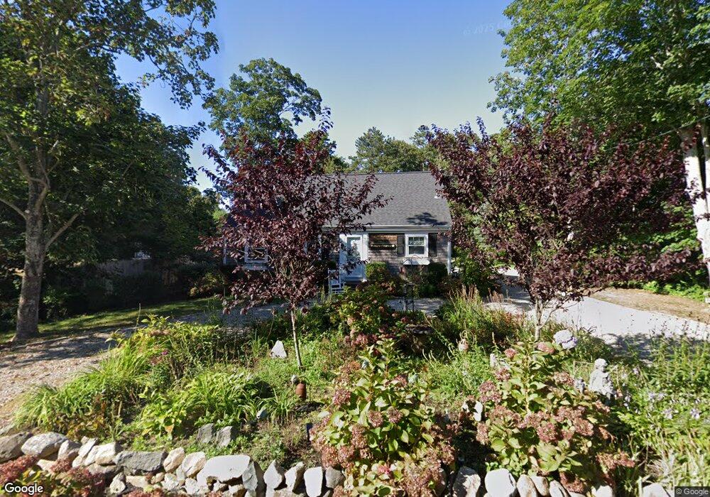
122 Beach St Dennis, MA 02638
Dennis Village NeighborhoodEstimated Value: $1,143,000 - $1,321,000
3
Beds
1
Bath
1,960
Sq Ft
$628/Sq Ft
Est. Value
About This Home
This home is located at 122 Beach St, Dennis, MA 02638 and is currently estimated at $1,231,595, approximately $628 per square foot. 122 Beach St is a home located in Barnstable County with nearby schools including Dennis-Yarmouth Regional High School.
Ownership History
Date
Name
Owned For
Owner Type
Purchase Details
Closed on
Mar 28, 2024
Sold by
Sullivan Owen M and Sullivan Eileen A
Bought by
Eileen A Sullivan Ret and Sullivan
Current Estimated Value
Purchase Details
Closed on
May 15, 2008
Sold by
York Edward M
Bought by
Sullivan Eileen A and Sullivan Owen M
Home Financials for this Owner
Home Financials are based on the most recent Mortgage that was taken out on this home.
Original Mortgage
$415,000
Interest Rate
5.91%
Mortgage Type
Purchase Money Mortgage
Create a Home Valuation Report for This Property
The Home Valuation Report is an in-depth analysis detailing your home's value as well as a comparison with similar homes in the area
Home Values in the Area
Average Home Value in this Area
Purchase History
| Date | Buyer | Sale Price | Title Company |
|---|---|---|---|
| Eileen A Sullivan Ret | -- | None Available | |
| Eileen A Sullivan Ret | -- | None Available | |
| Sullivan Eileen A | $510,000 | -- | |
| Sullivan Eileen A | $510,000 | -- |
Source: Public Records
Mortgage History
| Date | Status | Borrower | Loan Amount |
|---|---|---|---|
| Previous Owner | Sullivan Eileen A | $420,000 | |
| Previous Owner | Sullivan Eileen A | $415,000 | |
| Previous Owner | Sullivan Eileen A | $60,000 |
Source: Public Records
Tax History
| Year | Tax Paid | Tax Assessment Tax Assessment Total Assessment is a certain percentage of the fair market value that is determined by local assessors to be the total taxable value of land and additions on the property. | Land | Improvement |
|---|---|---|---|---|
| 2025 | $4,258 | $983,400 | $463,400 | $520,000 |
| 2024 | $4,146 | $944,400 | $445,700 | $498,700 |
| 2023 | $4,010 | $858,600 | $405,100 | $453,500 |
| 2022 | $3,927 | $701,200 | $365,000 | $336,200 |
| 2021 | $3,765 | $624,400 | $357,800 | $266,600 |
| 2020 | $3,977 | $652,000 | $400,700 | $251,300 |
| 2019 | $3,547 | $574,800 | $350,800 | $224,000 |
| 2018 | $16,076 | $545,300 | $333,900 | $211,400 |
| 2017 | $3,354 | $545,300 | $333,900 | $211,400 |
| 2016 | $3,317 | $507,900 | $333,900 | $174,000 |
| 2015 | $3,251 | $507,900 | $333,900 | $174,000 |
| 2014 | $3,105 | $489,000 | $347,300 | $141,700 |
Source: Public Records
Map
Nearby Homes
- 74 Robbins Cir
- 37 Johnson Ln
- 19 Whig St
- 25 Whig St
- 73 Pilgrim Rd
- 12 Dunes View Rd
- 19 Deacon Joseph Ln
- 59 Hope Ln
- 156 Shore Dr
- 645 Main St Back Lot
- 480 Main St
- 69 Horsefoot Path
- 94 Horsefoot Path
- 15 Signal Hill Dr
- 6 Thomas Ct
- 49 Rodoalph's Way
- 7 Collins Ave
- 35 Crown Grant Dr
- 4 Spadoni Rd
- 4 Spadoni Way
Your Personal Tour Guide
Ask me questions while you tour the home.