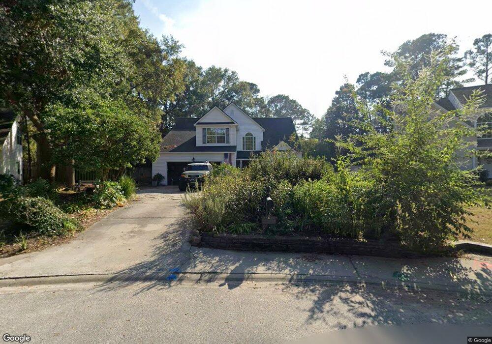
122 Brompton Rd Savannah, GA 31410
Estimated Value: $547,163 - $614,000
4
Beds
3
Baths
2,368
Sq Ft
$249/Sq Ft
Est. Value
About This Home
This home is located at 122 Brompton Rd, Savannah, GA 31410 and is currently estimated at $590,041, approximately $249 per square foot. 122 Brompton Rd is a home located in Chatham County with nearby schools including Howard Elementary School, Coastal Middle School, and Islands High School.
Ownership History
Date
Name
Owned For
Owner Type
Purchase Details
Closed on
Aug 20, 2010
Sold by
Stephens Karl D
Bought by
Waghorn Denise Louise
Current Estimated Value
Home Financials for this Owner
Home Financials are based on the most recent Mortgage that was taken out on this home.
Original Mortgage
$242,000
Outstanding Balance
$157,237
Interest Rate
4.59%
Mortgage Type
New Conventional
Estimated Equity
$432,804
Create a Home Valuation Report for This Property
The Home Valuation Report is an in-depth analysis detailing your home's value as well as a comparison with similar homes in the area
Home Values in the Area
Average Home Value in this Area
Purchase History
| Date | Buyer | Sale Price | Title Company |
|---|---|---|---|
| Waghorn Denise Louise | $302,500 | -- |
Source: Public Records
Mortgage History
| Date | Status | Borrower | Loan Amount |
|---|---|---|---|
| Open | Waghorn Denise Louise | $242,000 |
Source: Public Records
Tax History
| Year | Tax Paid | Tax Assessment Tax Assessment Total Assessment is a certain percentage of the fair market value that is determined by local assessors to be the total taxable value of land and additions on the property. | Land | Improvement |
|---|---|---|---|---|
| 2025 | $4,460 | $174,240 | $46,000 | $128,240 |
| 2024 | $36 | $175,640 | $46,000 | $129,640 |
| 2023 | $3,604 | $145,480 | $35,200 | $110,280 |
| 2022 | $3,980 | $150,800 | $35,200 | $115,600 |
| 2021 | $4,070 | $135,360 | $35,200 | $100,160 |
| 2020 | $3,910 | $133,880 | $35,200 | $98,680 |
| 2019 | $4,030 | $117,680 | $35,200 | $82,480 |
| 2018 | $3,981 | $114,680 | $35,200 | $79,480 |
| 2017 | $3,846 | $116,400 | $35,200 | $81,200 |
| 2016 | $3,597 | $115,400 | $35,200 | $80,200 |
| 2015 | $3,589 | $114,960 | $35,200 | $79,760 |
| 2014 | $5,213 | $116,400 | $0 | $0 |
Source: Public Records
Map
Nearby Homes
- 119 Farringdon Cir
- 108 Chancery Ln
- 209 Deerwood Rd
- 138 Penn Station
- 103 W Gazebo Ln
- 127 Druid Cir
- 32 Deerwood Rd
- 103 Deerwood Rd
- 136 Druid Cir
- 214 N Cromwell Rd
- 214 Island Creek Ln
- 401 N Cromwell Rd Unit Q7
- 401 N Cromwell Rd Unit F-5
- 401 N Cromwell Rd Unit T2
- 104 Saint Andrews Way
- 14 Deerwood Rd
- 1 Old Fort Way
- 113 Suffolk Rd
- 2 Landon Ln
- 710 Leaning Oaks Dr
- 124 Brompton Rd
- 120 Brompton Rd
- 123 Farringdon Cir
- 121 Farringdon Cir
- 126 Brompton Rd
- 118 Brompton Rd
- 125 Farringdon Cir
- 125 Brompton Rd
- 117 Farringdon Cir
- 128 Brompton Rd
- 116 Brompton Rd
- 127 Farringdon Cir
- 129 Brompton Rd
- 120 Farringdon Cir
- 127 Brompton Rd
- 118 Farringdon Cir
- 1 Cosway Ct
- 129 Farringdon Cir
- 114 Brompton Rd
- 115 Farringdon Cir
Your Personal Tour Guide
Ask me questions while you tour the home.