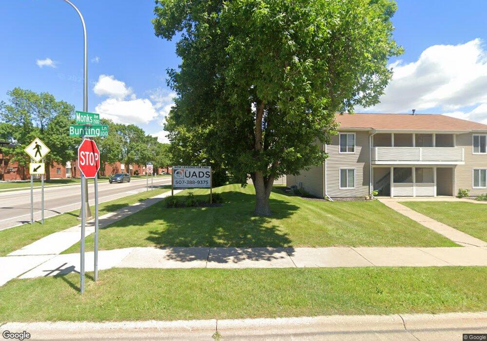
122 Bunting Ln Mankato, MN 56001
Jaycee Park NeighborhoodEstimated Value: $110,000 - $179,000
2
Beds
2
Baths
912
Sq Ft
$159/Sq Ft
Est. Value
About This Home
This home is located at 122 Bunting Ln, Mankato, MN 56001 and is currently estimated at $145,453, approximately $159 per square foot. 122 Bunting Ln is a home located in Blue Earth County with nearby schools including Kennedy Elementary School, Prairie Winds Middle School, and Mankato East Senior High School.
Ownership History
Date
Name
Owned For
Owner Type
Purchase Details
Closed on
Feb 4, 2020
Sold by
Davidson Lisa Rae
Bought by
Davidson Lisa Rae
Current Estimated Value
Purchase Details
Closed on
Mar 16, 2007
Sold by
3 Par Co Llp
Bought by
Davidson Lisa R
Home Financials for this Owner
Home Financials are based on the most recent Mortgage that was taken out on this home.
Original Mortgage
$48,750
Interest Rate
6.31%
Mortgage Type
New Conventional
Create a Home Valuation Report for This Property
The Home Valuation Report is an in-depth analysis detailing your home's value as well as a comparison with similar homes in the area
Home Values in the Area
Average Home Value in this Area
Purchase History
| Date | Buyer | Sale Price | Title Company |
|---|---|---|---|
| Davidson Lisa Rae | -- | None Available | |
| Davidson Lisa R | $65,000 | -- |
Source: Public Records
Mortgage History
| Date | Status | Borrower | Loan Amount |
|---|---|---|---|
| Previous Owner | Davidson Lisa R | $48,750 |
Source: Public Records
Tax History Compared to Growth
Tax History
| Year | Tax Paid | Tax Assessment Tax Assessment Total Assessment is a certain percentage of the fair market value that is determined by local assessors to be the total taxable value of land and additions on the property. | Land | Improvement |
|---|---|---|---|---|
| 2025 | $1,028 | $83,800 | $7,500 | $76,300 |
| 2024 | $1,028 | $80,800 | $7,500 | $73,300 |
| 2023 | $1,016 | $77,200 | $7,000 | $70,200 |
| 2022 | $1,106 | $77,200 | $7,000 | $70,200 |
| 2021 | $1,046 | $78,300 | $9,900 | $68,400 |
| 2020 | $1,006 | $66,400 | $9,900 | $56,500 |
| 2019 | $1,002 | $66,400 | $9,900 | $56,500 |
| 2018 | $994 | $66,000 | $13,200 | $52,800 |
| 2017 | $978 | $65,800 | $24,800 | $41,000 |
| 2016 | $962 | $67,400 | $24,800 | $42,600 |
| 2015 | $8 | $66,500 | $24,800 | $41,700 |
| 2014 | $770 | $193,200 | $74,400 | $118,800 |
Source: Public Records
Map
Nearby Homes
- 2 A Madison Ave
- 20 Camelot Dr
- 315 Floral Ave
- 130 Dillon Ave
- 111 Newton St
- 0 Tbd Woodridge Unit 7036731
- 121 Savannah Ct
- 215 Parkway Place
- 124 Joshua Ct
- 516 Cardinal Place
- 317 Oak Marsh Dr
- TBD Woodridge
- 248 Quail Path
- 128 Timberwolf Ct
- 340 Dolph Rd
- 136 Quail Path
- 709 Warren St
- TBD Saratoga
- 113 Blue Bird Path
- 0 Agency Trail