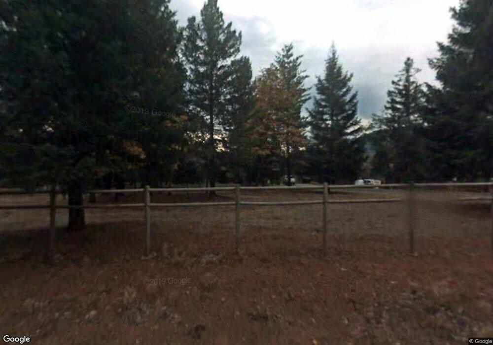
122 Carlos Ave Rogue River, OR 97537
Estimated Value: $810,000 - $885,000
3
Beds
3
Baths
1,786
Sq Ft
$483/Sq Ft
Est. Value
About This Home
This home is located at 122 Carlos Ave, Rogue River, OR 97537 and is currently estimated at $863,290, approximately $483 per square foot. 122 Carlos Ave is a home located in Jackson County with nearby schools including South Valley Academy, Rogue River Elementary School, and Rogue River Junior/Senior High School.
Ownership History
Date
Name
Owned For
Owner Type
Purchase Details
Closed on
Jul 14, 2009
Sold by
Schwenne Greg M
Bought by
Schwenne Gregory M and Schwenne Louise
Current Estimated Value
Purchase Details
Closed on
Mar 26, 2003
Sold by
Barsuglia Charles W and Living Trust Of Charles Walter
Bought by
Schwenne Dorothy P and Schwenne Greg M
Purchase Details
Closed on
Feb 12, 1998
Sold by
Simmons Chapman Mary E
Bought by
Barsuglia Charles Walter and Morey Ernestine Duncan
Create a Home Valuation Report for This Property
The Home Valuation Report is an in-depth analysis detailing your home's value as well as a comparison with similar homes in the area
Home Values in the Area
Average Home Value in this Area
Purchase History
| Date | Buyer | Sale Price | Title Company |
|---|---|---|---|
| Schwenne Gregory M | -- | Accommodation | |
| Schwenne Dorothy P | $369,000 | Key Title Company | |
| Barsuglia Charles Walter | $222,000 | Crater Title Insurance |
Source: Public Records
Tax History Compared to Growth
Tax History
| Year | Tax Paid | Tax Assessment Tax Assessment Total Assessment is a certain percentage of the fair market value that is determined by local assessors to be the total taxable value of land and additions on the property. | Land | Improvement |
|---|---|---|---|---|
| 2025 | $2,630 | $259,976 | $76,266 | $183,710 |
| 2024 | $2,630 | $252,411 | $74,051 | $178,360 |
| 2023 | $2,547 | $245,066 | $71,886 | $173,180 |
| 2022 | $2,483 | $245,066 | $71,886 | $173,180 |
| 2021 | $2,409 | $237,931 | $69,781 | $168,150 |
| 2020 | $2,349 | $231,007 | $67,747 | $163,260 |
| 2019 | $2,289 | $217,753 | $63,863 | $153,890 |
| 2018 | $3,476 | $214,541 | $62,004 | $152,537 |
| 2017 | $1,853 | $214,541 | $62,004 | $152,537 |
| 2016 | $1,806 | $168,539 | $58,999 | $109,540 |
| 2015 | $1,749 | $168,539 | $58,999 | $109,540 |
| 2014 | $1,691 | $158,881 | $55,611 | $103,270 |
Source: Public Records
Map
Nearby Homes
- 7435 W Evans Creek Rd
- 7310 W Evans Creek Rd
- 7118 Redthorne Rd
- 835 Minthorne Rd
- 1205 Pine Grove Rd
- 255 Queens Branch Rd
- 1105 Pine Grove Rd
- 149 Queens Branch Rd
- 6324 E Evans Creek Rd
- 9184 W Evans Creek Rd
- 643 Covered Bridge Rd
- 8797 W Evans Creek Rd
- 1475 Pleasant Creek Rd
- 5406 E Evans Creek Rd
- 8951 E Evans Creek Rd Unit 14
- 798 Covered Bridge Rd
- 256 Deruyte Way
- 254 Deruyte Way
- 257 Deruyte Way
- 252 Deruyte Way
- 148 Carlos Ave
- 7380 W Evans Creek Rd
- 7390 W Evans Creek Rd
- 155 Carlos Ave
- 7429 W Evans Creek Rd
- 7433 W Evans Creek Rd
- 7750 W Evans Creek Rd
- 7330 W Evans Creek Rd
- 7435 W Evans
- 7320 W Evans
- 7325 W Evans Creek Rd
- 1171 Queens Branch Rd
- 7323 W Evans Creek Rd
- 7321 W Evans Creek Rd
- 7177 Redthorne Rd
- 7239 Redthorne Rd
- 7353 Redthorne Rd
- 162 Carlos Ave
- 7800 W Evans Creek Rd
- 171 Carlos Ave
