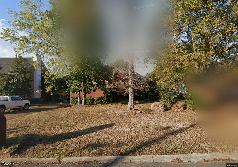
122 Cedar Forest Dr Smyrna, TN 37167
Estimated Value: $404,511 - $503,000
--
Bed
3
Baths
2,145
Sq Ft
$211/Sq Ft
Est. Value
About This Home
This home is located at 122 Cedar Forest Dr, Smyrna, TN 37167 and is currently estimated at $452,628, approximately $211 per square foot. 122 Cedar Forest Dr is a home located in Rutherford County with nearby schools including Rocky Fork Elementary School, Rocky Fork Middle School, and Smyrna High School.
Ownership History
Date
Name
Owned For
Owner Type
Purchase Details
Closed on
Aug 16, 2017
Sold by
Henderson Gary S and Henderson Meldoie A
Bought by
Lynch Donna M and Lynch Jeffrey
Current Estimated Value
Home Financials for this Owner
Home Financials are based on the most recent Mortgage that was taken out on this home.
Original Mortgage
$239,400
Outstanding Balance
$199,761
Interest Rate
3.96%
Mortgage Type
New Conventional
Estimated Equity
$252,867
Purchase Details
Closed on
Nov 23, 1999
Sold by
Spears Joe D
Bought by
Henderson Gary S and Henderson Melodie
Create a Home Valuation Report for This Property
The Home Valuation Report is an in-depth analysis detailing your home's value as well as a comparison with similar homes in the area
Home Values in the Area
Average Home Value in this Area
Purchase History
| Date | Buyer | Sale Price | Title Company |
|---|---|---|---|
| Lynch Donna M | $252,000 | None Available | |
| Henderson Gary S | $185,000 | -- |
Source: Public Records
Mortgage History
| Date | Status | Borrower | Loan Amount |
|---|---|---|---|
| Open | Lynch Donna M | $239,400 |
Source: Public Records
Tax History Compared to Growth
Tax History
| Year | Tax Paid | Tax Assessment Tax Assessment Total Assessment is a certain percentage of the fair market value that is determined by local assessors to be the total taxable value of land and additions on the property. | Land | Improvement |
|---|---|---|---|---|
| 2025 | $2,194 | $91,350 | $13,750 | $77,600 |
| 2024 | $2,194 | $91,350 | $13,750 | $77,600 |
| 2023 | $2,194 | $91,350 | $13,750 | $77,600 |
| 2022 | $1,956 | $91,350 | $13,750 | $77,600 |
| 2021 | $1,954 | $66,925 | $12,500 | $54,425 |
| 2020 | $1,954 | $66,925 | $12,500 | $54,425 |
| 2019 | $1,954 | $66,925 | $12,500 | $54,425 |
| 2018 | $1,874 | $66,925 | $0 | $0 |
| 2017 | $1,705 | $47,825 | $0 | $0 |
| 2016 | $1,705 | $47,825 | $0 | $0 |
| 2015 | $1,705 | $47,825 | $0 | $0 |
| 2014 | $1,189 | $47,825 | $0 | $0 |
| 2013 | -- | $41,650 | $0 | $0 |
Source: Public Records
Map
Nearby Homes
- 407 Shadowood Dr
- 505 Spinnaker Ct
- 508 Spinnaker Ct
- 806 Enon Springs Rd W
- 499 Williamsport Dr
- 0 Bonifay Dr
- 520 Mcgrath Dr
- 107 Irish Place
- 1307 Talia Trace Plan at Talia Trace
- 1781-3 Talia Trace Town Home Plan at Talia Trace
- 1723-2 Talia Trace Town Home Plan at Talia Trace
- 1306 Talia Trace Plan at Talia Trace
- 1703-3 Talia Trace Plan at Talia Trace
- 1603 Talia Trace Plan at Talia Trace
- 143 Stokes Dr
- 120 Ace Ave
- 130 Ace Ave
- 140 Ace Ave
- 110 Ace Ave
- 115 Saint Michaels Ln
- 120 Cedar Forest Dr
- 124 Cedar Forest Dr
- 317 Shadowood Dr
- 118 Cedar Forest Dr
- 315 Shadowood Dr
- 126 Cedar Forest Dr
- 125 Cedar Forest Dr
- 319 Shadowood Dr
- 313 Shadowood Dr
- 127 Cedar Forest Dr
- 116 Cedar Forest Dr
- 123 Cedar Forest Dr
- 128 Cedar Forest Dr
- 311 Shadowood Dr
- 129 Cedar Forest Dr
- 121 Cedar Forest Dr
- 321 Shadowood Dr
- 114 Cedar Forest Dr
- 119 Cedar Forest Dr
- 131 Cedar Forest Dr