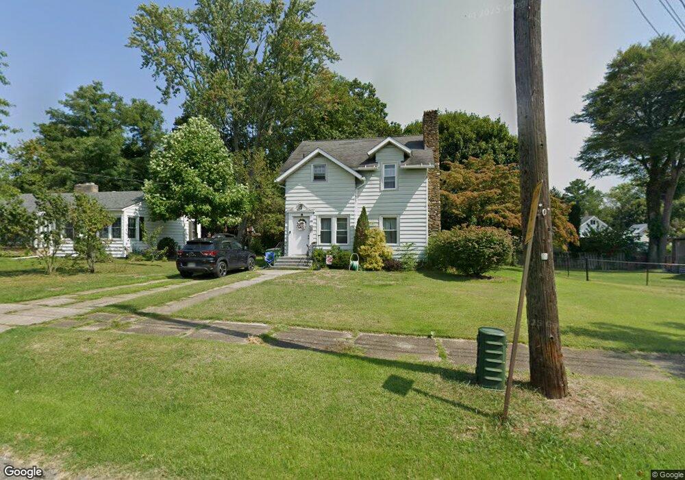
122 Cummins Ave Conneaut, OH 44030
Estimated Value: $140,724 - $162,000
2
Beds
2
Baths
1,176
Sq Ft
$129/Sq Ft
Est. Value
About This Home
This home is located at 122 Cummins Ave, Conneaut, OH 44030 and is currently estimated at $151,431, approximately $128 per square foot. 122 Cummins Ave is a home located in Ashtabula County with nearby schools including Lakeshore Primary Elementary School, Gateway Elementary School, and Conneaut Middle School.
Ownership History
Date
Name
Owned For
Owner Type
Purchase Details
Closed on
Sep 30, 2009
Sold by
Lake Erie Investors Company
Bought by
Osborne April
Current Estimated Value
Home Financials for this Owner
Home Financials are based on the most recent Mortgage that was taken out on this home.
Original Mortgage
$69,000
Outstanding Balance
$45,308
Interest Rate
5.19%
Mortgage Type
Seller Take Back
Estimated Equity
$106,123
Create a Home Valuation Report for This Property
The Home Valuation Report is an in-depth analysis detailing your home's value as well as a comparison with similar homes in the area
Home Values in the Area
Average Home Value in this Area
Purchase History
| Date | Buyer | Sale Price | Title Company |
|---|---|---|---|
| Osborne April | $70,000 | Attorney |
Source: Public Records
Mortgage History
| Date | Status | Borrower | Loan Amount |
|---|---|---|---|
| Open | Osborne April | $69,000 |
Source: Public Records
Tax History Compared to Growth
Tax History
| Year | Tax Paid | Tax Assessment Tax Assessment Total Assessment is a certain percentage of the fair market value that is determined by local assessors to be the total taxable value of land and additions on the property. | Land | Improvement |
|---|---|---|---|---|
| 2024 | $2,146 | $29,340 | $6,550 | $22,790 |
| 2023 | $1,390 | $29,340 | $6,550 | $22,790 |
| 2022 | $1,179 | $21,910 | $5,040 | $16,870 |
| 2021 | $1,200 | $21,910 | $5,040 | $16,870 |
| 2020 | $1,199 | $21,910 | $5,040 | $16,870 |
| 2019 | $898 | $16,070 | $2,660 | $13,410 |
| 2018 | $857 | $16,070 | $2,660 | $13,410 |
| 2017 | $842 | $16,070 | $2,660 | $13,410 |
| 2016 | $820 | $16,770 | $2,770 | $14,000 |
| 2015 | $828 | $16,770 | $2,770 | $14,000 |
| 2014 | $733 | $16,770 | $2,770 | $14,000 |
| 2013 | $878 | $20,690 | $5,810 | $14,880 |
Source: Public Records
Map
Nearby Homes
- 855 Spring St Unit S9
- 247 Whitney St
- 18 Hillcrest Ct
- 589 Main St
- 536 Madison St
- 251 St Rt 7
- 455 Main St
- 210 W Main Rd
- 474 Sherman St
- VL Center Rd
- 202 W Main Rd Unit 49
- 202 W Main Rd Unit Lot 150
- 202 W Main Rd Unit 33
- 202 W Main Rd Unit 16
- 429 Depot St
- 220 Daniels Ave
- 459 Mill St
- 405 Bliss Ave
- 0 Chestnut St Unit 5120761
- 375 Bliss Ave
- 130 Cummins Ave
- 894 Lincoln Dr
- 133 Grandview St
- 138 Cummins Ave
- 131 Grandview St
- 141 Grandview St
- 914 Lincoln Dr
- 123 Grandview St
- 882 Lincoln Dr
- 142 Cummins Ave
- 155 Grandview St
- 876 Lincoln Dr
- 895 Lincoln Dr
- 157 Grandview St
- 137 Cummins Ave
- 903 Lincoln Dr
- 152 Cummins Ave
- 909 Lincoln Dr
- 141 Cummins Ave