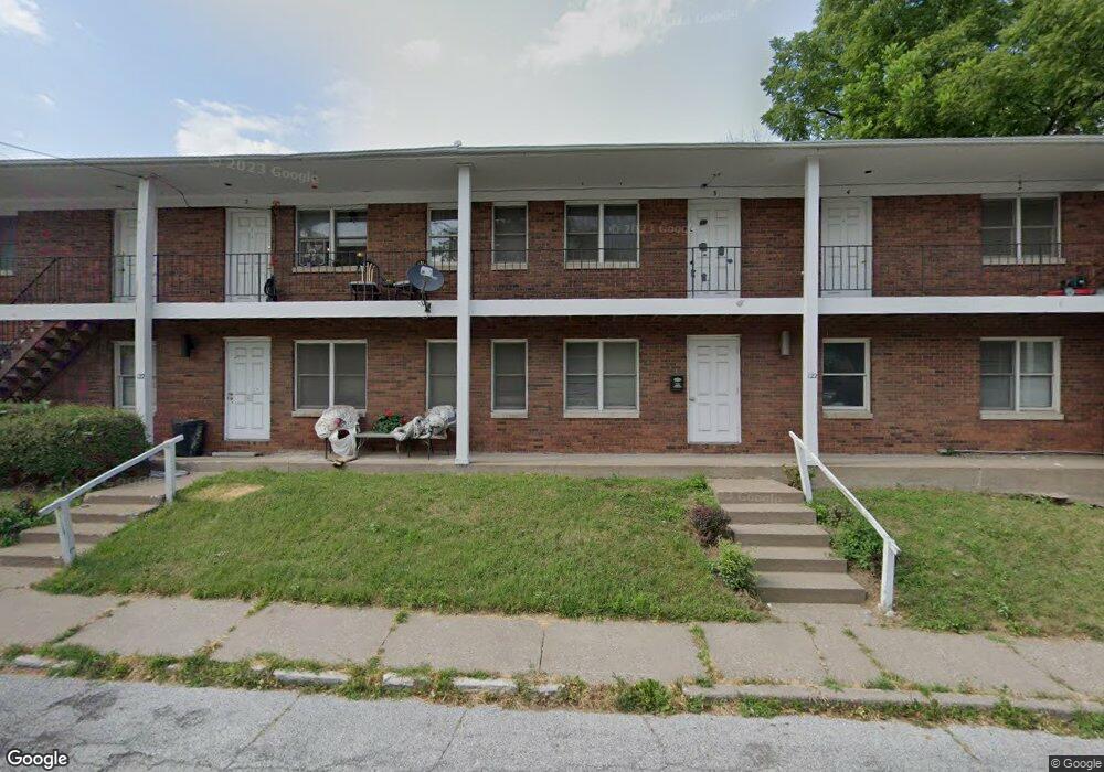
122 E 17th St Unit 247 R Davenport, IA 52803
Central Davenport NeighborhoodEstimated Value: $265,189
--
Bed
--
Bath
5,280
Sq Ft
$50/Sq Ft
Est. Value
About This Home
This home is located at 122 E 17th St Unit 247 R, Davenport, IA 52803 and is currently priced at $265,189, approximately $50 per square foot. 122 E 17th St Unit 247 R is a home located in Scott County with nearby schools including Crofton Elementary School, Christian County Day Treatment Center Alt, and Casey County Middle School.
Ownership History
Date
Name
Owned For
Owner Type
Purchase Details
Closed on
Sep 26, 2025
Sold by
Ploof David A
Bought by
Riverfront Realty Llc
Current Estimated Value
Home Financials for this Owner
Home Financials are based on the most recent Mortgage that was taken out on this home.
Original Mortgage
$149,016
Outstanding Balance
$149,016
Interest Rate
6.58%
Mortgage Type
Credit Line Revolving
Purchase Details
Closed on
Sep 29, 2022
Sold by
Ploof Christine D
Bought by
Ploof David A
Create a Home Valuation Report for This Property
The Home Valuation Report is an in-depth analysis detailing your home's value as well as a comparison with similar homes in the area
Home Values in the Area
Average Home Value in this Area
Purchase History
| Date | Buyer | Sale Price | Title Company |
|---|---|---|---|
| Riverfront Realty Llc | $100,000 | None Listed On Document | |
| Ploof David A | -- | -- |
Source: Public Records
Mortgage History
| Date | Status | Borrower | Loan Amount |
|---|---|---|---|
| Open | Riverfront Realty Llc | $149,016 |
Source: Public Records
Tax History Compared to Growth
Tax History
| Year | Tax Paid | Tax Assessment Tax Assessment Total Assessment is a certain percentage of the fair market value that is determined by local assessors to be the total taxable value of land and additions on the property. | Land | Improvement |
|---|---|---|---|---|
| 2025 | $8,589 | $305,180 | $34,340 | $270,840 |
| 2024 | $7,825 | $305,180 | $34,340 | $270,840 |
| 2023 | $6,111 | $305,180 | $34,340 | $270,840 |
| 2022 | $8,456 | $242,710 | $34,340 | $208,370 |
| 2021 | $8,228 | $242,710 | $34,340 | $208,370 |
| 2020 | $8,500 | $242,710 | $34,340 | $208,370 |
| 2019 | $8,294 | $232,780 | $34,340 | $198,440 |
| 2018 | $8,456 | $232,780 | $34,340 | $198,440 |
| 2017 | $8,046 | $232,780 | $34,340 | $198,440 |
| 2016 | $6,614 | $176,500 | $0 | $0 |
| 2015 | $6,614 | $176,500 | $0 | $0 |
| 2014 | $6,806 | $176,500 | $0 | $0 |
| 2013 | $7,230 | $0 | $0 | $0 |
| 2012 | -- | $187,100 | $42,300 | $144,800 |
Source: Public Records
Map
Nearby Homes
- 125 E Locust St
- 1812 Pershing Ave
- 1518 N Main St
- 325 Kirkwood Blvd
- 1605 N Harrison St
- 420 Kirkwood Blvd
- 320 E 14th St
- 2036 N Main St
- 209 E 13th St
- 407 E 14th St
- 511 Kirkwood Blvd
- 409 E 14th St
- 1222 Pershing Ave
- 503 W 17th St
- 618 Douglas Ct
- 224 E Rusholme St
- 637 E 15th St
- 625 E High St
- 1127 N Ripley St
- 402 E Rusholme St
- 1710 N Perry St
- 1714 N Perry St
- 1717 Brady St
- 1720 N Perry St
- 126 Kirkwood Blvd
- 100 Kirkwood Blvd
- 118 E 18th St
- 1703 N Perry St
- 1709 N Perry St
- 1717 N Perry St
- 1613 N Perry St
- 126 E 18th St
- 210 E 17th St
- 130 E 18th St
- 204 Kirkwood Blvd
- 134 E 18th St
- 209 E 18th St
- 202 E 18th St
- 218 E 17th St
- 208 Kirkwood Blvd