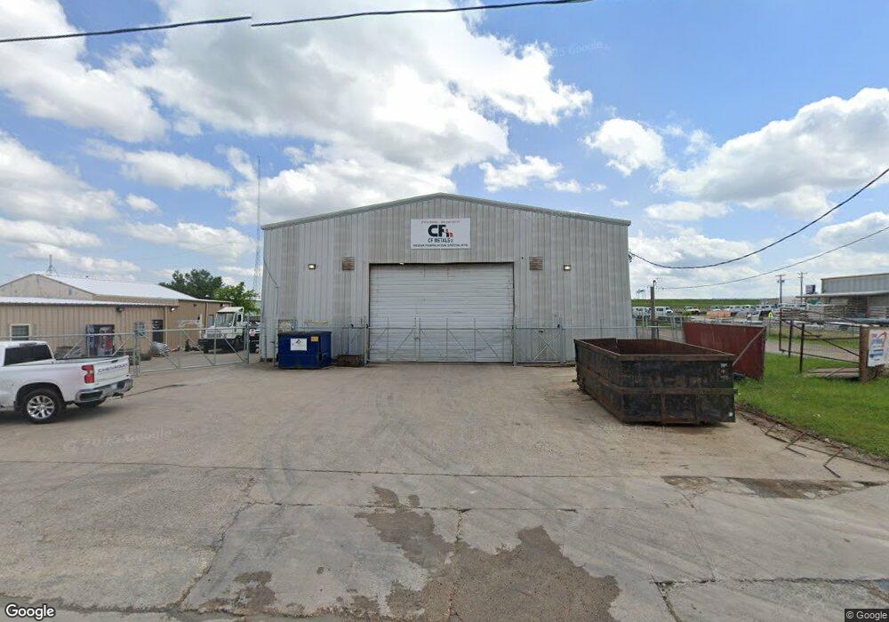
122 E Industrial Blvd Cleburne, TX 76031
Studio
--
Bath
3,304
Sq Ft
43,560
Sq Ft Lot
About This Home
This home is located at 122 E Industrial Blvd, Cleburne, TX 76031. 122 E Industrial Blvd is a home located in Johnson County with nearby schools including Irving Elementary School, A.D. Wheat Middle School, and Cleburne High School.
Ownership History
Date
Name
Owned For
Owner Type
Purchase Details
Closed on
Aug 18, 2022
Sold by
Concrete Related Products Llc
Bought by
Cr 700 Investments Inc
Home Financials for this Owner
Home Financials are based on the most recent Mortgage that was taken out on this home.
Original Mortgage
$640,000
Outstanding Balance
$610,837
Interest Rate
5.3%
Mortgage Type
New Conventional
Purchase Details
Closed on
Dec 8, 2006
Sold by
Chafin Ralph and Chafin Wyvette
Bought by
Concrete Related Products Holdings Inc
Create a Home Valuation Report for This Property
The Home Valuation Report is an in-depth analysis detailing your home's value as well as a comparison with similar homes in the area
Home Values in the Area
Average Home Value in this Area
Purchase History
| Date | Buyer | Sale Price | Title Company |
|---|---|---|---|
| Cr 700 Investments Inc | -- | None Listed On Document | |
| Concrete Related Products Holdings Inc | -- | North American Title Company |
Source: Public Records
Mortgage History
| Date | Status | Borrower | Loan Amount |
|---|---|---|---|
| Open | Cr 700 Investments Inc | $640,000 |
Source: Public Records
Tax History
| Year | Tax Paid | Tax Assessment Tax Assessment Total Assessment is a certain percentage of the fair market value that is determined by local assessors to be the total taxable value of land and additions on the property. | Land | Improvement |
|---|---|---|---|---|
| 2025 | $10,638 | $477,091 | $50,094 | $426,997 |
| 2024 | $10,638 | $477,091 | $50,094 | $426,997 |
| 2023 | $10,617 | $477,091 | $50,094 | $426,997 |
| 2022 | $10,324 | $412,511 | $50,094 | $362,417 |
| 2021 | $10,763 | $412,511 | $50,094 | $362,417 |
| 2020 | $9,779 | $352,922 | $50,094 | $302,828 |
| 2019 | $10,428 | $352,922 | $50,094 | $302,828 |
| 2018 | $10,432 | $352,922 | $50,094 | $302,828 |
| 2017 | $10,389 | $352,922 | $50,094 | $302,828 |
| 2016 | $10,389 | $352,922 | $50,094 | $302,828 |
Source: Public Records
Map
Nearby Homes
- 125 Toftrees Dr
- 123 Toftrees Dr
- 3107 Harmony Way
- 3109 Harmony Way
- 3109 Hawkview Dr
- 501 Hix Rd
- 3113 Hawkview Dr
- 3112 Harmony Way
- 3117 Harmony Way
- 3128 Manchester Dr
- 3127 Manchester Dr
- 3132 Manchester Dr
- 3123 Harmony Way
- 222 Hix Rd
- 206 Hix Rd
- 1802 N Wilhite St
- 110 Honey Bee Dr
- 3111 Hawkview Dr
- 1709 N Main St
- 106 Drovers Dr
- 112 E Industrial Blvd
- 2406 N Main St
- 318 County Road 700
- 2309 N Main St
- 6103 Annahill Cir
- 0000 Corner
- 2401 N Main St
- 317 E Industrial Blvd
- 318 E Industrial Blvd
- 2212 N Main St
- 2410 N Main St
- 2517 N Main St
- 2209 N Main St
- 2203 N Main St
- 3900 U S 67
- 6598 U S 67
- 6838 U S 67
- 2201 N Main St
- 106 Century Dr
- 118 E Industrial Blvd
Your Personal Tour Guide
Ask me questions while you tour the home.