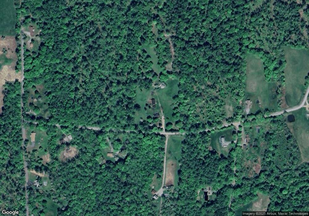
122 Hatt Rd Westmoreland, NH 03467
Estimated Value: $431,888 - $489,000
2
Beds
1
Bath
1,744
Sq Ft
$268/Sq Ft
Est. Value
About This Home
This home is located at 122 Hatt Rd, Westmoreland, NH 03467 and is currently estimated at $468,222, approximately $268 per square foot. 122 Hatt Rd is a home located in Cheshire County with nearby schools including Mayland Early College High School and Keene High School.
Create a Home Valuation Report for This Property
The Home Valuation Report is an in-depth analysis detailing your home's value as well as a comparison with similar homes in the area
Home Values in the Area
Average Home Value in this Area
Tax History Compared to Growth
Tax History
| Year | Tax Paid | Tax Assessment Tax Assessment Total Assessment is a certain percentage of the fair market value that is determined by local assessors to be the total taxable value of land and additions on the property. | Land | Improvement |
|---|---|---|---|---|
| 2024 | $5,747 | $249,200 | $75,000 | $174,200 |
| 2023 | $5,305 | $249,200 | $75,000 | $174,200 |
| 2022 | $5,121 | $249,200 | $75,000 | $174,200 |
| 2021 | $5,084 | $249,200 | $75,000 | $174,200 |
| 2020 | $5,098 | $200,700 | $60,000 | $140,700 |
| 2019 | $5,389 | $200,700 | $60,000 | $140,700 |
| 2018 | $5,114 | $200,700 | $60,000 | $140,700 |
| 2017 | $5,018 | $200,700 | $60,000 | $140,700 |
| 2016 | $4,983 | $200,700 | $60,000 | $140,700 |
| 2015 | $4,702 | $215,600 | $63,000 | $152,600 |
| 2014 | $4,696 | $215,600 | $63,000 | $152,600 |
| 2012 | $4,556 | $215,600 | $63,000 | $152,600 |
Source: Public Records
Map
Nearby Homes
- 43 Westmoreland Rd
- 36 Canal St
- 000 S Village Rd Unit 13
- 563 N Shore Rd
- 48 Church St
- 85 Foley Rd
- 601 River Rd S
- 14 Hurricane Rd
- 123 Poocham Rd
- 821 Route 9
- 1123 River Rd
- 0 Stow Dr Unit 4929741
- 00 S Pine Banks Rd
- 119 Main St
- 13 Kimball Hill
- 136 Cross Rd
- 15 Stearns Rd
- Rt Highway 12
- 484 Old Swanzey Rd
- 30 Farr Rd