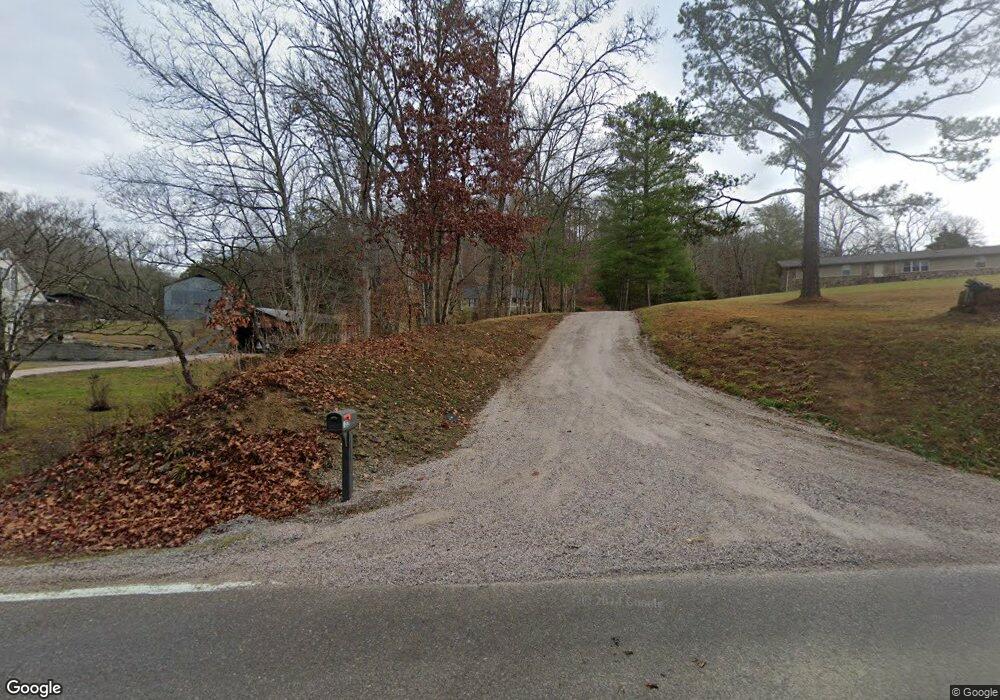
122 Highway 61 W Maynardville, TN 37807
Paulette NeighborhoodEstimated Value: $288,000 - $370,000
--
Bed
2
Baths
1,728
Sq Ft
$191/Sq Ft
Est. Value
About This Home
This home is located at 122 Highway 61 W, Maynardville, TN 37807 and is currently estimated at $330,364, approximately $191 per square foot. 122 Highway 61 W is a home located in Union County with nearby schools including Paulette Elementary School, Union County High School, and H Maynard Middle School.
Ownership History
Date
Name
Owned For
Owner Type
Purchase Details
Closed on
Sep 16, 1997
Bought by
Oaks Brian E Oaks Susan E
Current Estimated Value
Create a Home Valuation Report for This Property
The Home Valuation Report is an in-depth analysis detailing your home's value as well as a comparison with similar homes in the area
Home Values in the Area
Average Home Value in this Area
Purchase History
| Date | Buyer | Sale Price | Title Company |
|---|---|---|---|
| Oaks Brian E Oaks Susan E | $10,000 | -- | |
| Oaks Brian E Oaks Susan E | $10,000 | -- |
Source: Public Records
Tax History Compared to Growth
Tax History
| Year | Tax Paid | Tax Assessment Tax Assessment Total Assessment is a certain percentage of the fair market value that is determined by local assessors to be the total taxable value of land and additions on the property. | Land | Improvement |
|---|---|---|---|---|
| 2024 | $1,047 | $55,125 | $3,575 | $51,550 |
| 2023 | $1,047 | $55,125 | $3,575 | $51,550 |
| 2022 | $876 | $55,125 | $3,575 | $51,550 |
| 2021 | $878 | $41,025 | $4,125 | $36,900 |
| 2020 | $878 | $41,025 | $4,125 | $36,900 |
| 2019 | $878 | $41,025 | $4,125 | $36,900 |
| 2018 | $878 | $41,025 | $4,125 | $36,900 |
| 2017 | $878 | $41,025 | $4,125 | $36,900 |
| 2016 | $778 | $35,850 | $3,725 | $32,125 |
| 2015 | $778 | $35,850 | $3,725 | $32,125 |
| 2014 | $642 | $35,837 | $0 | $0 |
Source: Public Records
Map
Nearby Homes
- 112 Dogwood St
- L-7 Williams Dr
- 213 Brock Rd
- 275 Dogwood Ln
- 254 Dogwood Ln
- 323 Maynardville Hwy
- 375 Russell Dr
- 9211 Brock Rd
- 215 Jamie St
- 211 Jamie St
- 9210 Brock Rd
- 9024 Welch Rd
- 7725 Texas Valley Rd
- 0 Satterfield Rd Unit 1313221
- 250 Burkhart Rd
- 9502 Old Loyston Rd
- 3717 Hickory Valley Rd
- 589 Possum Valley Rd
- 8210 Wood Rd
- 6901 Texas Valley Rd
- 138 Highway 61 W
- 116 Highway 61 W
- 112 Highway 61 W
- 1335 Maynardville Hwy
- 1335 Maynardville Hwy Unit 1335
- 1329 Maynardville Hwy
- 159 Highway 61 W
- 1427 Maynardville Hwy
- 0 Milan Cir Unit 634502
- 1409 Maynardville Hwy
- 1339 Maynardville Hwy
- 1104 Maynardville Hwy
- 1421 Maynardville Hwy
- 1306 Satterfield Rd
- 1414 Maynardville Hwy
- 1022 Maynardville Hwy
- 169 Highway 61 W
- 1505 Maynardville Hwy
- 1290 Satterfield Rd
- 104 Elm Dr