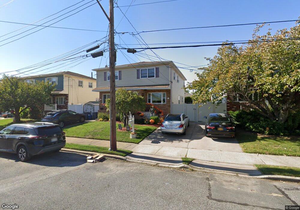
122 Levit Ave Staten Island, NY 10314
Westerleigh NeighborhoodEstimated Value: $650,325 - $735,000
3
Beds
2
Baths
1,280
Sq Ft
$538/Sq Ft
Est. Value
About This Home
This home is located at 122 Levit Ave, Staten Island, NY 10314 and is currently estimated at $688,081, approximately $537 per square foot. 122 Levit Ave is a home located in Richmond County with nearby schools including P.S. 22 Graniteville, I.S. 51 Edwin Markham, and Port Richmond High School.
Ownership History
Date
Name
Owned For
Owner Type
Purchase Details
Closed on
Nov 13, 2001
Sold by
Furia Philip and Furia Maria
Bought by
Ciurcina Paul and Ciurcina Regina
Current Estimated Value
Home Financials for this Owner
Home Financials are based on the most recent Mortgage that was taken out on this home.
Original Mortgage
$195,000
Interest Rate
7.04%
Create a Home Valuation Report for This Property
The Home Valuation Report is an in-depth analysis detailing your home's value as well as a comparison with similar homes in the area
Home Values in the Area
Average Home Value in this Area
Purchase History
| Date | Buyer | Sale Price | Title Company |
|---|---|---|---|
| Ciurcina Paul | -- | United General Title Ins Co |
Source: Public Records
Mortgage History
| Date | Status | Borrower | Loan Amount |
|---|---|---|---|
| Previous Owner | Ciurcina Paul | $195,000 |
Source: Public Records
Tax History Compared to Growth
Tax History
| Year | Tax Paid | Tax Assessment Tax Assessment Total Assessment is a certain percentage of the fair market value that is determined by local assessors to be the total taxable value of land and additions on the property. | Land | Improvement |
|---|---|---|---|---|
| 2025 | $5,833 | $38,640 | $7,001 | $31,639 |
| 2024 | $5,845 | $36,000 | $7,458 | $28,542 |
| 2023 | $5,548 | $28,718 | $6,776 | $21,942 |
| 2022 | $5,122 | $30,420 | $8,820 | $21,600 |
| 2021 | $5,076 | $30,060 | $8,820 | $21,240 |
| 2020 | $5,114 | $29,640 | $8,820 | $20,820 |
| 2019 | $5,014 | $29,100 | $8,820 | $20,280 |
| 2018 | $4,581 | $23,932 | $6,871 | $17,061 |
| 2017 | $4,303 | $22,578 | $8,095 | $14,483 |
| 2016 | $3,948 | $21,300 | $8,820 | $12,480 |
| 2015 | $3,966 | $23,085 | $8,053 | $15,032 |
| 2014 | $3,966 | $22,256 | $7,764 | $14,492 |
Source: Public Records
Map
Nearby Homes
- 187 Willow Rd E
- 128 Vedder Ave
- 90 Levit Ave
- 35 Jaffe St
- 199 Willowbrook Rd
- 964 Richmond Ave
- 33 Marc St
- 17 B Yafa Ct Unit A
- 144 Bryson Ave
- 108 Crystal Ave
- 124 Woodbine Ave
- 17 Leo St Unit A
- 13 Hawthorne Ave
- 181 Collfield Ave
- 32 Muller Ave
- 75 Muller Ave
- 12 Regis Dr Unit 79
- 73 Westbrook Ave
- 182 Woodbine Ave
- 34 Regis Dr