122 Lufkin Rd Charlestown, NH 03603
Estimated Value: $333,585 - $497,000
4
Beds
2
Baths
2,766
Sq Ft
$158/Sq Ft
Est. Value
About This Home
This home is located at 122 Lufkin Rd, Charlestown, NH 03603 and is currently estimated at $437,396, approximately $158 per square foot. 122 Lufkin Rd is a home with nearby schools including Unity Elementary School.
Ownership History
Date
Name
Owned For
Owner Type
Purchase Details
Closed on
Dec 17, 2013
Sold by
Weidlich Stephen M
Bought by
Weidlich Stephen M and Weidlich Dawn
Current Estimated Value
Home Financials for this Owner
Home Financials are based on the most recent Mortgage that was taken out on this home.
Original Mortgage
$96,400
Outstanding Balance
$71,853
Interest Rate
4.14%
Mortgage Type
Purchase Money Mortgage
Estimated Equity
$365,543
Create a Home Valuation Report for This Property
The Home Valuation Report is an in-depth analysis detailing your home's value as well as a comparison with similar homes in the area
Home Values in the Area
Average Home Value in this Area
Purchase History
| Date | Buyer | Sale Price | Title Company |
|---|---|---|---|
| Weidlich Stephen M | -- | -- |
Source: Public Records
Mortgage History
| Date | Status | Borrower | Loan Amount |
|---|---|---|---|
| Open | Weidlich Stephen M | $96,400 |
Source: Public Records
Tax History Compared to Growth
Tax History
| Year | Tax Paid | Tax Assessment Tax Assessment Total Assessment is a certain percentage of the fair market value that is determined by local assessors to be the total taxable value of land and additions on the property. | Land | Improvement |
|---|---|---|---|---|
| 2024 | $4,931 | $282,900 | $93,500 | $189,400 |
| 2023 | $5,060 | $168,900 | $62,300 | $106,600 |
| 2022 | $4,896 | $168,900 | $62,300 | $106,600 |
| 2021 | $4,834 | $168,900 | $62,300 | $106,600 |
| 2020 | $4,692 | $168,900 | $62,300 | $106,600 |
| 2019 | $4,812 | $168,900 | $62,300 | $106,600 |
| 2018 | $5,751 | $192,100 | $47,800 | $144,300 |
| 2017 | $5,501 | $190,200 | $47,800 | $142,400 |
| 2016 | $5,731 | $190,200 | $47,800 | $142,400 |
| 2015 | $5,248 | $190,200 | $47,800 | $142,400 |
| 2014 | $5,027 | $190,200 | $47,800 | $142,400 |
| 2013 | $5,185 | $209,900 | $35,000 | $174,900 |
Source: Public Records
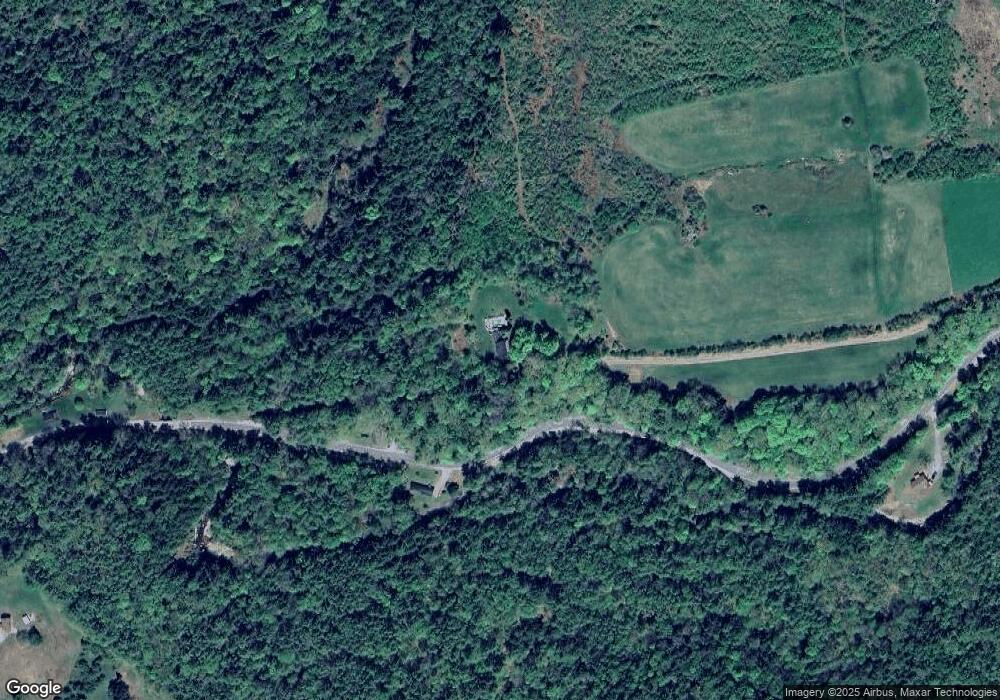
Map
Nearby Homes
- 00 Stage Rd Unit 440
- 004 W Unity Rd
- 003 W Unity Rd
- 02 W Unity Rd
- 237 Halls Pond Rd
- 493 Charlestown Rd
- 0 Saints Way Unit 24.5
- 741 2nd Nh Turnpike
- 189 S Hedgehog Hill Rd
- 219 Crescent Lake Rd
- 23 Potato Hill Rd
- 0 N Hemlock Rd Unit 1
- 81 River Rd
- 63 David Ave
- 0 Acworth Rd Unit 87 5034745
- 0 Peperes Rd Unit 24.10
- 0 Peperes Rd Unit 93
- 94 Cold Pond Rd
- 0 Old Claremont Rd
- 315 Gove Rd
- 180 Unity Stage Rd
- 180 Stage Rd
- 180 Stage Rd
- 113 Unity Stage Rd
- 116 Lufkin Rd
- 0 Lufkin Unit 4675174
- 0 Lufkin Unit 4332293
- 342 Quaker City Rd
- 14 Neal Mine Rd
- 356 Quaker City Rd
- 28 Neal Mine Rd
- 326 Quaker City Rd
- 409 Quaker City Rd
- 238 Stage Rd
- 359 Quaker City Rd
- 345 Quaker City Rd
- 353 Quaker City Rd
- 246 Stage Rd
- 218 Stage Rd
- 63 Stage Rd