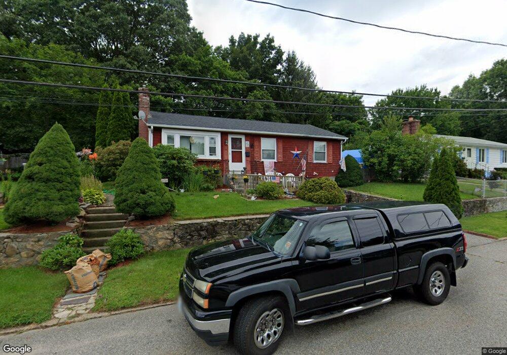
122 Macarthur Rd Woonsocket, RI 02895
East Woonsocket NeighborhoodEstimated Value: $385,000 - $420,000
3
Beds
1
Bath
1,040
Sq Ft
$388/Sq Ft
Est. Value
About This Home
This home is located at 122 Macarthur Rd, Woonsocket, RI 02895 and is currently estimated at $403,885, approximately $388 per square foot. 122 Macarthur Rd is a home located in Providence County with nearby schools including Woonsocket High School and Good Shepherd Catholic School.
Ownership History
Date
Name
Owned For
Owner Type
Purchase Details
Closed on
Aug 26, 1999
Sold by
Sawyer Paul G and Hrisko Sandra A
Bought by
Beals Shawn A and Beals Donna D
Current Estimated Value
Home Financials for this Owner
Home Financials are based on the most recent Mortgage that was taken out on this home.
Original Mortgage
$105,000
Interest Rate
7.53%
Mortgage Type
Purchase Money Mortgage
Create a Home Valuation Report for This Property
The Home Valuation Report is an in-depth analysis detailing your home's value as well as a comparison with similar homes in the area
Home Values in the Area
Average Home Value in this Area
Purchase History
| Date | Buyer | Sale Price | Title Company |
|---|---|---|---|
| Beals Shawn A | $105,000 | -- | |
| Beals Shawn A | $105,000 | -- |
Source: Public Records
Mortgage History
| Date | Status | Borrower | Loan Amount |
|---|---|---|---|
| Open | Beals Shawn A | $186,150 | |
| Closed | Beals Shawn A | $150,000 | |
| Closed | Beals Shawn A | $105,000 |
Source: Public Records
Tax History
| Year | Tax Paid | Tax Assessment Tax Assessment Total Assessment is a certain percentage of the fair market value that is determined by local assessors to be the total taxable value of land and additions on the property. | Land | Improvement |
|---|---|---|---|---|
| 2025 | $3,661 | $326,000 | $104,700 | $221,300 |
| 2024 | $3,251 | $223,600 | $85,400 | $138,200 |
| 2023 | $3,126 | $223,600 | $85,400 | $138,200 |
| 2022 | $3,126 | $223,600 | $85,400 | $138,200 |
| 2021 | $3,696 | $155,600 | $66,800 | $88,800 |
| 2020 | $3,734 | $155,600 | $66,800 | $88,800 |
| 2018 | $3,747 | $155,600 | $66,800 | $88,800 |
| 2017 | $3,982 | $132,300 | $63,400 | $68,900 |
| 2016 | $4,212 | $132,300 | $63,400 | $68,900 |
| 2015 | $4,840 | $132,300 | $63,400 | $68,900 |
| 2014 | $3,366 | $133,800 | $69,700 | $64,100 |
Source: Public Records
Map
Nearby Homes
- 138 Macarthur Rd
- 108 Macarthur Rd
- 113 Macarthur Rd
- 98 Macarthur Rd
- 152 Macarthur Rd
- 129 Macarthur Rd
- 143 Macarthur Rd
- 86 Macarthur Rd
- 13 Marshall Rd
- 170 Macarthur Rd
- 29 Nimitz Rd
- 74 Macarthur Rd
- 73 Macarthur Rd
- 34 Marshall Rd
- 169 Macarthur Rd
- 45 Nimitz Rd
- 58 Macarthur Rd
- 33 Marshall Rd
- 22 Nimitz Rd
- 59 Macarthur Rd
Your Personal Tour Guide
Ask me questions while you tour the home.