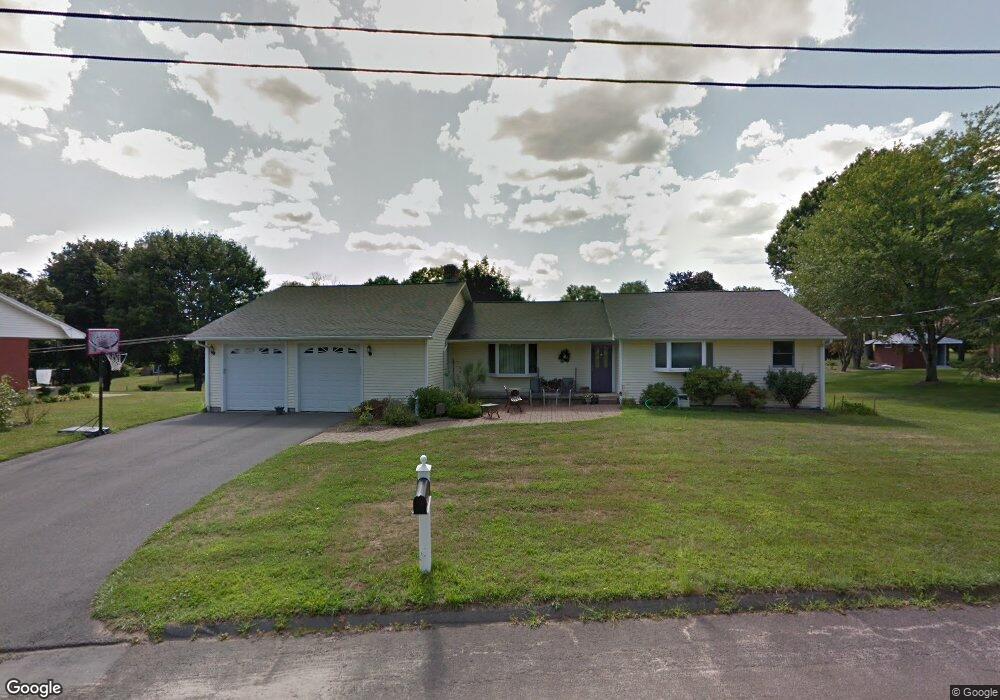
122 Mcdowell Rd Middletown, CT 06457
Estimated Value: $366,000 - $481,000
3
Beds
2
Baths
1,582
Sq Ft
$267/Sq Ft
Est. Value
About This Home
This home is located at 122 Mcdowell Rd, Middletown, CT 06457 and is currently estimated at $421,653, approximately $266 per square foot. 122 Mcdowell Rd is a home located in Middlesex County with nearby schools including Wesley School, Middletown High School, and St John Paul II School.
Ownership History
Date
Name
Owned For
Owner Type
Purchase Details
Closed on
Nov 2, 1998
Sold by
Davis Dwight and Davis Denise M
Bought by
Olsen James C and Olsen Kimberly B
Current Estimated Value
Purchase Details
Closed on
Jan 16, 1992
Sold by
Whitney Patricia K
Bought by
Davis Dwight
Create a Home Valuation Report for This Property
The Home Valuation Report is an in-depth analysis detailing your home's value as well as a comparison with similar homes in the area
Home Values in the Area
Average Home Value in this Area
Purchase History
| Date | Buyer | Sale Price | Title Company |
|---|---|---|---|
| Olsen James C | $123,000 | -- | |
| Davis Dwight | $60,000 | -- |
Source: Public Records
Mortgage History
| Date | Status | Borrower | Loan Amount |
|---|---|---|---|
| Open | Davis Dwight | $204,000 | |
| Closed | Davis Dwight | $55,500 | |
| Closed | Davis Dwight | $169,500 |
Source: Public Records
Tax History
| Year | Tax Paid | Tax Assessment Tax Assessment Total Assessment is a certain percentage of the fair market value that is determined by local assessors to be the total taxable value of land and additions on the property. | Land | Improvement |
|---|---|---|---|---|
| 2025 | $8,276 | $223,610 | $70,310 | $153,300 |
| 2024 | $7,918 | $223,610 | $70,310 | $153,300 |
| 2023 | $7,516 | $223,610 | $70,310 | $153,300 |
| 2022 | $6,316 | $153,100 | $46,870 | $106,230 |
| 2021 | $6,288 | $153,100 | $46,870 | $106,230 |
| 2020 | $6,278 | $153,100 | $46,870 | $106,230 |
| 2019 | $6,308 | $153,100 | $46,870 | $106,230 |
| 2018 | $6,091 | $153,100 | $46,870 | $106,230 |
| 2017 | $6,477 | $167,440 | $56,510 | $110,930 |
| 2016 | $6,347 | $167,440 | $56,510 | $110,930 |
| 2015 | $6,207 | $167,440 | $56,510 | $110,930 |
| 2014 | $6,200 | $167,440 | $56,510 | $110,930 |
Source: Public Records
Map
Nearby Homes
- 909 Randolph Rd
- 50 Cedar St
- 63 Millbrook Rd
- 1 Jefferson Ave
- Lot 3 Coleman Rd
- 122 Baldwin Dr
- 70 Jack English Dr
- 28 Kent Ct
- 58 Durant Terrace
- 6 Hillside Ct
- 7 Countryside Ln Unit 4
- 6 Bidwell Terrace
- 15 Blue Spruce St
- Lot 2 Coleman Rd
- 180 Randolph Rd
- 7 Blue Bell Ln
- 3 Blue Bird Rd
- 42 Saybrook Rd
- 5 Wall St
- 37 Dobson Cir
- 132 Mcdowell Rd
- 110 Mcdowell Rd
- 164 Margarite Rd
- 148 Margarite Rd
- 117 Mcdowell Rd
- 129 Mcdowell Rd
- 144 Mcdowell Rd
- 107 Mcdowell Rd
- 178 Margarite Rd
- 00 Mcdowell Rd
- 132 Margarite Rd
- 97 Mcdowell Rd
- 143 Mcdowell Rd
- 143 Margarite Rd
- 84 Mcdowell Rd
- 285 Prout Hill Rd
- 137 Margarite Rd
- 192 Margarite Rd
- 279 Prout Hill Rd
- 124 Murray St
Your Personal Tour Guide
Ask me questions while you tour the home.