Estimated Value: $670,000 - $775,000
2
Beds
2
Baths
2,628
Sq Ft
$271/Sq Ft
Est. Value
About This Home
This home is located at 122 N Day Place, Ariel, WA 98603 and is currently estimated at $711,794, approximately $270 per square foot. 122 N Day Place is a home with nearby schools including Woodland High School.
Ownership History
Date
Name
Owned For
Owner Type
Purchase Details
Closed on
Jun 24, 2024
Sold by
Sand Jeffrey D and Lou Anne
Bought by
Yount James Brandon and Yount Darcy
Current Estimated Value
Home Financials for this Owner
Home Financials are based on the most recent Mortgage that was taken out on this home.
Original Mortgage
$267,750
Outstanding Balance
$267,090
Interest Rate
7.02%
Mortgage Type
New Conventional
Estimated Equity
$441,390
Purchase Details
Closed on
Dec 23, 2013
Sold by
Sand Lou Anne B
Bought by
Sand Jeffery D and Sand Lou Anne B
Home Financials for this Owner
Home Financials are based on the most recent Mortgage that was taken out on this home.
Original Mortgage
$60,000
Interest Rate
4.46%
Mortgage Type
Credit Line Revolving
Purchase Details
Closed on
Sep 3, 2013
Sold by
Jolly Stephen P and Jolly Louanne B
Bought by
Sand Louanne B
Purchase Details
Closed on
Aug 1, 2006
Sold by
Jolly Stephen P and Hamilton Lou Anne B
Bought by
Jolly Stephen P and Jolly Lou Anne B
Home Financials for this Owner
Home Financials are based on the most recent Mortgage that was taken out on this home.
Original Mortgage
$36,664
Interest Rate
6.69%
Mortgage Type
Stand Alone Refi Refinance Of Original Loan
Create a Home Valuation Report for This Property
The Home Valuation Report is an in-depth analysis detailing your home's value as well as a comparison with similar homes in the area
Home Values in the Area
Average Home Value in this Area
Purchase History
| Date | Buyer | Sale Price | Title Company |
|---|---|---|---|
| Yount James Brandon | $661,765 | Cowlitz County Title | |
| Sand Jeffery D | -- | Stewart Title | |
| Sand Louanne B | -- | None Available | |
| Jolly Stephen P | -- | Stewart Title |
Source: Public Records
Mortgage History
| Date | Status | Borrower | Loan Amount |
|---|---|---|---|
| Open | Yount James Brandon | $267,750 | |
| Previous Owner | Sand Jeffrey D | $97,000 | |
| Previous Owner | Sand Jeffery D | $60,000 | |
| Previous Owner | Jolly Stephen P | $36,664 |
Source: Public Records
Tax History Compared to Growth
Tax History
| Year | Tax Paid | Tax Assessment Tax Assessment Total Assessment is a certain percentage of the fair market value that is determined by local assessors to be the total taxable value of land and additions on the property. | Land | Improvement |
|---|---|---|---|---|
| 2024 | $6,226 | $544,910 | $14,920 | $529,990 |
| 2023 | $3,682 | $500,210 | $13,560 | $486,650 |
| 2022 | $4,465 | $530,490 | $11,740 | $518,750 |
| 2021 | $6,526 | $406,380 | $10,330 | $396,050 |
| 2020 | $5,649 | $572,900 | $7,840 | $565,060 |
| 2019 | $3,696 | $482,500 | $7,660 | $474,840 |
| 2018 | $4,087 | $337,410 | $7,660 | $329,750 |
| 2017 | $3,287 | $299,050 | $7,370 | $291,680 |
| 2016 | $3,062 | $263,810 | $6,700 | $257,110 |
| 2015 | $3,451 | $246,850 | $6,530 | $240,320 |
| 2013 | -- | $124,020 | $6,350 | $117,670 |
Source: Public Records
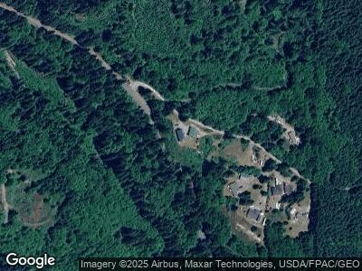
Map
Nearby Homes
- 53 Bunting Dr
- 11646 Lewis River Rd
- 0 NE Buncombe Hollow Rd Unit 24242914
- 5601 Lewis River Rd
- 20019 NE Buncombe Hollow Rd
- 8475 Kalama River Rd
- 140 Skinner Rd
- 0 NE Cedar Mist Rd
- 393 Hansen Ext Rd
- 375 Hansen Ext Rd
- 375 Hansen Ext Rd Unit 4
- 41911 NE Munch Rd
- 43204 NE 76th Ave
- 0 High Bank Ln Unit Lot C NWM2338470
- 0 High Bank Ln Unit C 515476630
- 267 Eagle Point Dr
- 4390 Old Lewis River Rd
- 498 Bryant Hill Rd
- 13500 NE 406th St
- 14900 NE Critter Hill Dr